Kalpeni Island

Welcome to Kalpeni Island, a Tropical island in the Laccadive Sea, part of the majestic Indian Ocean. This guide offers a comprehensive overview of what makes Kalpeni Island unique – from its geography and climate to its population, infrastructure, and beyond. Dive into the details:
- Geography and Size: Explore the island’s size and location.
- Climate and Weather: Weather patterns and temperature.
- Topography and Nature: Uncover the natural wonders of the island.
- Infrastructure and Travelling: Insights on reaching, staying, and making the most of your visit.
- News and Headlines: Latest News.
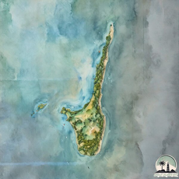
Geography and size of Kalpeni Island
Size: 2.457 km²
Coastline: 13.1 km
Ocean: Indian Ocean
Sea: Laccadive Sea
Continent: Seven seas (open ocean)
Kalpeni Island is a Small Island spanning 2.5 km² with a coastline of 13.1 km.
Archipel: Laccadive Islands – Also known as Lakshadweep, a group of islands off the southwestern coast of India, known for their pristine beauty and coral reefs.
Tectonic Plate: Burma – Also known as the Burma Plate, it’s a minor tectonic plate in Southeast Asia, largely covering Burma (Myanmar) and parts of the Indian Ocean. It’s involved in the subduction process under the Eurasian Plate, contributing to seismic activity in the region.
The geographic heart of the island is pinpointed at these coordinates:
Latitude: 10.07065747 / Longitude: 73.64440584
Climate and weather of Kalpeni Island
Climate Zone: Tropical
Climate Details: Tropical Monsoon Climate
Temperature: Hot
Climate Characteristics: Characterized by heavy rainfall, high humidity, and uniformly high temperatures, but with a distinct short dry season. It features a seasonal reversal of prevailing wind directions.
Topography and nature of Kalpeni Island
Timezone: UTC+05:30
Timezone places:
Max. Elevation: 5 m
Mean Elevation: -5 m
Vegetation: Deciduous Broadleaf Forest
Tree Coverage: 64%
The mean elevation is -5 m. The highest elevation on the island reaches approximately 5 meters above sea level. The island is characterized by Plains: Flat, low-lying lands characterized by a maximum elevation of up to 200 meters. On islands, plains are typically coastal lowlands or central flat areas.
Dominating Vegetation: Deciduous Broadleaf Forest
Composed of broadleaf trees that shed their leaves seasonally. These forests are commonly found in temperate zones and experience distinct seasonal changes. Kalpeni Island has a tree cover of 64 %.
Vegetation: 5 vegetation zones – Highly Diverse Island
With five different vegetation zones, these islands offer a rich tapestry of ecosystems. The variety could include dense forests, open meadows, wetlands, coastal zones, and more. This level of diversity supports an intricate web of life, with each zone playing a vital role in the overall ecological health and balance of the island.
Infrastructure and Travelling to Kalpeni Island
Does the island have a public airport? no.
There is no public and scheduled airport on Kalpeni Island. The nearest airport is Agatti Airport, located 182 km away.
Does the island have a major port? no.
There are no major ports on Kalpeni Island. The closest major port is BEYPORE, approximately 266 km away.
The mean population of Kalpeni Island is 1406 per km². Kalpeni Island is Densely Populated. The island belongs to India.
Continuing your journey, Ramanthali is the next notable island, situated merely km away.
Kalpeni Island is a Beauty 😍 Go Lakshadweep! 🌴🤌🏼


India is classified as Emerging region: BRIC: Brazil, Russia, India, and China – Economies noted for their rapid growth and increasing influence on global affairs. The level of income is Lower middle income.
News – Latest Updates and Headlines from Kalpeni Island
Stay informed with the most recent news and important headlines from Kalpeni Island. Here’s a roundup of the latest developments.
Please note: The data used here has been primarily extracted from satellite readings. Deviations from exact values may occur, particularly regarding the height of elevations and population density. Land area and coastline measurements refer to average values at mean high tide.