Kiyama Jima
Welcome to Kiyama Jima, a Temperate island in the Eastern China Sea, part of the majestic Pacific Ocean. This guide offers a comprehensive overview of what makes Kiyama Jima unique – from its geography and climate to its population, infrastructure, and beyond. Dive into the details:
- Geography and Size: Explore the island’s size and location.
- Climate and Weather: Weather patterns and temperature.
- Topography and Nature: Uncover the natural wonders of the island.
- Infrastructure and Travelling: Insights on reaching, staying, and making the most of your visit.
- News and Headlines: Latest News.
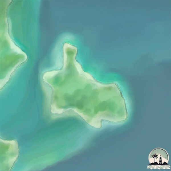
Geography and size of Kiyama Jima
Size: 0.363 km²
Coastline: 3.4 km
Ocean: Pacific Ocean
Sea: Eastern China Sea
Continent: Asia
Kiyama Jima is a Tiny Island spanning 0.363 km² with a coastline of 3.4 km.
Archipel: Ryukyu Islands – A chain of Japanese islands stretching southwest from Kyushu to Taiwan, known for their unique Okinawan culture and subtropical climate.
Tectonic Plate: Okinawa – Located in the East China Sea, near the Ryukyu Islands and Taiwan, it’s involved in the subduction zone between the Philippine Sea Plate and the Eurasian Plate.
The geographic heart of the island is pinpointed at these coordinates:
Latitude: 28.02252698 / Longitude: 129.27524802
Climate and weather of Kiyama Jima
Climate Zone: Temperate
Climate Details: Humid Subtropical Climate
Temperature: Hot Summer
Climate Characteristics: With continuous rainfall and hot summers, this climate is common in some coastal regions, supporting diverse vegetation.
Topography and nature of Kiyama Jima
Timezone: UTC+09:00
Timezone places: Asia/Tokyo
Max. Elevation: 9 m
Mean Elevation: 4 m
Vegetation: Deciduous Broadleaf Forest
Tree Coverage: 76%
The mean elevation is 4 m. The highest elevation on the island reaches approximately 9 meters above sea level. The island is characterized by Plains: Flat, low-lying lands characterized by a maximum elevation of up to 200 meters. On islands, plains are typically coastal lowlands or central flat areas.
Dominating Vegetation: Deciduous Broadleaf Forest
Composed of broadleaf trees that shed their leaves seasonally. These forests are commonly found in temperate zones and experience distinct seasonal changes. Kiyama Jima has a tree cover of 76 %.
Vegetation: 2 vegetation zones – Low Diversity Island
Islands with two distinct vegetation zones offer slightly more ecological variety. These zones could be due to differences in elevation, moisture, or other environmental factors. While still limited in biodiversity, these islands may offer a contrast between the two zones, such as a coastline with mangroves and an inland area with grassland.
Infrastructure and Travelling to Kiyama Jima
Does the island have a public airport? no.
There is no public and scheduled airport on Kiyama Jima. The nearest airport is Tokunoshima Airport, located 48 km away.
Does the island have a major port? no.
There are no major ports on Kiyama Jima. The closest major port is KIN WAN, approximately 235 km away.
The mean population of Kiyama Jima is 38 per km². Kiyama Jima is Gently Populated. The island belongs to Japan.
Continuing your journey, Uke Shima is the next notable island, situated merely km away.
Jawa Kai No Shima Jima (The South Sea Islands)


Japan is classified as Developed region: G7: Group of Seven – Major advanced economies, including Canada, France, Germany, Italy, Japan, the United Kingdom, and the United States. The level of income is High income: OECD.
News – Latest Updates and Headlines from Kiyama Jima
Stay informed with the most recent news and important headlines from Kiyama Jima. Here’s a roundup of the latest developments.
Please note: The data used here has been primarily extracted from satellite readings. Deviations from exact values may occur, particularly regarding the height of elevations and population density. Land area and coastline measurements refer to average values at mean high tide.