Ko Khon Thi
Welcome to Ko Khon Thi, a Tropical island in the Andaman or Burma Sea, part of the majestic Indian Ocean. This guide offers a comprehensive overview of what makes Ko Khon Thi unique – from its geography and climate to its population, infrastructure, and beyond. Dive into the details:
- Geography and Size: Explore the island’s size and location.
- Climate and Weather: Weather patterns and temperature.
- Topography and Nature: Uncover the natural wonders of the island.
- Infrastructure and Travelling: Insights on reaching, staying, and making the most of your visit.
- News and Headlines: Latest News.
Geography and size of Ko Khon Thi
Size: 1.061 km²
Coastline: 5.4 km
Ocean: Indian Ocean
Sea: Andaman or Burma Sea
Continent: Asia
Ko Khon Thi is a Small Island spanning 1.1 km² with a coastline of 5.4 km.
Archipel: –
Tectonic Plate: Sunda – Extends across Southeast Asia, encompassing parts of the Sunda Shelf, known for its interaction with the Australian Plate, contributing to volcanic activity in Indonesia.
The geographic heart of the island is pinpointed at these coordinates:
Latitude: 9.94674337 / Longitude: 98.59001571
Climate and weather of Ko Khon Thi
Climate Zone: Tropical
Climate Details: Tropical Monsoon Climate
Temperature: Hot
Climate Characteristics: Characterized by heavy rainfall, high humidity, and uniformly high temperatures, but with a distinct short dry season. It features a seasonal reversal of prevailing wind directions.
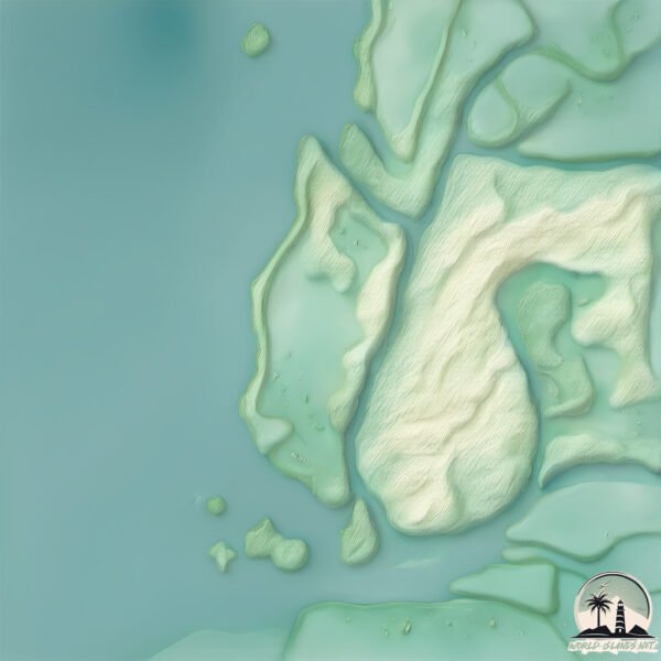
Topography and nature of Ko Khon Thi
Timezone: UTC+07:00
Timezone places: Asia/Jakarta
Max. Elevation: 11 m
Mean Elevation: 5 m
Vegetation: Deciduous Broadleaf Forest
Tree Coverage: 34%
The mean elevation is 5 m. The highest elevation on the island reaches approximately 11 meters above sea level. The island is characterized by Plains: Flat, low-lying lands characterized by a maximum elevation of up to 200 meters. On islands, plains are typically coastal lowlands or central flat areas.
Dominating Vegetation: Deciduous Broadleaf Forest
Composed of broadleaf trees that shed their leaves seasonally. These forests are commonly found in temperate zones and experience distinct seasonal changes. Ko Khon Thi has a tree cover of 34 %.
Vegetation: 4 vegetation zones – Diverse Island
Four distinct vegetation zones mark these islands as ecologically diverse. They might feature varied landscapes such as forests, beaches, grasslands, and rocky areas. Such diversity reflects the island’s complex ecological interactions and varied habitats, which can support a rich array of wildlife and plant species.
Infrastructure and Travelling to Ko Khon Thi
Does the island have a public airport? no.
There is no public and scheduled airport on Ko Khon Thi. The nearest airport is Kawthoung Airport, located 12 km away.
Does the island have a major port? no.
There are no major ports on Ko Khon Thi. The closest major port is KHANOM, approximately 167 km away.
The mean population of Ko Khon Thi is 266 per km². Ko Khon Thi is Moderately Inhabited. The island belongs to Thailand.
Continuing your journey, Ko Chang is the next notable island, situated merely km away.
15 Things I Wish I Knew BEFORE Visiting KOH PHANGAN, THAILAND


Thailand is classified as Emerging region: G20: Group of Twenty – Major economies comprising both developed and emerging countries, representing the world’s largest economies. The level of income is Upper middle income.
News – Latest Updates and Headlines from Ko Khon Thi
Stay informed with the most recent news and important headlines from Ko Khon Thi. Here’s a roundup of the latest developments.
Please note: The data used here has been primarily extracted from satellite readings. Deviations from exact values may occur, particularly regarding the height of elevations and population density. Land area and coastline measurements refer to average values at mean high tide.