Ko Phai
Welcome to Ko Phai, a Tropical island in the Gulf of Thailand, part of the majestic Pacific Ocean. This guide offers a comprehensive overview of what makes Ko Phai unique – from its geography and climate to its population, infrastructure, and beyond. Dive into the details:
- Geography and Size: Explore the island’s size and location.
- Climate and Weather: Weather patterns and temperature.
- Topography and Nature: Uncover the natural wonders of the island.
- Infrastructure and Travelling: Insights on reaching, staying, and making the most of your visit.
- News and Headlines: Latest News.
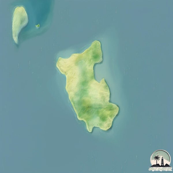
Geography and size of Ko Phai
Size: 4.297 km²
Coastline: 11.5 km
Ocean: Pacific Ocean
Sea: Gulf of Thailand
Continent: Asia
Ko Phai is a Small Island spanning 4.3 km² with a coastline of 11.5 km.
Archipel: –
Tectonic Plate: Sunda – Extends across Southeast Asia, encompassing parts of the Sunda Shelf, known for its interaction with the Australian Plate, contributing to volcanic activity in Indonesia.
The geographic heart of the island is pinpointed at these coordinates:
Latitude: 12.93504305 / Longitude: 100.67435833
Climate and weather of Ko Phai
Climate Zone: Tropical
Climate Details: Tropical Savanna, Wet
Temperature: Hot
Climate Characteristics: Defined by distinct wet and dry seasons with high temperatures year-round. Pronounced rainfall occurs during the wet season, while the dry season is marked by drought.
Topography and nature of Ko Phai
Timezone: UTC+07:00
Timezone places: Asia/Jakarta
Max. Elevation: 66 m
Mean Elevation: 43 m
Vegetation: Evergreen Broadleaf Forest
Tree Coverage: 63%
The mean elevation is 43 m. The highest elevation on the island reaches approximately 66 meters above sea level. The island is characterized by Plains: Flat, low-lying lands characterized by a maximum elevation of up to 200 meters. On islands, plains are typically coastal lowlands or central flat areas.
Dominating Vegetation: Evergreen Broadleaf Forest
Characterized by dense, lush canopies of broadleaf trees that retain their leaves year-round. These forests are typically found in tropical and subtropical regions and are known for their high biodiversity. Ko Phai has a tree cover of 63 %.
Vegetation: 5 vegetation zones – Highly Diverse Island
With five different vegetation zones, these islands offer a rich tapestry of ecosystems. The variety could include dense forests, open meadows, wetlands, coastal zones, and more. This level of diversity supports an intricate web of life, with each zone playing a vital role in the overall ecological health and balance of the island.
Infrastructure and Travelling to Ko Phai
Does the island have a public airport? no.
There is no public and scheduled airport on Ko Phai. The nearest airport is U-Tapao International Airport, located 45 km away.
Does the island have a major port? no.
There are no major ports on Ko Phai. The closest major port is LAEM CHABANG, approximately 27 km away.
The mean population of Ko Phai is 691 per km². Ko Phai is Densely Populated. The island belongs to Thailand.
Continuing your journey, Khram Yai is the next notable island, situated merely km away.
A Day In Pattaya EP04: Koh Phai, Monkey Isle, Koh Rin


Thailand is classified as Emerging region: G20: Group of Twenty – Major economies comprising both developed and emerging countries, representing the world’s largest economies. The level of income is Upper middle income.
News – Latest Updates and Headlines from Ko Phai
Stay informed with the most recent news and important headlines from Ko Phai. Here’s a roundup of the latest developments.
Please note: The data used here has been primarily extracted from satellite readings. Deviations from exact values may occur, particularly regarding the height of elevations and population density. Land area and coastline measurements refer to average values at mean high tide.