Kortimaw
Welcome to Kortimaw, a Tropical island in the North Atlantic Ocean, part of the majestic Atlantic Ocean. This guide offers a comprehensive overview of what makes Kortimaw unique – from its geography and climate to its population, infrastructure, and beyond. Dive into the details:
- Geography and Size: Explore the island’s size and location.
- Climate and Weather: Weather patterns and temperature.
- Topography and Nature: Uncover the natural wonders of the island.
- Infrastructure and Travelling: Insights on reaching, staying, and making the most of your visit.
- News and Headlines: Latest News.
Geography and size of Kortimaw
Size: 9.422 km²
Coastline: 15.1 km
Ocean: Atlantic Ocean
Sea: North Atlantic Ocean
Continent: Africa
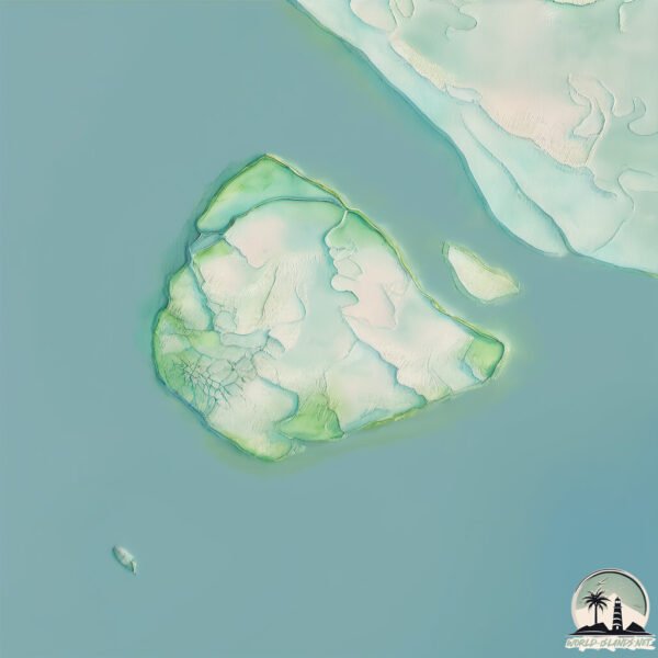
Kortimaw is a Small Island spanning 9.4 km² with a coastline of 15.1 km.
Archipel: –
Tectonic Plate: South America – A major plate covering the South American continent and part of the Atlantic Ocean, known for the Andes mountain range and significant seismic and volcanic activity.
The geographic heart of the island is pinpointed at these coordinates:
Latitude: 8.90243343 / Longitude: -13.22090522
Climate and weather of Kortimaw
Climate Zone: Tropical
Climate Details: Tropical Monsoon Climate
Temperature: Hot
Climate Characteristics: Characterized by heavy rainfall, high humidity, and uniformly high temperatures, but with a distinct short dry season. It features a seasonal reversal of prevailing wind directions.
Topography and nature of Kortimaw
Timezone: UTC±00:00
Timezone places: Europe/Lisbon
Max. Elevation: 8 m
Mean Elevation: 5 m
Vegetation: Open Woodland
Tree Coverage: 10%
The mean elevation is 5 m. The highest elevation on the island reaches approximately 8 meters above sea level. The island is characterized by Plains: Flat, low-lying lands characterized by a maximum elevation of up to 200 meters. On islands, plains are typically coastal lowlands or central flat areas.
Dominating Vegetation: Open Woodland
Characterized by sparsely distributed trees with open canopy allowing sunlight to penetrate, supporting grasses and shrubs underneath. Often found in drier or transitional environments. Kortimaw has a tree cover of 10 %.
Vegetation: 7 vegetation zones – Very Highly Diverse Island
Islands in this range are ecological powerhouses, showcasing a wide array of vegetation zones. Each zone, from lush rainforests to arid scrublands, coastal mangroves to mountainous regions, contributes to a complex and interdependent ecosystem. These islands are often hotspots of biodiversity, supporting numerous species and intricate ecological processes.
Infrastructure and Travelling to Kortimaw
Does the island have a public airport? no.
There is no public and scheduled airport on Kortimaw. The nearest airport is Lungi International Airport, located 30 km away.
Does the island have a major port? no.
There are no major ports on Kortimaw. The closest major port is BENTI, approximately 28 km away.
The mean population of Kortimaw is 143 per km². Kortimaw is Moderately Inhabited. The island belongs to Sierra Leone.
Continuing your journey, Île de Kakossa is the next notable island, situated merely km away.
Sierra Leone’s Tiwai Reserve joins UNESCO World Heritage list • FRANCE 24 English


Sierra Leone is classified as Least developed region: Countries that exhibit the lowest indicators of socioeconomic development, with the lowest Human Development Index ratings. The level of income is Low income.
News – Latest Updates and Headlines from Kortimaw
Stay informed with the most recent news and important headlines from Kortimaw. Here’s a roundup of the latest developments.
Please note: The data used here has been primarily extracted from satellite readings. Deviations from exact values may occur, particularly regarding the height of elevations and population density. Land area and coastline measurements refer to average values at mean high tide.