Kunoy
Welcome to Kunoy, a Polar island in the North Atlantic Ocean, part of the majestic Atlantic Ocean. This guide offers a comprehensive overview of what makes Kunoy unique – from its geography and climate to its population, infrastructure, and beyond. Dive into the details:
- Geography and Size: Explore the island’s size and location.
- Climate and Weather: Weather patterns and temperature.
- Topography and Nature: Uncover the natural wonders of the island.
- Infrastructure and Travelling: Insights on reaching, staying, and making the most of your visit.
- News and Headlines: Latest News.
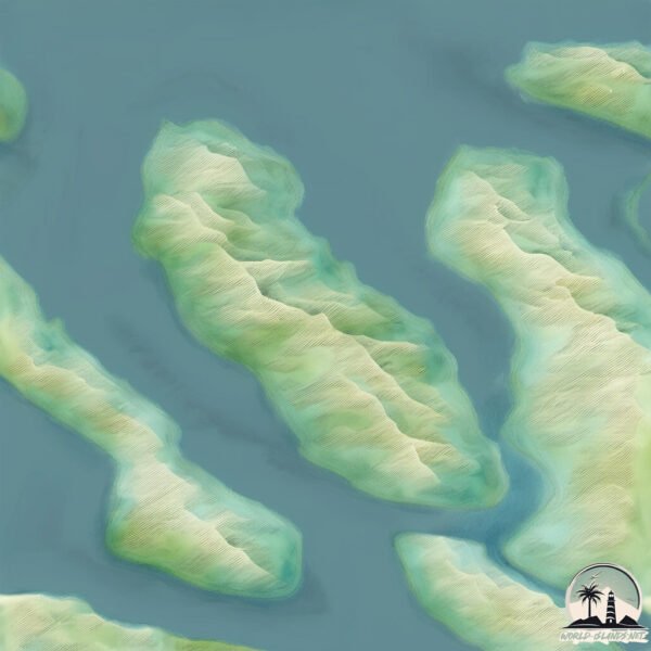
Geography and size of Kunoy
Size: 35.6 km²
Coastline: 29.5 km
Ocean: Atlantic Ocean
Sea: North Atlantic Ocean
Continent: Europe
Kunoy is a Medium Island spanning 36 km² with a coastline of 29 km.
Archipel: Faroe Islands – An autonomous territory within the Kingdom of Denmark, located between Norway and Iceland, known for their rugged terrain and unique Nordic culture.
Tectonic Plate: North America – Covers North America and parts of the Atlantic and Arctic Oceans, characterized by diverse geological features and varying levels of seismic activity.
The geographic heart of the island is pinpointed at these coordinates:
Latitude: 62.30438471 / Longitude: -6.65443138
Climate and weather of Kunoy
Climate Zone: Polar
Climate Details: Tundra
Temperature: Cold
Climate Characteristics: The tundra climate features long, extremely cold winters and short, cool summers. Vegetation is limited to mosses, lichens, and small shrubs due to the low temperatures and short growing seasons. Biodiversity is low, but some specialized species thrive.
Topography and nature of Kunoy
Timezone: UTC±00:00
Timezone places: Europe/London
Max. Elevation: 785 m
Mean Elevation: 387 m
Vegetation: Open Woodland
Tree Coverage: 48%
The mean elevation is 387 m. The highest elevation on the island reaches approximately 785 meters above sea level. The island is characterized by Mountains: High, steeply elevated landforms. Characterized by both a high maximum elevation (over 500 meters) and a high mean elevation, creating rugged, mountainous terrains on islands.
Dominating Vegetation: Open Woodland
Characterized by sparsely distributed trees with open canopy allowing sunlight to penetrate, supporting grasses and shrubs underneath. Often found in drier or transitional environments. Kunoy has a tree cover of 48 %.
Vegetation: 11 vegetation zones – Exceptionally Diverse Island
Islands with more than ten vegetation zones are among the most ecologically rich and varied in the world. These islands are akin to miniature continents, boasting an incredible array of ecosystems. The sheer range of habitats, from high peaks to deep valleys, rainforests to deserts, creates a mosaic of life that is unparalleled. They are crucial for conservation and ecological studies.
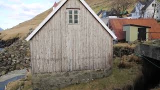
Infrastructure and Travelling to Kunoy
Does the island have a public airport? no.
There is no public and scheduled airport on Kunoy. The nearest airport is Klaksvík Heliport, located 4 km away.
Does the island have a major port? no.
There are no major ports on Kunoy. The closest major port is KLAKSVIK, approximately 3 km away.
The mean population of Kunoy is 5 per km². Kunoy is Gently Populated. The island belongs to Denmark.
Continuing your journey, Kalsoy is the next notable island, situated merely km away.
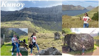
BIG ROCK | SMALL FOREST | KUNOY FAROE ISLANDS

Denmark is classified as Developed region: nonG7: Developed economies outside of the Group of Seven, characterized by high income and advanced economic structures. The level of income is High income: OECD.
News – Latest Updates and Headlines from Kunoy
Stay informed with the most recent news and important headlines from Kunoy. Here’s a roundup of the latest developments.
Please note: The data used here has been primarily extracted from satellite readings. Deviations from exact values may occur, particularly regarding the height of elevations and population density. Land area and coastline measurements refer to average values at mean high tide.