Kvitoya
Welcome to Kvitoya, a Polar island in the Barentsz Sea, part of the majestic Arctic Ocean. This guide offers a comprehensive overview of what makes Kvitoya unique – from its geography and climate to its population, infrastructure, and beyond. Dive into the details:
- Geography and Size: Explore the island’s size and location.
- Climate and Weather: Weather patterns and temperature.
- Topography and Nature: Uncover the natural wonders of the island.
- Infrastructure and Travelling: Insights on reaching, staying, and making the most of your visit.
- News and Headlines: Latest News.
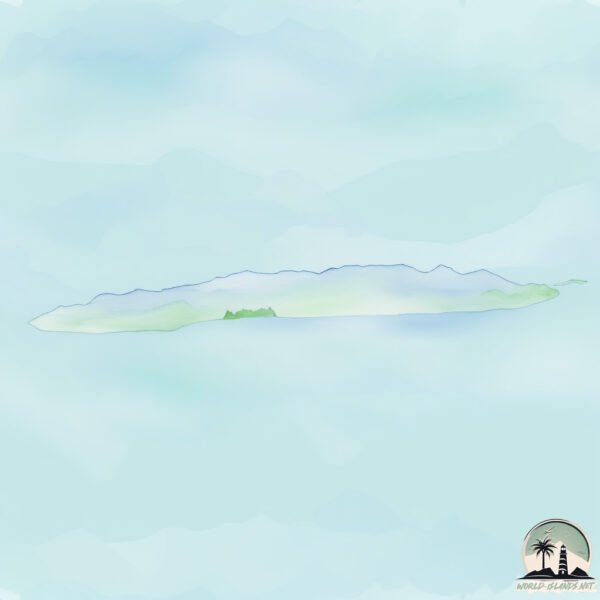
Geography and size of Kvitoya
Size: 650.8 km²
Coastline: 152.4 km
Ocean: Arctic Ocean
Sea: Barentsz Sea
Continent: Europe
Kvitoya is a Large Island spanning 651 km² with a coastline of 152 km.
Archipel: Svalbard – A Norwegian archipelago in the Arctic Ocean, known for its rugged remote terrain, polar bears, and as a center for Arctic research.
Tectonic Plate: South America – A major plate covering the South American continent and part of the Atlantic Ocean, known for the Andes mountain range and significant seismic and volcanic activity.
The geographic heart of the island is pinpointed at these coordinates:
Latitude: 80.18316946 / Longitude: 32.46255556
Climate and weather of Kvitoya
Climate Zone: Polar
Climate Details: Tundra
Temperature: Cold
Climate Characteristics: The tundra climate features long, extremely cold winters and short, cool summers. Vegetation is limited to mosses, lichens, and small shrubs due to the low temperatures and short growing seasons. Biodiversity is low, but some specialized species thrive.
Topography and nature of Kvitoya
Timezone: UTC+01:00
Timezone places: Europe/Paris
Max. Elevation: 428 m
Mean Elevation: 233 m
Vegetation: Snow and Ice Covered
Tree Coverage: 12%
The mean elevation is 233 m. The highest elevation on the island reaches approximately 428 meters above sea level. The island is characterized by Hills: Gently sloping landforms with rounded tops, having a maximum elevation between 200 and 500 meters. Hills contribute to a varied landscape on islands.
Dominating Vegetation: Snow and Ice Covered
These areas are permanently or seasonally covered in snow and ice, with little to no vegetation, such as polar regions and high mountains. Kvitoya has a tree cover of 12 %.
Vegetation: 3 vegetation zones – Moderately Diverse Island
These islands start to show a broader range of ecological niches. With three vegetation zones, they may offer a mix of ecosystems like coastal areas, inland woods, and perhaps a distinct wetland or dry area. This diversity supports a wider range of flora and fauna, making these islands more ecologically complex than those with minimal diversity.
Infrastructure and Travelling to Kvitoya
Does the island have a public airport? no.
There is no public and scheduled airport on Kvitoya. The nearest airport is Berlevåg Airport, located 1058 km away.
Does the island have a major port? no.
There are no major ports on Kvitoya. The closest major port is BERLEVAG, approximately 1056 km away.
The mean population of Kvitoya is 0 per km². Kvitoya is Uninhabited. The island belongs to Norway.
The name of the island resonates across different cultures and languages. Here is how it is known around the world: Arabic: كفيتويا; German: Kvitøya; Spanish: Kvitøya; French: Kvitøya; Portuguese: Ilha Kvit; Russian: Белый; Chinese: 白岛
Continuing your journey, Abeloya is the next notable island, situated merely km away.
Kvitøya


Norway is classified as Developed region: nonG7: Developed economies outside of the Group of Seven, characterized by high income and advanced economic structures. The level of income is High income: OECD.
News – Latest Updates and Headlines from Kvitoya
Stay informed with the most recent news and important headlines from Kvitoya. Here’s a roundup of the latest developments.
Please note: The data used here has been primarily extracted from satellite readings. Deviations from exact values may occur, particularly regarding the height of elevations and population density. Land area and coastline measurements refer to average values at mean high tide.