Lavinia
Welcome to Lavinia, a Temperate island in the South Pacific Ocean, part of the majestic Pacific Ocean. This guide offers a comprehensive overview of what makes Lavinia unique – from its geography and climate to its population, infrastructure, and beyond. Dive into the details:
- Geography and Size: Explore the island’s size and location.
- Climate and Weather: Weather patterns and temperature.
- Topography and Nature: Uncover the natural wonders of the island.
- Infrastructure and Travelling: Insights on reaching, staying, and making the most of your visit.
- News and Headlines: Latest News.
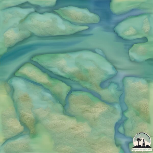
Geography and size of Lavinia
Size: 30.5 km²
Coastline: 48.9 km
Ocean: Pacific Ocean
Sea: South Pacific Ocean
Continent: South America
Lavinia is a Medium Island spanning 31 km² with a coastline of 49 km.
Archipel: Cordillera Patagónica Insular – A series of islands in the Patagonian region, known for their dramatic landscapes and part of the Andean mountain range.
Tectonic Plate: South America – A major plate covering the South American continent and part of the Atlantic Ocean, known for the Andes mountain range and significant seismic and volcanic activity.
The geographic heart of the island is pinpointed at these coordinates:
Latitude: -48.98954349 / Longitude: -75.00328759
Climate and weather of Lavinia
Climate Zone: Temperate
Climate Details: Subpolar Oceanic Climate
Temperature: Cold Summer
Climate Characteristics: Predominantly cold with cool summers and no dry season. Often found in coastal areas at higher latitudes or on islands.
Topography and nature of Lavinia
Timezone: UTC-04:00
Timezone places: America/La_Paz
Max. Elevation: 553 m
Mean Elevation: 219 m
Vegetation: Evergreen Broadleaf Forest
Tree Coverage: 64%
The mean elevation is 219 m. The highest elevation on the island reaches approximately 553 meters above sea level. The island is characterized by Plateau: Elevated flatlands rising sharply above the surrounding area, with a maximum elevation over 500 meters but a mean elevation less than 300 meters, forming unique highland areas on islands.
Dominating Vegetation: Evergreen Broadleaf Forest
Characterized by dense, lush canopies of broadleaf trees that retain their leaves year-round. These forests are typically found in tropical and subtropical regions and are known for their high biodiversity. Lavinia has a tree cover of 64 %.
Vegetation: 6 vegetation zones – Very Highly Diverse Island
Islands in this range are ecological powerhouses, showcasing a wide array of vegetation zones. Each zone, from lush rainforests to arid scrublands, coastal mangroves to mountainous regions, contributes to a complex and interdependent ecosystem. These islands are often hotspots of biodiversity, supporting numerous species and intricate ecological processes.
Infrastructure and Travelling to Lavinia
Does the island have a public airport? no.
There is no public and scheduled airport on Lavinia. The nearest airport is El Calafate – Commander Armando Tola International Airport, located 351 km away.
Does the island have a major port? no.
There are no major ports on Lavinia. The closest major port is PUERTO NATALES, approximately 399 km away.
The mean population of Lavinia is 1 per km². Lavinia is Uninhabited. The island belongs to Chile.
The name of the island resonates across different cultures and languages. Here is how it is known around the world: Arabic: جزيرة ويلينغتون; German: Wellington; Spanish: Isla Wellington; French: île Wellington; Portuguese: Ilha Wellington; Russian: Веллингтон; Chinese: 惠靈頓島
Continuing your journey, Angamos is the next notable island, situated merely km away.
When I realize Sweden has the most islands in the world 🥹🏝️#travelvlog #livingabroad #islandlife


Chile is classified as Emerging region: G20: Group of Twenty – Major economies comprising both developed and emerging countries, representing the world’s largest economies. The level of income is Upper middle income.
News – Latest Updates and Headlines from Lavinia
Stay informed with the most recent news and important headlines from Lavinia. Here’s a roundup of the latest developments.
Please note: The data used here has been primarily extracted from satellite readings. Deviations from exact values may occur, particularly regarding the height of elevations and population density. Land area and coastline measurements refer to average values at mean high tide.