Limaong
Welcome to Limaong, a Tropical island in the Celebes Sea, part of the majestic Pacific Ocean. This guide offers a comprehensive overview of what makes Limaong unique – from its geography and climate to its population, infrastructure, and beyond. Dive into the details:
- Geography and Size: Explore the island’s size and location.
- Climate and Weather: Weather patterns and temperature.
- Topography and Nature: Uncover the natural wonders of the island.
- Infrastructure and Travelling: Insights on reaching, staying, and making the most of your visit.
- News and Headlines: Latest News.
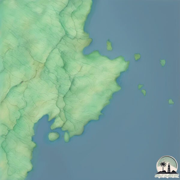
Geography and size of Limaong
Size: 42.3 km²
Coastline: 58.2 km
Ocean: Pacific Ocean
Sea: Celebes Sea
Continent: Asia
Limaong is a Medium Island spanning 42 km² with a coastline of 58 km.
Archipel: Malay Archipelago – The world’s largest archipelago, located between mainland Southeast Asia and Australia, known for its immense biodiversity and cultural diversity.
Tectonic Plate: North America – Covers North America and parts of the Atlantic and Arctic Oceans, characterized by diverse geological features and varying levels of seismic activity.
The geographic heart of the island is pinpointed at these coordinates:
Latitude: 7.36350159 / Longitude: 122.35272561
Climate and weather of Limaong
Climate Zone: Tropical
Climate Details: Tropical Rainforest Climate
Temperature: Hot
Climate Characteristics: This climate is typified by heavy rainfall throughout the year, high humidity, and consistently high temperatures, leading to lush rainforests and rich biodiversity. Seasonal temperature variations are minimal.
Topography and nature of Limaong
Timezone: UTC+08:00
Timezone places: Australia/Perth
Max. Elevation: 52 m
Mean Elevation: 26 m
Vegetation: Agricultural Mosaic
Tree Coverage: 50%
The mean elevation is 26 m. The highest elevation on the island reaches approximately 52 meters above sea level. The island is characterized by Plains: Flat, low-lying lands characterized by a maximum elevation of up to 200 meters. On islands, plains are typically coastal lowlands or central flat areas.
Dominating Vegetation: Agricultural Mosaic
A mix of cropland and natural vegetation, often seen in rural landscapes where agricultural fields are interspersed with patches of natural habitats. Limaong has a tree cover of 50 %.
Vegetation: 11 vegetation zones – Exceptionally Diverse Island
Islands with more than ten vegetation zones are among the most ecologically rich and varied in the world. These islands are akin to miniature continents, boasting an incredible array of ecosystems. The sheer range of habitats, from high peaks to deep valleys, rainforests to deserts, creates a mosaic of life that is unparalleled. They are crucial for conservation and ecological studies.
Infrastructure and Travelling to Limaong
Does the island have a public airport? no.
There is no public and scheduled airport on Limaong. The nearest airport is Zamboanga International Airport, located 52 km away.
Does the island have a major port? no.
There are no major ports on Limaong. The closest major port is ZAMBOANGA, approximately 54 km away.
The mean population of Limaong is 176 per km². Limaong is Moderately Inhabited. The island belongs to Philippines.
The name of the island resonates across different cultures and languages. Here is how it is known around the world: Arabic: مينداناو; German: Mindanao; Spanish: Mindanao; French: Mindanao; Portuguese: Mindanau; Russian: Минданао; Chinese: 棉兰老
Continuing your journey, Sacol is the next notable island, situated merely km away.
Limaong Island Bridge Zamboanga City


Philippines is classified as Emerging region: G20: Group of Twenty – Major economies comprising both developed and emerging countries, representing the world’s largest economies. The level of income is Lower middle income.
News – Latest Updates and Headlines from Limaong
Stay informed with the most recent news and important headlines from Limaong. Here’s a roundup of the latest developments.
Please note: The data used here has been primarily extracted from satellite readings. Deviations from exact values may occur, particularly regarding the height of elevations and population density. Land area and coastline measurements refer to average values at mean high tide.