Liuji Dao
Welcome to Liuji Dao, a Temperate island in the South China Sea, part of the majestic Pacific Ocean. This guide offers a comprehensive overview of what makes Liuji Dao unique – from its geography and climate to its population, infrastructure, and beyond. Dive into the details:
- Geography and Size: Explore the island’s size and location.
- Climate and Weather: Weather patterns and temperature.
- Topography and Nature: Uncover the natural wonders of the island.
- Infrastructure and Travelling: Insights on reaching, staying, and making the most of your visit.
- News and Headlines: Latest News.
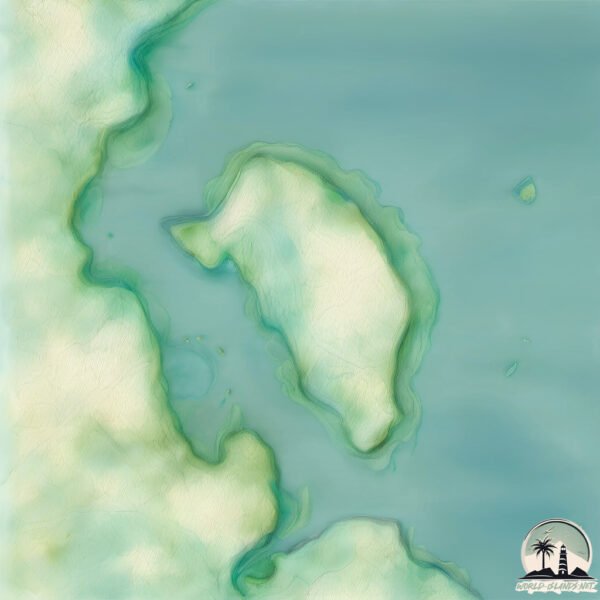
Geography and size of Liuji Dao
Size: 3.396 km²
Coastline: 10.3 km
Ocean: Pacific Ocean
Sea: South China Sea
Continent: Asia
Liuji Dao is a Small Island spanning 3.4 km² with a coastline of 10.3 km.
Archipel: –
Tectonic Plate: Eurasia – One of the world’s largest tectonic plates, the Eurasian Plate covers a significant portion of Europe and Asia. It’s characterized by diverse geological features, including the Ural Mountains, the European Plain, and the Himalayas formed from its collision with the Indian Plate.
The geographic heart of the island is pinpointed at these coordinates:
Latitude: 20.60419205 / Longitude: 110.4154155
Climate and weather of Liuji Dao
Climate Zone: Temperate
Climate Details: Monsoon-Influenced Humid Subtropical Climate
Temperature: Hot Summer
Climate Characteristics: Known for hot, humid summers with significant monsoon rains, contrasted by mild, drier winters.
Topography and nature of Liuji Dao
Timezone: UTC+08:00
Timezone places: Australia/Perth
Max. Elevation: 7 m
Mean Elevation: 4 m
Vegetation: Sparse Vegetation
Tree Coverage: 25%
The mean elevation is 4 m. The highest elevation on the island reaches approximately 7 meters above sea level. The island is characterized by Plains: Flat, low-lying lands characterized by a maximum elevation of up to 200 meters. On islands, plains are typically coastal lowlands or central flat areas.
Dominating Vegetation: Sparse Vegetation
These regions have limited plant growth, typically due to extreme conditions like aridity or poor soils. Vegetation is scattered and consists of hardy plant species. Liuji Dao has a tree cover of 25 %.
Vegetation: 7 vegetation zones – Very Highly Diverse Island
Islands in this range are ecological powerhouses, showcasing a wide array of vegetation zones. Each zone, from lush rainforests to arid scrublands, coastal mangroves to mountainous regions, contributes to a complex and interdependent ecosystem. These islands are often hotspots of biodiversity, supporting numerous species and intricate ecological processes.
Infrastructure and Travelling to Liuji Dao
Does the island have a public airport? no.
There is no public and scheduled airport on Liuji Dao. The nearest airport is Haikou Meilan International Airport, located 73 km away.
Does the island have a major port? no.
There are no major ports on Liuji Dao. The closest major port is HAIKOU, approximately 62 km away.
The mean population of Liuji Dao is 342 per km². Liuji Dao is Moderately Inhabited. The island belongs to China.
Continuing your journey, Naozhou Dao is the next notable island, situated merely km away.
【FULL】EP01-60💥少年叶不归身负三界禁忌踏出仙岛,一入红尘,平衡尽碎 | 合集 | MULTI SUB


China is classified as Emerging region: BRIC: Brazil, Russia, India, and China – Economies noted for their rapid growth and increasing influence on global affairs. The level of income is Upper middle income.
News – Latest Updates and Headlines from Liuji Dao
Stay informed with the most recent news and important headlines from Liuji Dao. Here’s a roundup of the latest developments.
Please note: The data used here has been primarily extracted from satellite readings. Deviations from exact values may occur, particularly regarding the height of elevations and population density. Land area and coastline measurements refer to average values at mean high tide.