Long
Welcome to Long, a Tropical island in the Bay of Bengal, part of the majestic Atlantic Ocean. This guide offers a comprehensive overview of what makes Long unique – from its geography and climate to its population, infrastructure, and beyond. Dive into the details:
- Geography and Size: Explore the island’s size and location.
- Climate and Weather: Weather patterns and temperature.
- Topography and Nature: Uncover the natural wonders of the island.
- Infrastructure and Travelling: Insights on reaching, staying, and making the most of your visit.
- News and Headlines: Latest News.
Geography and size of Long
Size: 2.728 km²
Coastline: 13.4 km
Ocean: Atlantic Ocean
Sea: Bay of Bengal
Continent: North America
Long is a Small Island spanning 2.7 km² with a coastline of 13.4 km.
Archipel: British Isles – A group of islands off the northwest coast of mainland Europe, including Great Britain, Ireland, and over 6,000 smaller islands, known for their rich history and cultural diversity.
Tectonic Plate: Eurasia – One of the world’s largest tectonic plates, the Eurasian Plate covers a significant portion of Europe and Asia. It’s characterized by diverse geological features, including the Ural Mountains, the European Plain, and the Himalayas formed from its collision with the Indian Plate.
The geographic heart of the island is pinpointed at these coordinates:
Latitude: 18.97828538 / Longitude: 80.42546679
Climate and weather of Long
Climate Zone: Tropical
Climate Details: Tropical Monsoon Climate
Temperature: Hot
Climate Characteristics: Characterized by heavy rainfall, high humidity, and uniformly high temperatures, but with a distinct short dry season. It features a seasonal reversal of prevailing wind directions.
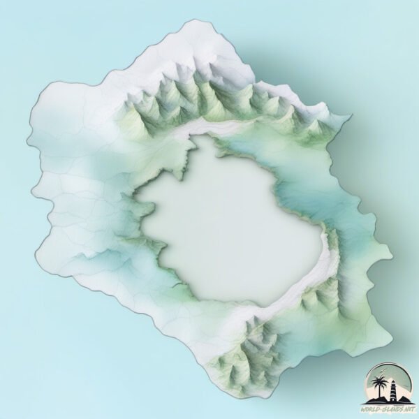
Topography and nature of Long
Timezone: UTC-05:00
Timezone places: America/New_York
Max. Elevation: 16 m
Mean Elevation: 5 m
Vegetation: Agricultural Mosaic
Tree Coverage: 36%
The mean elevation is 5 m. The highest elevation on the island reaches approximately 16 meters above sea level. The island is characterized by Plains: Flat, low-lying lands characterized by a maximum elevation of up to 200 meters. On islands, plains are typically coastal lowlands or central flat areas.
Dominating Vegetation: Agricultural Mosaic
A mix of cropland and natural vegetation, often seen in rural landscapes where agricultural fields are interspersed with patches of natural habitats. Long has a tree cover of 36 %.
Vegetation: 11 vegetation zones – Exceptionally Diverse Island
Islands with more than ten vegetation zones are among the most ecologically rich and varied in the world. These islands are akin to miniature continents, boasting an incredible array of ecosystems. The sheer range of habitats, from high peaks to deep valleys, rainforests to deserts, creates a mosaic of life that is unparalleled. They are crucial for conservation and ecological studies.
Infrastructure and Travelling to Long
Does the island have a public airport? no.
There is no public and scheduled airport on Long. The nearest airport is Norfolk International Airport, located 38 km away.
Does the island have a major port? no.
There are no major ports on Long. The closest major port is BANTRY, approximately 22 km away.
The mean population of Long is 115 per km². Long is Moderately Inhabited. The island belongs to United States of America.
Continuing your journey, Htein Tan Ywar is the next notable island, situated merely km away.
Long Island Explained In 3 Minutes.


United States of America is classified as Least developed region: Countries that exhibit the lowest indicators of socioeconomic development, with the lowest Human Development Index ratings. The level of income is Low income.
News – Latest Updates and Headlines from Long
Stay informed with the most recent news and important headlines from Long. Here’s a roundup of the latest developments.
Please note: The data used here has been primarily extracted from satellite readings. Deviations from exact values may occur, particularly regarding the height of elevations and population density. Land area and coastline measurements refer to average values at mean high tide.