Mapp’s Cay
Welcome to Mapp’s Cay, a Tropical island in the Caribbean Sea, part of the majestic Atlantic Ocean. This guide offers a comprehensive overview of what makes Mapp’s Cay unique – from its geography and climate to its population, infrastructure, and beyond. Dive into the details:
- Geography and Size: Explore the island’s size and location.
- Climate and Weather: Weather patterns and temperature.
- Topography and Nature: Uncover the natural wonders of the island.
- Infrastructure and Travelling: Insights on reaching, staying, and making the most of your visit.
- News and Headlines: Latest News.
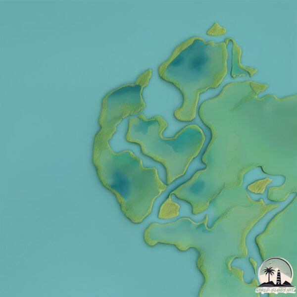
Geography and size of Mapp’s Cay
Size: 0.734 km²
Coastline: 7.9 km
Ocean: Atlantic Ocean
Sea: Caribbean Sea
Continent: North America
Mapp’s Cay is a Tiny Island spanning 0.734 km² with a coastline of 7.9 km.
Archipel: –
Tectonic Plate: North America – Covers North America and parts of the Atlantic and Arctic Oceans, characterized by diverse geological features and varying levels of seismic activity.
The geographic heart of the island is pinpointed at these coordinates:
Latitude: 17.51648132 / Longitude: -88.11404024
Climate and weather of Mapp’s Cay
Climate Zone: Tropical
Climate Details: Tropical Monsoon Climate
Temperature: Hot
Climate Characteristics: Characterized by heavy rainfall, high humidity, and uniformly high temperatures, but with a distinct short dry season. It features a seasonal reversal of prevailing wind directions.
Topography and nature of Mapp’s Cay
Timezone: UTC-06:00
Timezone places: America/Chicago
Max. Elevation: 2 m
Mean Elevation: 1 m
Vegetation: Mangrove Forest
Tree Coverage: 73%
The mean elevation is 1 m. The highest elevation on the island reaches approximately 2 meters above sea level. The island is characterized by Plains: Flat, low-lying lands characterized by a maximum elevation of up to 200 meters. On islands, plains are typically coastal lowlands or central flat areas.
Dominating Vegetation: Mangrove Forest
Found in coastal areas and river deltas, these unique wetland ecosystems are adapted to saline conditions and are crucial for coastal protection and biodiversity. Mapp’s Cay has a tree cover of 73 %.
Vegetation: 3 vegetation zones – Moderately Diverse Island
These islands start to show a broader range of ecological niches. With three vegetation zones, they may offer a mix of ecosystems like coastal areas, inland woods, and perhaps a distinct wetland or dry area. This diversity supports a wider range of flora and fauna, making these islands more ecologically complex than those with minimal diversity.
Infrastructure and Travelling to Mapp’s Cay
Does the island have a public airport? no.
There is no public and scheduled airport on Mapp’s Cay. The nearest airport is Sir Barry Bowen Municipal Airport, located 9 km away.
Does the island have a major port? no.
There are no major ports on Mapp’s Cay. The closest major port is BELIZE CITY, approximately 7 km away.
The mean population of Mapp’s Cay is 49 per km². Mapp’s Cay is Gently Populated. The island belongs to Belize.
Continuing your journey, Drowned Cays is the next notable island, situated merely km away.
paradise Island 🏝️


Belize is classified as Developing region: Regions characterized by lower income levels, with economies in the process of industrialization and modernization. The level of income is Lower middle income.
News – Latest Updates and Headlines from Mapp’s Cay
Stay informed with the most recent news and important headlines from Mapp’s Cay. Here’s a roundup of the latest developments.
Please note: The data used here has been primarily extracted from satellite readings. Deviations from exact values may occur, particularly regarding the height of elevations and population density. Land area and coastline measurements refer to average values at mean high tide.