Menai
Welcome to Menai, a Tropical island in the Indian Ocean, part of the majestic Indian Ocean. This guide offers a comprehensive overview of what makes Menai unique – from its geography and climate to its population, infrastructure, and beyond. Dive into the details:
- Geography and Size: Explore the island’s size and location.
- Climate and Weather: Weather patterns and temperature.
- Topography and Nature: Uncover the natural wonders of the island.
- Infrastructure and Travelling: Insights on reaching, staying, and making the most of your visit.
- News and Headlines: Latest News.
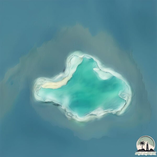
Geography and size of Menai
Size: 19.8 km²
Coastline: 63.9 km
Ocean: Indian Ocean
Sea: Indian Ocean
Continent: Seven seas (open ocean)
Menai is a Medium Island spanning 20 km² with a coastline of 64 km.
Archipel: Seychelles – An archipelago of 115 islands in the Indian Ocean, known for their stunning natural beauty, unique flora and fauna, and as a luxury travel destination.
Tectonic Plate: Pacific – The world’s largest tectonic plate, covering much of the Pacific Ocean, known for the Pacific Ring of Fire with extensive seismic and volcanic activity.
The geographic heart of the island is pinpointed at these coordinates:
Latitude: -9.69923995 / Longitude: 47.56318935
Climate and weather of Menai
Climate Zone: Tropical
Climate Details: Tropical Savanna, Wet
Temperature: Hot
Climate Characteristics: Defined by distinct wet and dry seasons with high temperatures year-round. Pronounced rainfall occurs during the wet season, while the dry season is marked by drought.
Topography and nature of Menai
Timezone: UTC+04:00
Timezone places: Asia/Dubai
Max. Elevation: 9 m
Mean Elevation: -7 m
Vegetation: Open Woodland
Tree Coverage: 99%
The mean elevation is -7 m. The highest elevation on the island reaches approximately 9 meters above sea level. The island is characterized by Plains: Flat, low-lying lands characterized by a maximum elevation of up to 200 meters. On islands, plains are typically coastal lowlands or central flat areas.
Dominating Vegetation: Open Woodland
Characterized by sparsely distributed trees with open canopy allowing sunlight to penetrate, supporting grasses and shrubs underneath. Often found in drier or transitional environments. Menai has a tree cover of 99 %.
Vegetation: 5 vegetation zones – Highly Diverse Island
With five different vegetation zones, these islands offer a rich tapestry of ecosystems. The variety could include dense forests, open meadows, wetlands, coastal zones, and more. This level of diversity supports an intricate web of life, with each zone playing a vital role in the overall ecological health and balance of the island.
Infrastructure and Travelling to Menai
Does the island have a public airport? no.
There is no public and scheduled airport on Menai. The nearest airport is Arrachart Airport, located 346 km away.
Does the island have a major port? no.
There are no major ports on Menai. The closest major port is ANTSIRANANA, approximately 338 km away.
The mean population of Menai is 4 per km². Menai is Gently Populated. The island belongs to Seychelles.
Continuing your journey, Astove is the next notable island, situated merely km away.
The Menai Straits: An Aerial Adventure


Seychelles is classified as Developing region: Regions characterized by lower income levels, with economies in the process of industrialization and modernization. The level of income is Upper middle income.
News – Latest Updates and Headlines from Menai
Stay informed with the most recent news and important headlines from Menai. Here’s a roundup of the latest developments.
Please note: The data used here has been primarily extracted from satellite readings. Deviations from exact values may occur, particularly regarding the height of elevations and population density. Land area and coastline measurements refer to average values at mean high tide.