Miyako Island
Welcome to Miyako Island, a Tropical island in the Eastern China Sea, part of the majestic Pacific Ocean. This guide offers a comprehensive overview of what makes Miyako Island unique – from its geography and climate to its population, infrastructure, and beyond. Dive into the details:
- Geography and Size: Explore the island’s size and location.
- Climate and Weather: Weather patterns and temperature.
- Topography and Nature: Uncover the natural wonders of the island.
- Infrastructure and Travelling: Insights on reaching, staying, and making the most of your visit.
- News and Headlines: Latest News.
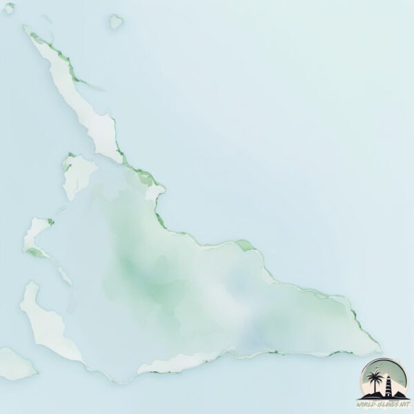
Geography and size of Miyako Island
Size: 161.7 km²
Coastline: 117.6 km
Ocean: Pacific Ocean
Sea: Eastern China Sea
Continent: Asia
Miyako Island is a Large Island spanning 162 km² with a coastline of 118 km.
Archipel: Ryukyu Islands – A chain of Japanese islands stretching southwest from Kyushu to Taiwan, known for their unique Okinawan culture and subtropical climate.
Tectonic Plate: Yangtze – A minor tectonic plate in East Asia, often considered a part of the Eurasian Plate. It’s primarily continental and covers the Yangtze River area in China, playing a significant role in the region’s geological stability.
The geographic heart of the island is pinpointed at these coordinates:
Latitude: 24.77294369 / Longitude: 125.33323466
Climate and weather of Miyako Island
Climate Zone: Tropical
Climate Details: Tropical Rainforest Climate
Temperature: Hot
Climate Characteristics: This climate is typified by heavy rainfall throughout the year, high humidity, and consistently high temperatures, leading to lush rainforests and rich biodiversity. Seasonal temperature variations are minimal.
Topography and nature of Miyako Island
Timezone: UTC+09:00
Timezone places: Asia/Tokyo
Max. Elevation: 89 m
Mean Elevation: 39 m
Vegetation: Agricultural Mosaic
Tree Coverage: 29%
The mean elevation is 39 m. The highest elevation on the island reaches approximately 89 meters above sea level. The island is characterized by Plains: Flat, low-lying lands characterized by a maximum elevation of up to 200 meters. On islands, plains are typically coastal lowlands or central flat areas.
Dominating Vegetation: Agricultural Mosaic
A mix of cropland and natural vegetation, often seen in rural landscapes where agricultural fields are interspersed with patches of natural habitats. Miyako Island has a tree cover of 29 %.
Vegetation: 11 vegetation zones – Exceptionally Diverse Island
Islands with more than ten vegetation zones are among the most ecologically rich and varied in the world. These islands are akin to miniature continents, boasting an incredible array of ecosystems. The sheer range of habitats, from high peaks to deep valleys, rainforests to deserts, creates a mosaic of life that is unparalleled. They are crucial for conservation and ecological studies.
Infrastructure and Travelling to Miyako Island
Does the island have a public airport? yes.
Miyako Island has a public and scheduled airport. The following airports are located on this island: Miyako Airport.
Does the island have a major port? yes.
Miyako Island is home to a major port. The following ports are situated on the island: HIRARA KO.
The mean population of Miyako Island is 255 per km². Miyako Island is Moderately Inhabited. The island belongs to Japan.
Continuing your journey, Irabu-jima is the next notable island, situated merely km away.
Miyako Island, Japan I MIYAKOJIMA, OKINAWA I JAPAN'S PARADISE I Tropical climate and clear seas


Japan is classified as Developed region: G7: Group of Seven – Major advanced economies, including Canada, France, Germany, Italy, Japan, the United Kingdom, and the United States. The level of income is High income: OECD.
News – Latest Updates and Headlines from Miyako Island
Stay informed with the most recent news and important headlines from Miyako Island. Here’s a roundup of the latest developments.
Please note: The data used here has been primarily extracted from satellite readings. Deviations from exact values may occur, particularly regarding the height of elevations and population density. Land area and coastline measurements refer to average values at mean high tide.