Mubarraz
Welcome to Mubarraz, a Dry island in the Persian Gulf, part of the majestic Indian Ocean. This guide offers a comprehensive overview of what makes Mubarraz unique – from its geography and climate to its population, infrastructure, and beyond. Dive into the details:
- Geography and Size: Explore the island’s size and location.
- Climate and Weather: Weather patterns and temperature.
- Topography and Nature: Uncover the natural wonders of the island.
- Infrastructure and Travelling: Insights on reaching, staying, and making the most of your visit.
- News and Headlines: Latest News.
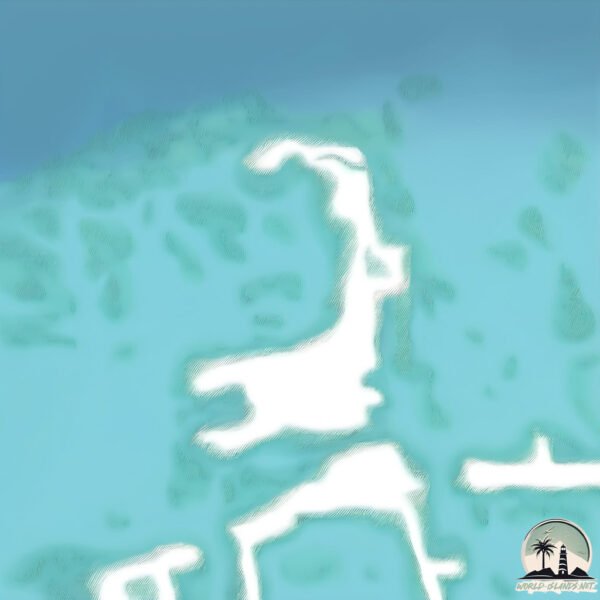
Geography and size of Mubarraz
Size: 1.426 km²
Coastline: 9.8 km
Ocean: Indian Ocean
Sea: Persian Gulf
Continent: Asia
Mubarraz is a Small Island spanning 1.4 km² with a coastline of 9.8 km.
Archipel: –
Tectonic Plate: India – A major tectonic plate that initially moved northward at a rapid pace before colliding with the Eurasian Plate. This collision is responsible for the uplift of the Himalayas and the Tibetan Plateau.
The geographic heart of the island is pinpointed at these coordinates:
Latitude: 24.59881857 / Longitude: 53.31987647
Climate and weather of Mubarraz
Climate Zone: Dry
Climate Details: Hot Deserts Climate
Temperature: Hot
Climate Characteristics: Dominated by extremely hot temperatures, this climate is marked by minimal rainfall and barren landscapes. Nights often experience drastic temperature drops.
Topography and nature of Mubarraz
Timezone: UTC+04:00
Timezone places: Asia/Dubai
Max. Elevation: 0 m
Mean Elevation: -1 m
Vegetation: Sparse Vegetation
Tree Coverage: 25%
The mean elevation is -1 m. The highest elevation on the island reaches approximately 0 meters above sea level. The island is characterized by Plains: Flat, low-lying lands characterized by a maximum elevation of up to 200 meters. On islands, plains are typically coastal lowlands or central flat areas.
Dominating Vegetation: Sparse Vegetation
These regions have limited plant growth, typically due to extreme conditions like aridity or poor soils. Vegetation is scattered and consists of hardy plant species. Mubarraz has a tree cover of 25 %.
Vegetation: 2 vegetation zones – Low Diversity Island
Islands with two distinct vegetation zones offer slightly more ecological variety. These zones could be due to differences in elevation, moisture, or other environmental factors. While still limited in biodiversity, these islands may offer a contrast between the two zones, such as a coastline with mangroves and an inland area with grassland.
Infrastructure and Travelling to Mubarraz
Does the island have a public airport? no.
There is no public and scheduled airport on Mubarraz. The nearest airport is Delma Airport, located 109 km away.
Does the island have a major port? no.
There are no major ports on Mubarraz. The closest major port is MUBARRAZ OIL TERMINAL, approximately 28 km away.
The mean population of Mubarraz is 37 per km². Mubarraz is Gently Populated. The island belongs to United Arab Emirates.
Continuing your journey, Jazīrat Marawwaḩ is the next notable island, situated merely km away.
Island of upper zakum 15-06-2020


United Arab Emirates is classified as Developing region: Regions characterized by lower income levels, with economies in the process of industrialization and modernization. The level of income is High income: nonOECD.
News – Latest Updates and Headlines from Mubarraz
Stay informed with the most recent news and important headlines from Mubarraz. Here’s a roundup of the latest developments.
- SEPC stock jumps 4% as the company’s JV secures contract worth ₹86 crore - Trade Brainsby "Mubarraz island" - Google News on 8 December 2025
SEPC stock jumps 4% as the company’s JV secures contract worth ₹86 crore Trade Brains
- SEPC Wins Rs 850 Million UAE Contract For Energy Upgrade - Construction Worldby "Mubarraz island" - Google News on 2 December 2025
SEPC Wins Rs 850 Million UAE Contract For Energy Upgrade Construction World
- Infra stock in focus after securing ₹85 Cr UAE infrastructure upgrade contract - Trade Brainsby "Mubarraz island" - Google News on 28 November 2025
Infra stock in focus after securing ₹85 Cr UAE infrastructure upgrade contract Trade Brains
- SEPC bags Rs 85-crore UAE contract for energy infrastructure upgrade - Business Standardby "Mubarraz island" - Google News on 28 November 2025
SEPC bags Rs 85-crore UAE contract for energy infrastructure upgrade Business Standard
- SEPC FZE wins energy infrastructure project in UAE - Business Standardby "Mubarraz island" - Google News on 28 November 2025
SEPC FZE wins energy infrastructure project in UAE Business Standard
- SEPC Secures INR 85 Crore Energy Infra Upgrade Project in UAE - Energetica India Magazineby "Mubarraz island" - Google News on 28 November 2025
SEPC Secures INR 85 Crore Energy Infra Upgrade Project in UAE Energetica India Magazine
- SEPC Limited's UAE Arm Secures ₹85 Crore Energy Infrastructure Contract - scanx.tradeby "Mubarraz island" - Google News on 27 November 2025
SEPC Limited's UAE Arm Secures ₹85 Crore Energy Infrastructure Contract scanx.trade
- Rejlers wins engineering contract for Mubarraz oil field project - MEEDby "Mubarraz island" - Google News on 2 June 2025
Rejlers wins engineering contract for Mubarraz oil field project MEED
- Hail Field, Abu Dhabi - Offshore Technologyby "Mubarraz island" - Google News on 14 August 2024
Hail Field, Abu Dhabi Offshore Technology
- Mubarraz Island heliport (United Arab Emirates) information AE-0101 - Bigorre.orgby "Mubarraz island" - Google News on 14 July 2023
Mubarraz Island heliport (United Arab Emirates) information AE-0101 Bigorre.org
Please note: The data used here has been primarily extracted from satellite readings. Deviations from exact values may occur, particularly regarding the height of elevations and population density. Land area and coastline measurements refer to average values at mean high tide.