Mukawwar
Welcome to Mukawwar, a Dry island in the Red Sea, part of the majestic Indian Ocean. This guide offers a comprehensive overview of what makes Mukawwar unique – from its geography and climate to its population, infrastructure, and beyond. Dive into the details:
- Geography and Size: Explore the island’s size and location.
- Climate and Weather: Weather patterns and temperature.
- Topography and Nature: Uncover the natural wonders of the island.
- Infrastructure and Travelling: Insights on reaching, staying, and making the most of your visit.
- News and Headlines: Latest News.
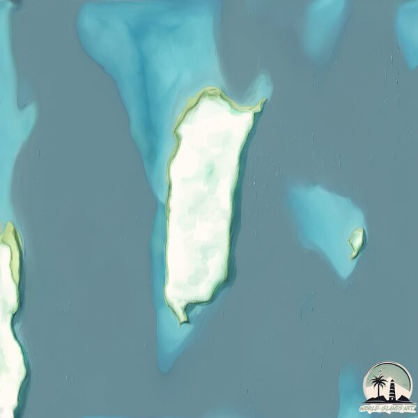
Geography and size of Mukawwar
Size: 30.6 km²
Coastline: 30.4 km
Ocean: Indian Ocean
Sea: Red Sea
Continent: Africa
Mukawwar is a Medium Island spanning 31 km² with a coastline of 30 km.
Archipel: –
Tectonic Plate: India – A major tectonic plate that initially moved northward at a rapid pace before colliding with the Eurasian Plate. This collision is responsible for the uplift of the Himalayas and the Tibetan Plateau.
The geographic heart of the island is pinpointed at these coordinates:
Latitude: 20.80496494 / Longitude: 37.26579198
Climate and weather of Mukawwar
Climate Zone: Dry
Climate Details: Hot Deserts Climate
Temperature: Hot
Climate Characteristics: Dominated by extremely hot temperatures, this climate is marked by minimal rainfall and barren landscapes. Nights often experience drastic temperature drops.
Topography and nature of Mukawwar
Timezone: UTC+03:00
Timezone places: Asia/Riyadh
Max. Elevation: 70 m
Mean Elevation: 25 m
Vegetation: Sparse Vegetation
Tree Coverage: 22%
The mean elevation is 25 m. The highest elevation on the island reaches approximately 70 meters above sea level. The island is characterized by Plains: Flat, low-lying lands characterized by a maximum elevation of up to 200 meters. On islands, plains are typically coastal lowlands or central flat areas.
Dominating Vegetation: Sparse Vegetation
These regions have limited plant growth, typically due to extreme conditions like aridity or poor soils. Vegetation is scattered and consists of hardy plant species. Mukawwar has a tree cover of 22 %.
Vegetation: 6 vegetation zones – Very Highly Diverse Island
Islands in this range are ecological powerhouses, showcasing a wide array of vegetation zones. Each zone, from lush rainforests to arid scrublands, coastal mangroves to mountainous regions, contributes to a complex and interdependent ecosystem. These islands are often hotspots of biodiversity, supporting numerous species and intricate ecological processes.
Infrastructure and Travelling to Mukawwar
Does the island have a public airport? no.
There is no public and scheduled airport on Mukawwar. The nearest airport is Port Sudan New International Airport, located 146 km away.
Does the island have a major port? no.
There are no major ports on Mukawwar. The closest major port is PORT SUDAN, approximately 127 km away.
The mean population of Mukawwar is 3 per km². Mukawwar is Gently Populated. The island belongs to Sudan.
Continuing your journey, Al Hasani is the next notable island, situated merely km away.
Sanganeb Marine National Park and Dungonab Bay – Mukkawar Island Marine National Park (Sudan) / TBS


Sudan is classified as Developing region: Regions characterized by lower income levels, with economies in the process of industrialization and modernization. The level of income is Lower middle income.
News – Latest Updates and Headlines from Mukawwar
Stay informed with the most recent news and important headlines from Mukawwar. Here’s a roundup of the latest developments.
Please note: The data used here has been primarily extracted from satellite readings. Deviations from exact values may occur, particularly regarding the height of elevations and population density. Land area and coastline measurements refer to average values at mean high tide.