Murdoch
Welcome to Murdoch, a Temperate island in the South Pacific Ocean, part of the majestic Pacific Ocean. This guide offers a comprehensive overview of what makes Murdoch unique – from its geography and climate to its population, infrastructure, and beyond. Dive into the details:
- Geography and Size: Explore the island’s size and location.
- Climate and Weather: Weather patterns and temperature.
- Topography and Nature: Uncover the natural wonders of the island.
- Infrastructure and Travelling: Insights on reaching, staying, and making the most of your visit.
- News and Headlines: Latest News.
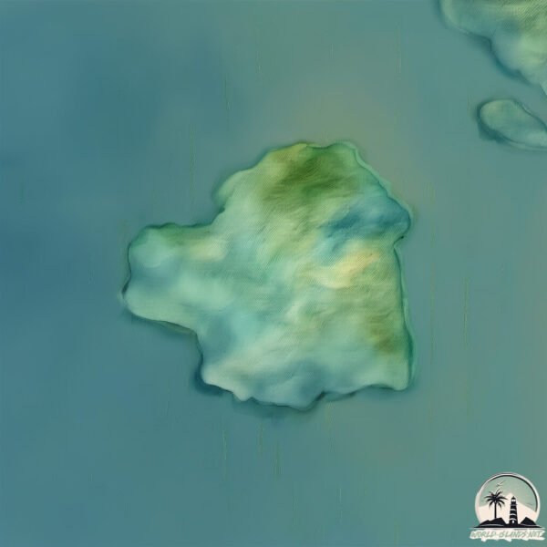
Geography and size of Murdoch
Size: 6.074 km²
Coastline: 12.7 km
Ocean: Pacific Ocean
Sea: South Pacific Ocean
Continent: South America
Murdoch is a Small Island spanning 6.1 km² with a coastline of 12.7 km.
Archipel: Cordillera Patagónica Insular – A series of islands in the Patagonian region, known for their dramatic landscapes and part of the Andean mountain range.
Tectonic Plate: South America – A major plate covering the South American continent and part of the Atlantic Ocean, known for the Andes mountain range and significant seismic and volcanic activity.
The geographic heart of the island is pinpointed at these coordinates:
Latitude: -48.47817352 / Longitude: -74.45476925
Climate and weather of Murdoch
Climate Zone: Temperate
Climate Details: Subpolar Oceanic Climate
Temperature: Cold Summer
Climate Characteristics: Predominantly cold with cool summers and no dry season. Often found in coastal areas at higher latitudes or on islands.
Topography and nature of Murdoch
Timezone: UTC-04:00
Timezone places: America/La_Paz
Max. Elevation: 547 m
Mean Elevation: 243 m
Vegetation: Evergreen Broadleaf Forest
Tree Coverage: 88%
The mean elevation is 243 m. The highest elevation on the island reaches approximately 547 meters above sea level. The island is characterized by Plateau: Elevated flatlands rising sharply above the surrounding area, with a maximum elevation over 500 meters but a mean elevation less than 300 meters, forming unique highland areas on islands.
Dominating Vegetation: Evergreen Broadleaf Forest
Characterized by dense, lush canopies of broadleaf trees that retain their leaves year-round. These forests are typically found in tropical and subtropical regions and are known for their high biodiversity. Murdoch has a tree cover of 88 %.
Vegetation: 5 vegetation zones – Highly Diverse Island
With five different vegetation zones, these islands offer a rich tapestry of ecosystems. The variety could include dense forests, open meadows, wetlands, coastal zones, and more. This level of diversity supports an intricate web of life, with each zone playing a vital role in the overall ecological health and balance of the island.
Infrastructure and Travelling to Murdoch
Does the island have a public airport? no.
There is no public and scheduled airport on Murdoch. The nearest airport is El Calafate – Commander Armando Tola International Airport, located 331 km away.
Does the island have a major port? no.
There are no major ports on Murdoch. The closest major port is PUERTO CHACABUCO, approximately 378 km away.
The mean population of Murdoch is 0 per km². Murdoch is Uninhabited. The island belongs to Chile.
Continuing your journey, Orlebar is the next notable island, situated merely km away.
The Murdaugh Mysteries | Full Episode


Chile is classified as Emerging region: G20: Group of Twenty – Major economies comprising both developed and emerging countries, representing the world’s largest economies. The level of income is Upper middle income.
News – Latest Updates and Headlines from Murdoch
Stay informed with the most recent news and important headlines from Murdoch. Here’s a roundup of the latest developments.
Please note: The data used here has been primarily extracted from satellite readings. Deviations from exact values may occur, particularly regarding the height of elevations and population density. Land area and coastline measurements refer to average values at mean high tide.