Naenaro-do
Welcome to Naenaro-do, a Temperate island in the Japan Sea, part of the majestic Pacific Ocean. This guide offers a comprehensive overview of what makes Naenaro-do unique – from its geography and climate to its population, infrastructure, and beyond. Dive into the details:
- Geography and Size: Explore the island’s size and location.
- Climate and Weather: Weather patterns and temperature.
- Topography and Nature: Uncover the natural wonders of the island.
- Infrastructure and Travelling: Insights on reaching, staying, and making the most of your visit.
- News and Headlines: Latest News.
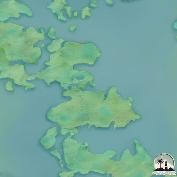
Geography and size of Naenaro-do
Size: 21.6 km²
Coastline: 44.9 km
Ocean: Pacific Ocean
Sea: Japan Sea
Continent: Asia
Naenaro-do is a Medium Island spanning 22 km² with a coastline of 45 km.
Archipel: –
Tectonic Plate: Eurasia – One of the world’s largest tectonic plates, the Eurasian Plate covers a significant portion of Europe and Asia. It’s characterized by diverse geological features, including the Ural Mountains, the European Plain, and the Himalayas formed from its collision with the Indian Plate.
The geographic heart of the island is pinpointed at these coordinates:
Latitude: 34.50851005 / Longitude: 127.46684367
Climate and weather of Naenaro-do
Climate Zone: Temperate
Climate Details: Humid Subtropical Climate
Temperature: Hot Summer
Climate Characteristics: With continuous rainfall and hot summers, this climate is common in some coastal regions, supporting diverse vegetation.
Topography and nature of Naenaro-do
Timezone: UTC+09:00
Timezone places: Asia/Tokyo
Max. Elevation: 146 m
Mean Elevation: 59 m
Vegetation: Open Woodland
Tree Coverage: 48%
The mean elevation is 59 m. The highest elevation on the island reaches approximately 146 meters above sea level. The island is characterized by Plains: Flat, low-lying lands characterized by a maximum elevation of up to 200 meters. On islands, plains are typically coastal lowlands or central flat areas.
Dominating Vegetation: Open Woodland
Characterized by sparsely distributed trees with open canopy allowing sunlight to penetrate, supporting grasses and shrubs underneath. Often found in drier or transitional environments. Naenaro-do has a tree cover of 48 %.
Vegetation: 12 vegetation zones – Exceptionally Diverse Island
Islands with more than ten vegetation zones are among the most ecologically rich and varied in the world. These islands are akin to miniature continents, boasting an incredible array of ecosystems. The sheer range of habitats, from high peaks to deep valleys, rainforests to deserts, creates a mosaic of life that is unparalleled. They are crucial for conservation and ecological studies.
Infrastructure and Travelling to Naenaro-do
Does the island have a public airport? no.
There is no public and scheduled airport on Naenaro-do. The nearest airport is Yeosu Airport, located 37 km away.
Does the island have a major port? no.
There are no major ports on Naenaro-do. The closest major port is YOSU, approximately 37 km away.
The mean population of Naenaro-do is 56 per km². Naenaro-do is Gently Populated. The island belongs to South Korea.
Continuing your journey, Oenarodo is the next notable island, situated merely km away.
고흥 나로도 ‘봉래초등학교’ 100주년 기념 촬영 / 포스코 고흥수련원 & 동일면 백양리 갯벌


South Korea is classified as Emerging region: MIKT: Mexico, Indonesia, South Korea, and Turkey – Economies recognized for their development potential and emerging market status. The level of income is High income: OECD.
News – Latest Updates and Headlines from Naenaro-do
Stay informed with the most recent news and important headlines from Naenaro-do. Here’s a roundup of the latest developments.
Please note: The data used here has been primarily extracted from satellite readings. Deviations from exact values may occur, particularly regarding the height of elevations and population density. Land area and coastline measurements refer to average values at mean high tide.