Nanhuangcheng Dao
Welcome to Nanhuangcheng Dao, a Continental island in the Yellow Sea, part of the majestic Pacific Ocean. This guide offers a comprehensive overview of what makes Nanhuangcheng Dao unique – from its geography and climate to its population, infrastructure, and beyond. Dive into the details:
- Geography and Size: Explore the island’s size and location.
- Climate and Weather: Weather patterns and temperature.
- Topography and Nature: Uncover the natural wonders of the island.
- Infrastructure and Travelling: Insights on reaching, staying, and making the most of your visit.
- News and Headlines: Latest News.
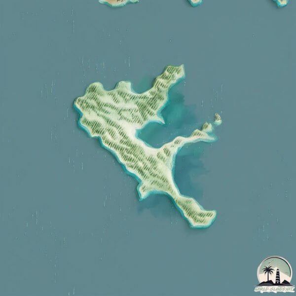
Geography and size of Nanhuangcheng Dao
Size: 1.944 km²
Coastline: 13.9 km
Ocean: Pacific Ocean
Sea: Yellow Sea
Continent: Asia
Nanhuangcheng Dao is a Small Island spanning 1.9 km² with a coastline of 13.9 km.
Archipel: –
Tectonic Plate: Eurasia – One of the world’s largest tectonic plates, the Eurasian Plate covers a significant portion of Europe and Asia. It’s characterized by diverse geological features, including the Ural Mountains, the European Plain, and the Himalayas formed from its collision with the Indian Plate.
The geographic heart of the island is pinpointed at these coordinates:
Latitude: 38.35985312 / Longitude: 120.90236647
Climate and weather of Nanhuangcheng Dao
Climate Zone: Continental
Climate Details: Monsoon-Influenced Hot-Summer Humid Continental Climate
Temperature: Hot Summer
Climate Characteristics: Hot summers with monsoon rains, contrasting with dry, cold winters. Typical of east Asian continental edges.
Topography and nature of Nanhuangcheng Dao
Timezone: UTC+08:00
Timezone places: Australia/Perth
Max. Elevation: 25 m
Mean Elevation: 14 m
Vegetation: Open Woodland
Tree Coverage: 94%
The mean elevation is 14 m. The highest elevation on the island reaches approximately 25 meters above sea level. The island is characterized by Plains: Flat, low-lying lands characterized by a maximum elevation of up to 200 meters. On islands, plains are typically coastal lowlands or central flat areas.
Dominating Vegetation: Open Woodland
Characterized by sparsely distributed trees with open canopy allowing sunlight to penetrate, supporting grasses and shrubs underneath. Often found in drier or transitional environments. Nanhuangcheng Dao has a tree cover of 94 %.
Vegetation: 4 vegetation zones – Diverse Island
Four distinct vegetation zones mark these islands as ecologically diverse. They might feature varied landscapes such as forests, beaches, grasslands, and rocky areas. Such diversity reflects the island’s complex ecological interactions and varied habitats, which can support a rich array of wildlife and plant species.
Infrastructure and Travelling to Nanhuangcheng Dao
Does the island have a public airport? no.
There is no public and scheduled airport on Nanhuangcheng Dao. The nearest airport is Yantai Penglai International Airport, located 77 km away.
Does the island have a major port? no.
There are no major ports on Nanhuangcheng Dao. The closest major port is PENGLAI, approximately 59 km away.
The mean population of Nanhuangcheng Dao is 529 per km². Nanhuangcheng Dao is Densely Populated. The island belongs to China.
Continuing your journey, Nanchangshan Dao is the next notable island, situated merely km away.
和五吨大炮守卫海岛14年是啥感觉?中国领海基点,驻守荒岛27年又有何感想?守卫海疆国门,心中最美的风景是祖国和人民!直击解放军南隍城岛、朝连岛、长岛边防官兵训练和生活/PLA/Island Guard
China is classified as Emerging region: BRIC: Brazil, Russia, India, and China – Economies noted for their rapid growth and increasing influence on global affairs. The level of income is Upper middle income.
News – Latest Updates and Headlines from Nanhuangcheng Dao
Stay informed with the most recent news and important headlines from Nanhuangcheng Dao. Here’s a roundup of the latest developments.
Please note: The data used here has been primarily extracted from satellite readings. Deviations from exact values may occur, particularly regarding the height of elevations and population density. Land area and coastline measurements refer to average values at mean high tide.