Nisída Glarómpi
Welcome to Nisída Glarómpi, a Temperate island in the Aegean Sea, part of the majestic Atlantic Ocean. This guide offers a comprehensive overview of what makes Nisída Glarómpi unique – from its geography and climate to its population, infrastructure, and beyond. Dive into the details:
- Geography and Size: Explore the island’s size and location.
- Climate and Weather: Weather patterns and temperature.
- Topography and Nature: Uncover the natural wonders of the island.
- Infrastructure and Travelling: Insights on reaching, staying, and making the most of your visit.
- News and Headlines: Latest News.
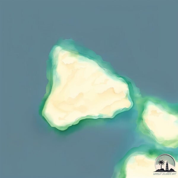
Geography and size of Nisída Glarómpi
Size: 0.243 km²
Coastline: 2 km
Ocean: Atlantic Ocean
Sea: Aegean Sea
Continent: Europe
Nisída Glarómpi is a Tiny Island spanning 0.243 km² with a coastline of 2 km.
Archipel: Cyclades – A group of islands in the Aegean Sea, part of Greece, known for their iconic white-washed architecture, beautiful beaches, and rich history.
Tectonic Plate: Aegean Sea – Located in the eastern Mediterranean, this microplate is characterized by seismic and volcanic activity due to its interaction with the Eurasian and African Plates.
The geographic heart of the island is pinpointed at these coordinates:
Latitude: 36.9792495 / Longitude: 25.10986474
Climate and weather of Nisída Glarómpi
Climate Zone: Temperate
Climate Details: Hot-Summer Mediterranean Climate
Temperature: Hot Summer
Climate Characteristics: Characterized by hot, dry summers and mild, wet winters, typical of coastal areas with abundant sunshine.
Topography and nature of Nisída Glarómpi
Timezone: UTC+02:00
Timezone places: Europe/Mariehamn
Max. Elevation: -1 m
Mean Elevation: -4 m
Vegetation: Sparse Vegetation
Tree Coverage: 2%
The mean elevation is -4 m. Remarkably, this unique island barely emerges above the sea level, showcasing nature’s fascinating interplay with the ocean. The island is characterized by Plains: Flat, low-lying lands characterized by a maximum elevation of up to 200 meters. On islands, plains are typically coastal lowlands or central flat areas.
Dominating Vegetation: Sparse Vegetation
These regions have limited plant growth, typically due to extreme conditions like aridity or poor soils. Vegetation is scattered and consists of hardy plant species. Nisída Glarómpi has a tree cover of 2 %.
Vegetation: 1 vegetation zones – Minimal Diversity Island
These islands exhibit the most basic level of ecological diversity, often characterized by a single dominant vegetation type. This could be due to extreme environmental conditions, limited land area, or significant human impact. They represent unique ecosystems where specific species have adapted to thrive in these singular environments.
Infrastructure and Travelling to Nisída Glarómpi
Does the island have a public airport? no.
There is no public and scheduled airport on Nisída Glarómpi. The nearest airport is Paros National Airport, located 4 km away.
Does the island have a major port? no.
There are no major ports on Nisída Glarómpi. The closest major port is NISOS NAXOS, approximately 31 km away.
The mean population of Nisída Glarómpi is 34 per km². Nisída Glarómpi is Gently Populated. The island belongs to Greece.
Continuing your journey, Nisí Antíparos is the next notable island, situated merely km away.
Greece is classified as Developed region: nonG7: Developed economies outside of the Group of Seven, characterized by high income and advanced economic structures. The level of income is High income: OECD.
News – Latest Updates and Headlines from Nisída Glarómpi
Stay informed with the most recent news and important headlines from Nisída Glarómpi. Here’s a roundup of the latest developments.
Please note: The data used here has been primarily extracted from satellite readings. Deviations from exact values may occur, particularly regarding the height of elevations and population density. Land area and coastline measurements refer to average values at mean high tide.