Nisída Venétiko
Welcome to Nisída Venétiko, a Temperate island in the Ionian Sea, part of the majestic Atlantic Ocean. This guide offers a comprehensive overview of what makes Nisída Venétiko unique – from its geography and climate to its population, infrastructure, and beyond. Dive into the details:
- Geography and Size: Explore the island’s size and location.
- Climate and Weather: Weather patterns and temperature.
- Topography and Nature: Uncover the natural wonders of the island.
- Infrastructure and Travelling: Insights on reaching, staying, and making the most of your visit.
- News and Headlines: Latest News.
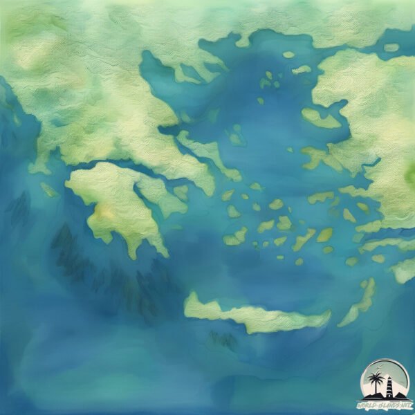
Geography and size of Nisída Venétiko
Size: 0.969 km²
Coastline: 5.1 km
Ocean: Atlantic Ocean
Sea: Ionian Sea
Continent: Europe
Nisída Venétiko is a Tiny Island spanning 0.969 km² with a coastline of 5.1 km.
Archipel: Cyclades – A group of islands in the Aegean Sea, part of Greece, known for their iconic white-washed architecture, beautiful beaches, and rich history.
Tectonic Plate: Aegean Sea – Located in the eastern Mediterranean, this microplate is characterized by seismic and volcanic activity due to its interaction with the Eurasian and African Plates.
The geographic heart of the island is pinpointed at these coordinates:
Latitude: 36.75421733 / Longitude: 22.43146507
Climate and weather of Nisída Venétiko
Climate Zone: Temperate
Climate Details: Hot-Summer Mediterranean Climate
Temperature: Hot Summer
Climate Characteristics: Characterized by hot, dry summers and mild, wet winters, typical of coastal areas with abundant sunshine.
Topography and nature of Nisída Venétiko
Timezone: UTC+02:00
Timezone places: Europe/Mariehamn
Max. Elevation: 91 m
Mean Elevation: 46 m
Vegetation: Evergreen Needleleaf Forest
Tree Coverage: 44%
The mean elevation is 46 m. The highest elevation on the island reaches approximately 91 meters above sea level. The island is characterized by Plains: Flat, low-lying lands characterized by a maximum elevation of up to 200 meters. On islands, plains are typically coastal lowlands or central flat areas.
Dominating Vegetation: Evergreen Needleleaf Forest
Dominated by evergreen coniferous trees such as pines and firs, which retain their needle-like leaves throughout the year. These forests are often found in cooler climates. Nisída Venétiko has a tree cover of 44 %.
Vegetation: 3 vegetation zones – Moderately Diverse Island
These islands start to show a broader range of ecological niches. With three vegetation zones, they may offer a mix of ecosystems like coastal areas, inland woods, and perhaps a distinct wetland or dry area. This diversity supports a wider range of flora and fauna, making these islands more ecologically complex than those with minimal diversity.
Infrastructure and Travelling to Nisída Venétiko
Does the island have a public airport? no.
There is no public and scheduled airport on Nisída Venétiko. The nearest airport is Chios Island National Airport, located 28 km away.
Does the island have a major port? no.
There are no major ports on Nisída Venétiko. The closest major port is KHIOS, approximately 30 km away.
The mean population of Nisída Venétiko is 22 per km². Nisída Venétiko is Gently Populated. The island belongs to Greece.
Continuing your journey, Nisí Irákleia is the next notable island, situated merely km away.
Venetiko Adası


Greece is classified as Developed region: nonG7: Developed economies outside of the Group of Seven, characterized by high income and advanced economic structures. The level of income is High income: OECD.
News – Latest Updates and Headlines from Nisída Venétiko
Stay informed with the most recent news and important headlines from Nisída Venétiko. Here’s a roundup of the latest developments.
Please note: The data used here has been primarily extracted from satellite readings. Deviations from exact values may occur, particularly regarding the height of elevations and population density. Land area and coastline measurements refer to average values at mean high tide.