Nísos Póros
Welcome to Nísos Póros, a Temperate island in the Aegean Sea, part of the majestic Atlantic Ocean. This guide offers a comprehensive overview of what makes Nísos Póros unique – from its geography and climate to its population, infrastructure, and beyond. Dive into the details:
- Geography and Size: Explore the island’s size and location.
- Climate and Weather: Weather patterns and temperature.
- Topography and Nature: Uncover the natural wonders of the island.
- Infrastructure and Travelling: Insights on reaching, staying, and making the most of your visit.
- News and Headlines: Latest News.
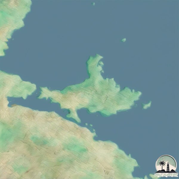
Geography and size of Nísos Póros
Size: 23 km²
Coastline: 42 km
Ocean: Atlantic Ocean
Sea: Aegean Sea
Continent: Europe
Nísos Póros is a Medium Island spanning 23 km² with a coastline of 42 km.
Archipel: –
Tectonic Plate: Aegean Sea – Located in the eastern Mediterranean, this microplate is characterized by seismic and volcanic activity due to its interaction with the Eurasian and African Plates.
The geographic heart of the island is pinpointed at these coordinates:
Latitude: 37.52091646 / Longitude: 23.47707071
Climate and weather of Nísos Póros
Climate Zone: Temperate
Climate Details: Hot-Summer Mediterranean Climate
Temperature: Hot Summer
Climate Characteristics: Characterized by hot, dry summers and mild, wet winters, typical of coastal areas with abundant sunshine.
Topography and nature of Nísos Póros
Timezone: UTC+02:00
Timezone places: Europe/Mariehamn
Max. Elevation: 239 m
Mean Elevation: 104 m
Vegetation: Evergreen Needleleaf Forest
Tree Coverage: 49%
The mean elevation is 104 m. The highest elevation on the island reaches approximately 239 meters above sea level. The island is characterized by Hills: Gently sloping landforms with rounded tops, having a maximum elevation between 200 and 500 meters. Hills contribute to a varied landscape on islands.
Dominating Vegetation: Evergreen Needleleaf Forest
Dominated by evergreen coniferous trees such as pines and firs, which retain their needle-like leaves throughout the year. These forests are often found in cooler climates. Nísos Póros has a tree cover of 49 %.
Vegetation: 11 vegetation zones – Exceptionally Diverse Island
Islands with more than ten vegetation zones are among the most ecologically rich and varied in the world. These islands are akin to miniature continents, boasting an incredible array of ecosystems. The sheer range of habitats, from high peaks to deep valleys, rainforests to deserts, creates a mosaic of life that is unparalleled. They are crucial for conservation and ecological studies.
Infrastructure and Travelling to Nísos Póros
Does the island have a public airport? no.
There is no public and scheduled airport on Nísos Póros. The nearest airport is Athens Eleftherios Venizelos International Airport, located 65 km away.
Does the island have a major port? no.
There are no major ports on Nísos Póros. The closest major port is SPETSES, approximately 40 km away.
The mean population of Nísos Póros is 78 per km². Nísos Póros is Gently Populated. The island belongs to Greece.
The name of the island resonates across different cultures and languages. Here is how it is known around the world: Arabic: بيلوبونيز; German: Peloponnes; Spanish: Peloponeso; French: Péloponnèse; Portuguese: Peloponeso; Russian: Пелопоннес; Chinese: 伯罗奔尼撒
Continuing your journey, Idra is the next notable island, situated merely km away.
The BIG Poros Greece Travel Guide 2025


Greece is classified as Developed region: nonG7: Developed economies outside of the Group of Seven, characterized by high income and advanced economic structures. The level of income is High income: OECD.
News – Latest Updates and Headlines from Nísos Póros
Stay informed with the most recent news and important headlines from Nísos Póros. Here’s a roundup of the latest developments.
Please note: The data used here has been primarily extracted from satellite readings. Deviations from exact values may occur, particularly regarding the height of elevations and population density. Land area and coastline measurements refer to average values at mean high tide.