North Island
Welcome to North Island, a Temperate island in the Tasman Sea, part of the majestic Pacific Ocean. This guide offers a comprehensive overview of what makes North Island unique – from its geography and climate to its population, infrastructure, and beyond. Dive into the details:
- Geography and Size: Explore the island’s size and location.
- Climate and Weather: Weather patterns and temperature.
- Topography and Nature: Uncover the natural wonders of the island.
- Infrastructure and Travelling: Insights on reaching, staying, and making the most of your visit.
- News and Headlines: Latest News.
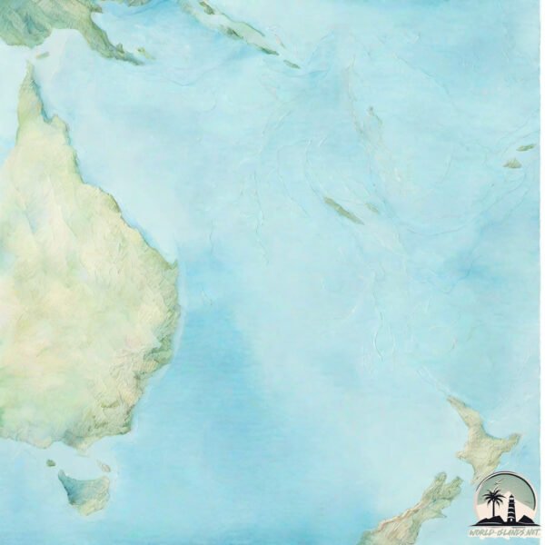
Geography and size of North Island
Size: 114573 km²
Coastline: 7835 km
Ocean: Pacific Ocean
Sea: Tasman Sea
Continent: Oceania
North Island is a Colossal Island spanning 114573 km² with a coastline of 7835 km.
Archipel: Polynesia – A region of more than 1,000 islands in the central and southern Pacific Ocean, known for their diverse Polynesian cultures, stunning landscapes, and marine biodiversity.
Tectonic Plate: Australia – A major tectonic plate covering Australia, New Zealand, and parts of the Indian and Pacific Oceans, known for its relative stability and occasional seismic activity.
The geographic heart of the island is pinpointed at these coordinates:
Latitude: -38.55952811 / Longitude: 175.70326248
Climate and weather of North Island
Climate Zone: Temperate
Climate Details: Temperate Oceanic Climate
Temperature: Warm Summer
Climate Characteristics: Known for its moderate year-round temperatures with ample rainfall and no dry season. Warm summers are characteristic.
Topography and nature of North Island
Timezone: UTC+12:00
Timezone places: Pacific/Auckland
Max. Elevation: 2797 m Ruapehu
Mean Elevation: 314 m
Vegetation: Evergreen Broadleaf Forest
Tree Coverage: 49%
The mean elevation is 314 m. Dominating the island’s landscape, the majestic “Ruapehu” rises as the highest peak, soaring to impressive heights. The island is characterized by Mountains: High, steeply elevated landforms. Characterized by both a high maximum elevation (over 500 meters) and a high mean elevation, creating rugged, mountainous terrains on islands.
Dominating Vegetation: Evergreen Broadleaf Forest
Characterized by dense, lush canopies of broadleaf trees that retain their leaves year-round. These forests are typically found in tropical and subtropical regions and are known for their high biodiversity. North Island has a tree cover of 49 %.
Vegetation: 16 vegetation zones – Exceptionally Diverse Island
Islands with more than ten vegetation zones are among the most ecologically rich and varied in the world. These islands are akin to miniature continents, boasting an incredible array of ecosystems. The sheer range of habitats, from high peaks to deep valleys, rainforests to deserts, creates a mosaic of life that is unparalleled. They are crucial for conservation and ecological studies.
Infrastructure and Travelling to North Island
Does the island have a public airport? yes.
North Island has a public and scheduled airport. The following airports are located on this island: Auckland International Airport, Taupo Airport, Gisborne Airport, Hamilton International Airport, Kerikeri Airport, Kaitaia Airport, New Plymouth Airport, Hawke’s Bay Airport, Otaki Airport, Palmerston North Airport, Rotorua Regional Airport, Tauranga Airport, Whakatane Airport, Wellington International Airport, Whangarei Airport, Wanganui Airport.
Does the island have a major port? yes.
North Island is home to a major port. The following ports are situated on the island: WHANGAROA, OPUA, AUCKLAND, GISBORNE, NAPIER, WANGANUI, NEW PLYMOUTH, MANUKAU HARBOR.
The mean population of North Island is 33 per km². North Island is Gently Populated. The island belongs to New Zealand.
The name of the island resonates across different cultures and languages. Here is how it is known around the world: Arabic: الجزيرة الشمالية; German: Nordinsel; Spanish: Isla Norte; French: Île du Nord; Portuguese: Ilha Norte; Russian: Северный остров; Chinese: 北島
Continuing your journey, Kawau is the next notable island, situated merely km away.
NORTH ISLAND, NEW ZEALAND (2025) | 13 Beautiful Places to Visit on a North Island Road Trip (+ Tips)


New Zealand is classified as Developed region: G7: Group of Seven – Major advanced economies, including Canada, France, Germany, Italy, Japan, the United Kingdom, and the United States. The level of income is High income: OECD.
News – Latest Updates and Headlines from North Island
Stay informed with the most recent news and important headlines from North Island. Here’s a roundup of the latest developments.
Social Media Posts about North Island
Please note: The data used here has been primarily extracted from satellite readings. Deviations from exact values may occur, particularly regarding the height of elevations and population density. Land area and coastline measurements refer to average values at mean high tide.