O Shima
Welcome to O Shima, a Continental island in the Japan Sea, part of the majestic Pacific Ocean. This guide offers a comprehensive overview of what makes O Shima unique – from its geography and climate to its population, infrastructure, and beyond. Dive into the details:
- Geography and Size: Explore the island’s size and location.
- Climate and Weather: Weather patterns and temperature.
- Topography and Nature: Uncover the natural wonders of the island.
- Infrastructure and Travelling: Insights on reaching, staying, and making the most of your visit.
- News and Headlines: Latest News.
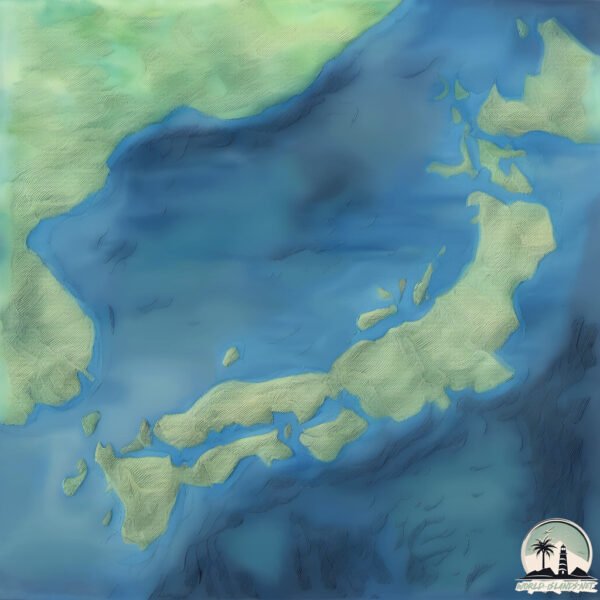
Geography and size of O Shima
Size: 9.343 km²
Coastline: 16.2 km
Ocean: Pacific Ocean
Sea: Japan Sea
Continent: Asia
O Shima is a Small Island spanning 9.3 km² with a coastline of 16.2 km.
Archipel: Japan – An East Asian archipelago comprising four main islands and numerous smaller ones, known for its rich history, technological advances, and distinct culture.
Tectonic Plate: Amur – A minor tectonic plate in the region of the Amur River at the border of Russia and China, involved in complex interactions with the Pacific and Eurasian plates.
The geographic heart of the island is pinpointed at these coordinates:
Latitude: 40.67755485 / Longitude: 138.39968028
Climate and weather of O Shima
Climate Zone: Continental
Climate Details: Warm-Summer Humid Continental Climate
Temperature: Warm Summer
Climate Characteristics: Features warm summers and cold winters with consistent precipitation, common in higher latitudes.
Topography and nature of O Shima
Timezone: UTC+09:00
Timezone places: Asia/Tokyo
Max. Elevation: 578 m
Mean Elevation: 256 m
Vegetation: Deciduous Broadleaf Forest
Tree Coverage: 57%
The mean elevation is 256 m. The highest elevation on the island reaches approximately 578 meters above sea level. The island is characterized by Plateau: Elevated flatlands rising sharply above the surrounding area, with a maximum elevation over 500 meters but a mean elevation less than 300 meters, forming unique highland areas on islands.
Dominating Vegetation: Deciduous Broadleaf Forest
Composed of broadleaf trees that shed their leaves seasonally. These forests are commonly found in temperate zones and experience distinct seasonal changes. O Shima has a tree cover of 57 %.
Vegetation: 7 vegetation zones – Very Highly Diverse Island
Islands in this range are ecological powerhouses, showcasing a wide array of vegetation zones. Each zone, from lush rainforests to arid scrublands, coastal mangroves to mountainous regions, contributes to a complex and interdependent ecosystem. These islands are often hotspots of biodiversity, supporting numerous species and intricate ecological processes.
Infrastructure and Travelling to O Shima
Does the island have a public airport? no.
There is no public and scheduled airport on O Shima. The nearest airport is Kitakyushu Airport, located 38 km away.
Does the island have a major port? no.
There are no major ports on O Shima. The closest major port is HAGI KO, approximately 11 km away.
The mean population of O Shima is 152 per km². O Shima is Moderately Inhabited. The island belongs to Japan.
Continuing your journey, Okushiri is the next notable island, situated merely km away.
Visiting Tokyo's Mysterious Volcanic Island | Izu Oshima | Japan Travel


Japan is classified as Developed region: G7: Group of Seven – Major advanced economies, including Canada, France, Germany, Italy, Japan, the United Kingdom, and the United States. The level of income is High income: OECD.
News – Latest Updates and Headlines from O Shima
Stay informed with the most recent news and important headlines from O Shima. Here’s a roundup of the latest developments.
Please note: The data used here has been primarily extracted from satellite readings. Deviations from exact values may occur, particularly regarding the height of elevations and population density. Land area and coastline measurements refer to average values at mean high tide.