Ostrov Olenevskiy
Welcome to Ostrov Olenevskiy, a Continental island in the White Sea, part of the majestic Arctic Ocean. This guide offers a comprehensive overview of what makes Ostrov Olenevskiy unique – from its geography and climate to its population, infrastructure, and beyond. Dive into the details:
- Geography and Size: Explore the island’s size and location.
- Climate and Weather: Weather patterns and temperature.
- Topography and Nature: Uncover the natural wonders of the island.
- Infrastructure and Travelling: Insights on reaching, staying, and making the most of your visit.
- News and Headlines: Latest News.
Geography and size of Ostrov Olenevskiy
Size: 6.636 km²
Coastline: 22.8 km
Ocean: Arctic Ocean
Sea: White Sea
Continent: Europe
Ostrov Olenevskiy is a Small Island spanning 6.6 km² with a coastline of 22.8 km.
Archipel: –
Tectonic Plate: Eurasia – One of the world’s largest tectonic plates, the Eurasian Plate covers a significant portion of Europe and Asia. It’s characterized by diverse geological features, including the Ural Mountains, the European Plain, and the Himalayas formed from its collision with the Indian Plate.
The geographic heart of the island is pinpointed at these coordinates:
Latitude: 66.5163938 / Longitude: 33.07644952
Climate and weather of Ostrov Olenevskiy
Climate Zone: Continental
Climate Details: Subarctic Climate
Temperature: Cold Summer
Climate Characteristics: Characterized by long, extremely cold winters and short, cool summers, often found in northern latitudes of North America and Eurasia.
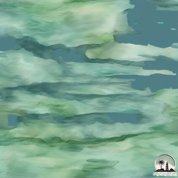
Topography and nature of Ostrov Olenevskiy
Timezone: UTC+04:00
Timezone places: Europe/Moscow
Max. Elevation: 45 m
Mean Elevation: 33 m
Vegetation: Evergreen Needleleaf Forest
Tree Coverage: 83%
The mean elevation is 33 m. The highest elevation on the island reaches approximately 45 meters above sea level. The island is characterized by Plains: Flat, low-lying lands characterized by a maximum elevation of up to 200 meters. On islands, plains are typically coastal lowlands or central flat areas.
Dominating Vegetation: Evergreen Needleleaf Forest
Dominated by evergreen coniferous trees such as pines and firs, which retain their needle-like leaves throughout the year. These forests are often found in cooler climates. Ostrov Olenevskiy has a tree cover of 83 %.
Vegetation: 6 vegetation zones – Very Highly Diverse Island
Islands in this range are ecological powerhouses, showcasing a wide array of vegetation zones. Each zone, from lush rainforests to arid scrublands, coastal mangroves to mountainous regions, contributes to a complex and interdependent ecosystem. These islands are often hotspots of biodiversity, supporting numerous species and intricate ecological processes.
Infrastructure and Travelling to Ostrov Olenevskiy
Does the island have a public airport? no.
There is no public and scheduled airport on Ostrov Olenevskiy. The nearest airport is Murmansk Airport, located 253 km away.
Does the island have a major port? no.
There are no major ports on Ostrov Olenevskiy. The closest major port is KANDALAKSHA, approximately 95 km away.
The mean population of Ostrov Olenevskiy is 1 per km². Ostrov Olenevskiy is Uninhabited. The island belongs to Russia.
Continuing your journey, Ostrov Keret is the next notable island, situated merely km away.
Ostrov (The Island) Movie Review


Russia is classified as Emerging region: BRIC: Brazil, Russia, India, and China – Economies noted for their rapid growth and increasing influence on global affairs. The level of income is Upper middle income.
News – Latest Updates and Headlines from Ostrov Olenevskiy
Stay informed with the most recent news and important headlines from Ostrov Olenevskiy. Here’s a roundup of the latest developments.
Please note: The data used here has been primarily extracted from satellite readings. Deviations from exact values may occur, particularly regarding the height of elevations and population density. Land area and coastline measurements refer to average values at mean high tide.