Ostrov Raykoke
Welcome to Ostrov Raykoke, a Polar island in the Sea of Okhotsk, part of the majestic Pacific Ocean. This guide offers a comprehensive overview of what makes Ostrov Raykoke unique – from its geography and climate to its population, infrastructure, and beyond. Dive into the details:
- Geography and Size: Explore the island’s size and location.
- Climate and Weather: Weather patterns and temperature.
- Topography and Nature: Uncover the natural wonders of the island.
- Infrastructure and Travelling: Insights on reaching, staying, and making the most of your visit.
- News and Headlines: Latest News.
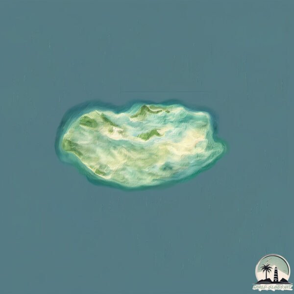
Geography and size of Ostrov Raykoke
Size: 3.967 km²
Coastline: 11.1 km
Ocean: Pacific Ocean
Sea: Sea of Okhotsk
Continent: Asia
Ostrov Raykoke is a Small Island spanning 4 km² with a coastline of 11.1 km.
Archipel: Kuril Islands – A volcanic archipelago stretching from Japan to Russia, known for their rugged landscapes and abundant marine life.
Tectonic Plate: Okhotsk – Located in the northwest Pacific Ocean, the Okhotsk Plate encompasses the Sea of Okhotsk, the Kamchatka Peninsula, and parts of Japan. It’s involved in complex interactions with the Pacific and North American plates, contributing to seismic activity in the region.
The geographic heart of the island is pinpointed at these coordinates:
Latitude: 48.29147132 / Longitude: 153.25180291
Climate and weather of Ostrov Raykoke
Climate Zone: Polar
Climate Details: Tundra
Temperature: Cold
Climate Characteristics: The tundra climate features long, extremely cold winters and short, cool summers. Vegetation is limited to mosses, lichens, and small shrubs due to the low temperatures and short growing seasons. Biodiversity is low, but some specialized species thrive.
Topography and nature of Ostrov Raykoke
Timezone: UTC+11:00
Timezone places: Asia/Vladivostok
Max. Elevation: 294 m
Mean Elevation: 194 m
Vegetation: Sparse Vegetation
Tree Coverage: 54%
The mean elevation is 194 m. The highest elevation on the island reaches approximately 294 meters above sea level. The island is characterized by Hills: Gently sloping landforms with rounded tops, having a maximum elevation between 200 and 500 meters. Hills contribute to a varied landscape on islands.
Dominating Vegetation: Sparse Vegetation
These regions have limited plant growth, typically due to extreme conditions like aridity or poor soils. Vegetation is scattered and consists of hardy plant species. Ostrov Raykoke has a tree cover of 54 %.
Vegetation: 5 vegetation zones – Highly Diverse Island
With five different vegetation zones, these islands offer a rich tapestry of ecosystems. The variety could include dense forests, open meadows, wetlands, coastal zones, and more. This level of diversity supports an intricate web of life, with each zone playing a vital role in the overall ecological health and balance of the island.
Infrastructure and Travelling to Ostrov Raykoke
Does the island have a public airport? no.
There is no public and scheduled airport on Ostrov Raykoke. The nearest airport is Iturup Airport, located 677 km away.
Does the island have a major port? no.
There are no major ports on Ostrov Raykoke. The closest major port is PETROPAVLOVSK, approximately 798 km away.
The mean population of Ostrov Raykoke is 1 per km². Ostrov Raykoke is Uninhabited. The island belongs to Russia.
Continuing your journey, Ostrov Matua is the next notable island, situated merely km away.
Raykoke Island. Hours After.


Russia is classified as Emerging region: BRIC: Brazil, Russia, India, and China – Economies noted for their rapid growth and increasing influence on global affairs. The level of income is Upper middle income.
News – Latest Updates and Headlines from Ostrov Raykoke
Stay informed with the most recent news and important headlines from Ostrov Raykoke. Here’s a roundup of the latest developments.
Please note: The data used here has been primarily extracted from satellite readings. Deviations from exact values may occur, particularly regarding the height of elevations and population density. Land area and coastline measurements refer to average values at mean high tide.