Pānikota Island
Welcome to Pānikota Island, a Tropical island in the Arabian Sea, part of the majestic Indian Ocean. This guide offers a comprehensive overview of what makes Pānikota Island unique – from its geography and climate to its population, infrastructure, and beyond. Dive into the details:
- Geography and Size: Explore the island’s size and location.
- Climate and Weather: Weather patterns and temperature.
- Topography and Nature: Uncover the natural wonders of the island.
- Infrastructure and Travelling: Insights on reaching, staying, and making the most of your visit.
- News and Headlines: Latest News.
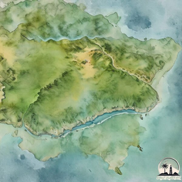
Geography and size of Pānikota Island
Size: 0.101 km²
Coastline: 1.3 km
Ocean: Indian Ocean
Sea: Arabian Sea
Continent: Asia
Pānikota Island is a Tiny Island spanning 0.101 km² with a coastline of 1.3 km.
Archipel: –
Tectonic Plate: India – A major tectonic plate that initially moved northward at a rapid pace before colliding with the Eurasian Plate. This collision is responsible for the uplift of the Himalayas and the Tibetan Plateau.
The geographic heart of the island is pinpointed at these coordinates:
Latitude: 20.76044966 / Longitude: 71.15233417
Climate and weather of Pānikota Island
Climate Zone: Tropical
Climate Details: Tropical Savanna, Wet
Temperature: Hot
Climate Characteristics: Defined by distinct wet and dry seasons with high temperatures year-round. Pronounced rainfall occurs during the wet season, while the dry season is marked by drought.
Topography and nature of Pānikota Island
Timezone: UTC+05:30
Timezone places: Asia/Kolkata
Max. Elevation: -2 m
Mean Elevation: -2 m
Vegetation: Sparse Vegetation
Tree Coverage: 1%
The mean elevation is -2 m. Remarkably, this unique island barely emerges above the sea level, showcasing nature’s fascinating interplay with the ocean. The island is characterized by Plains: Flat, low-lying lands characterized by a maximum elevation of up to 200 meters. On islands, plains are typically coastal lowlands or central flat areas.
Dominating Vegetation: Sparse Vegetation
These regions have limited plant growth, typically due to extreme conditions like aridity or poor soils. Vegetation is scattered and consists of hardy plant species. Pānikota Island has a tree cover of 1 %.
Vegetation: 1 vegetation zones – Minimal Diversity Island
These islands exhibit the most basic level of ecological diversity, often characterized by a single dominant vegetation type. This could be due to extreme environmental conditions, limited land area, or significant human impact. They represent unique ecosystems where specific species have adapted to thrive in these singular environments.
Infrastructure and Travelling to Pānikota Island
Does the island have a public airport? no.
There is no public and scheduled airport on Pānikota Island. The nearest airport is Diu Airport, located 26 km away.
Does the island have a major port? no.
There are no major ports on Pānikota Island. The closest major port is PIPAVAV BANDAR, approximately 44 km away.
The mean population of Pānikota Island is 289 per km². Pānikota Island is Moderately Inhabited. The island belongs to India.
Continuing your journey, Hazira is the next notable island, situated merely km away.
Total Drama Pahkitew Island | Full Season All Episodes LIVE 24/7


India is classified as Emerging region: BRIC: Brazil, Russia, India, and China – Economies noted for their rapid growth and increasing influence on global affairs. The level of income is Lower middle income.
News – Latest Updates and Headlines from Pānikota Island
Stay informed with the most recent news and important headlines from Pānikota Island. Here’s a roundup of the latest developments.
Please note: The data used here has been primarily extracted from satellite readings. Deviations from exact values may occur, particularly regarding the height of elevations and population density. Land area and coastline measurements refer to average values at mean high tide.