Pulau Anyar
Welcome to Pulau Anyar, a Tropical island in the South China Sea, part of the majestic Pacific Ocean. This guide offers a comprehensive overview of what makes Pulau Anyar unique – from its geography and climate to its population, infrastructure, and beyond. Dive into the details:
- Geography and Size: Explore the island’s size and location.
- Climate and Weather: Weather patterns and temperature.
- Topography and Nature: Uncover the natural wonders of the island.
- Infrastructure and Travelling: Insights on reaching, staying, and making the most of your visit.
- News and Headlines: Latest News.
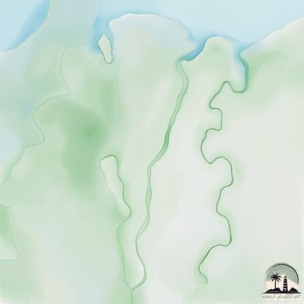
Geography and size of Pulau Anyar
Size: 262.7 km²
Coastline: 109.1 km
Ocean: Pacific Ocean
Sea: South China Sea
Continent: Asia
Pulau Anyar is a Large Island spanning 263 km² with a coastline of 109 km.
Archipel: Greater Sunda Islands – A group of large islands in Southeast Asia, including Borneo, Sumatra, Java, and Sulawesi, known for their rich biodiversity and cultural diversity.
Tectonic Plate: North Bismarck – Located north of New Guinea, it’s involved in complex tectonic interactions with the Pacific and South Bismarck plates, contributing to seismic activity in the region.
The geographic heart of the island is pinpointed at these coordinates:
Latitude: -2.4615791 / Longitude: 104.97524383
Climate and weather of Pulau Anyar
Climate Zone: Tropical
Climate Details: Tropical Rainforest Climate
Temperature: Hot
Climate Characteristics: This climate is typified by heavy rainfall throughout the year, high humidity, and consistently high temperatures, leading to lush rainforests and rich biodiversity. Seasonal temperature variations are minimal.
Topography and nature of Pulau Anyar
Timezone: UTC+07:00
Timezone places: Asia/Jakarta
Max. Elevation: 18 m
Mean Elevation: 6 m
Vegetation: Wetland
Tree Coverage: 37%
The mean elevation is 6 m. The highest elevation on the island reaches approximately 18 meters above sea level. The island is characterized by Plains: Flat, low-lying lands characterized by a maximum elevation of up to 200 meters. On islands, plains are typically coastal lowlands or central flat areas.
Dominating Vegetation: Wetland
These areas are saturated with water, either permanently or seasonally, and support aquatic plants. Wetlands are important for biodiversity and water filtration. Pulau Anyar has a tree cover of 37 %.
Vegetation: 13 vegetation zones – Exceptionally Diverse Island
Islands with more than ten vegetation zones are among the most ecologically rich and varied in the world. These islands are akin to miniature continents, boasting an incredible array of ecosystems. The sheer range of habitats, from high peaks to deep valleys, rainforests to deserts, creates a mosaic of life that is unparalleled. They are crucial for conservation and ecological studies.
Infrastructure and Travelling to Pulau Anyar
Does the island have a public airport? no.
There is no public and scheduled airport on Pulau Anyar. The nearest airport is Sultan Mahmud Badaruddin II Airport, located 35 km away.
Does the island have a major port? no.
There are no major ports on Pulau Anyar. The closest major port is SUNGAIGERONG, approximately 33 km away.
The mean population of Pulau Anyar is 68 per km². Pulau Anyar is Gently Populated. The island belongs to Indonesia.
The name of the island resonates across different cultures and languages. Here is how it is known around the world: Arabic: سومطرة; German: Sumatra; Spanish: Sumatra; French: Sumatra; Portuguese: Sumatra; Russian: Суматра; Chinese: 蘇門答臘
Continuing your journey, Pulau Sudimara is the next notable island, situated merely km away.
Island of Death | THRILLER | Full Movie in English


Indonesia is classified as Emerging region: MIKT: Mexico, Indonesia, South Korea, and Turkey – Economies recognized for their development potential and emerging market status. The level of income is Lower middle income.
News – Latest Updates and Headlines from Pulau Anyar
Stay informed with the most recent news and important headlines from Pulau Anyar. Here’s a roundup of the latest developments.
Please note: The data used here has been primarily extracted from satellite readings. Deviations from exact values may occur, particularly regarding the height of elevations and population density. Land area and coastline measurements refer to average values at mean high tide.