Pulau Iras
Welcome to Pulau Iras, a Tropical island in the South China Sea, part of the majestic Pacific Ocean. This guide offers a comprehensive overview of what makes Pulau Iras unique – from its geography and climate to its population, infrastructure, and beyond. Dive into the details:
- Geography and Size: Explore the island’s size and location.
- Climate and Weather: Weather patterns and temperature.
- Topography and Nature: Uncover the natural wonders of the island.
- Infrastructure and Travelling: Insights on reaching, staying, and making the most of your visit.
- News and Headlines: Latest News.
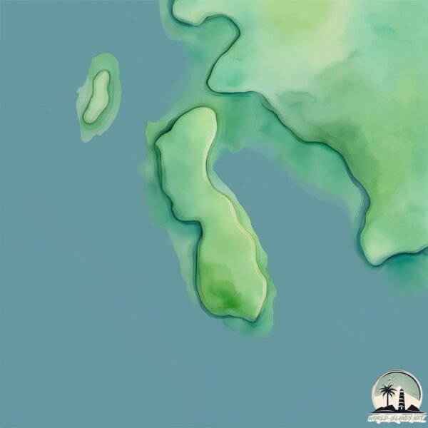
Geography and size of Pulau Iras
Size: 0.401 km²
Coastline: 3.5 km
Ocean: Pacific Ocean
Sea: South China Sea
Continent: Asia
Pulau Iras is a Tiny Island spanning 0.401 km² with a coastline of 3.5 km.
Archipel: Greater Sunda Islands – A group of large islands in Southeast Asia, including Borneo, Sumatra, Java, and Sulawesi, known for their rich biodiversity and cultural diversity.
Tectonic Plate: Sunda – Extends across Southeast Asia, encompassing parts of the Sunda Shelf, known for its interaction with the Australian Plate, contributing to volcanic activity in Indonesia.
The geographic heart of the island is pinpointed at these coordinates:
Latitude: -2.63270955 / Longitude: 110.15081692
Climate and weather of Pulau Iras
Climate Zone: Tropical
Climate Details: Tropical Rainforest Climate
Temperature: Hot
Climate Characteristics: This climate is typified by heavy rainfall throughout the year, high humidity, and consistently high temperatures, leading to lush rainforests and rich biodiversity. Seasonal temperature variations are minimal.
Topography and nature of Pulau Iras
Timezone: UTC+07:00
Timezone places: Asia/Jakarta
Max. Elevation: 6 m
Mean Elevation: 4 m
Vegetation: Agricultural Mosaic
Tree Coverage: 84%
The mean elevation is 4 m. The highest elevation on the island reaches approximately 6 meters above sea level. The island is characterized by Plains: Flat, low-lying lands characterized by a maximum elevation of up to 200 meters. On islands, plains are typically coastal lowlands or central flat areas.
Dominating Vegetation: Agricultural Mosaic
A mix of cropland and natural vegetation, often seen in rural landscapes where agricultural fields are interspersed with patches of natural habitats. Pulau Iras has a tree cover of 84 %.
Vegetation: 3 vegetation zones – Moderately Diverse Island
These islands start to show a broader range of ecological niches. With three vegetation zones, they may offer a mix of ecosystems like coastal areas, inland woods, and perhaps a distinct wetland or dry area. This diversity supports a wider range of flora and fauna, making these islands more ecologically complex than those with minimal diversity.
Infrastructure and Travelling to Pulau Iras
Does the island have a public airport? no.
There is no public and scheduled airport on Pulau Iras. The nearest airport is Rahadi Osman Airport, located 92 km away.
Does the island have a major port? no.
There are no major ports on Pulau Iras. The closest major port is KUMAI, approximately 174 km away.
The mean population of Pulau Iras is 23 per km². Pulau Iras is Gently Populated. The island belongs to Indonesia.
Continuing your journey, Pulau Bawal is the next notable island, situated merely km away.
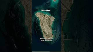
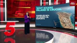
How Kharg Island Could Affect the Iran War

Indonesia is classified as Emerging region: MIKT: Mexico, Indonesia, South Korea, and Turkey – Economies recognized for their development potential and emerging market status. The level of income is Lower middle income.
News – Latest Updates and Headlines from Pulau Iras
Stay informed with the most recent news and important headlines from Pulau Iras. Here’s a roundup of the latest developments.
Please note: The data used here has been primarily extracted from satellite readings. Deviations from exact values may occur, particularly regarding the height of elevations and population density. Land area and coastline measurements refer to average values at mean high tide.