Pulau Sumanga
Welcome to Pulau Sumanga, a Tropical island in the Banda Sea, part of the majestic Pacific Ocean. This guide offers a comprehensive overview of what makes Pulau Sumanga unique – from its geography and climate to its population, infrastructure, and beyond. Dive into the details:
- Geography and Size: Explore the island’s size and location.
- Climate and Weather: Weather patterns and temperature.
- Topography and Nature: Uncover the natural wonders of the island.
- Infrastructure and Travelling: Insights on reaching, staying, and making the most of your visit.
- News and Headlines: Latest News.
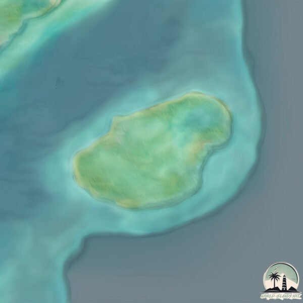
Geography and size of Pulau Sumanga
Size: 1.193 km²
Coastline: 4.4 km
Ocean: Pacific Ocean
Sea: Banda Sea
Continent: Asia
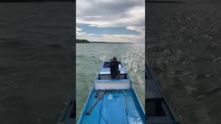
Pulau Sumanga is a Small Island spanning 1.2 km² with a coastline of 4.4 km.
Archipel: Malay Archipelago – The world’s largest archipelago, located between mainland Southeast Asia and Australia, known for its immense biodiversity and cultural diversity.
Tectonic Plate: India – A major tectonic plate that initially moved northward at a rapid pace before colliding with the Eurasian Plate. This collision is responsible for the uplift of the Himalayas and the Tibetan Plateau.
The geographic heart of the island is pinpointed at these coordinates:
Latitude: -5.38943435 / Longitude: 123.6359194
Climate and weather of Pulau Sumanga
Climate Zone: Tropical
Climate Details: Tropical Savanna, Wet
Temperature: Hot
Climate Characteristics: Defined by distinct wet and dry seasons with high temperatures year-round. Pronounced rainfall occurs during the wet season, while the dry season is marked by drought.
Topography and nature of Pulau Sumanga
Timezone: UTC+08:00
Timezone places: Australia/Perth
Max. Elevation: -20 m
Mean Elevation: -35 m
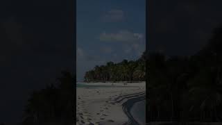
Vegetation: Evergreen Broadleaf Forest
Tree Coverage: 62%
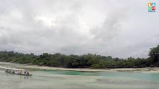
The mean elevation is -35 m. Remarkably, this unique island barely emerges above the sea level, showcasing nature’s fascinating interplay with the ocean. The island is characterized by Plains: Flat, low-lying lands characterized by a maximum elevation of up to 200 meters. On islands, plains are typically coastal lowlands or central flat areas.
Dominating Vegetation: Evergreen Broadleaf Forest
Characterized by dense, lush canopies of broadleaf trees that retain their leaves year-round. These forests are typically found in tropical and subtropical regions and are known for their high biodiversity. Pulau Sumanga has a tree cover of 62 %.
Vegetation: 4 vegetation zones – Diverse Island
Four distinct vegetation zones mark these islands as ecologically diverse. They might feature varied landscapes such as forests, beaches, grasslands, and rocky areas. Such diversity reflects the island’s complex ecological interactions and varied habitats, which can support a rich array of wildlife and plant species.
Infrastructure and Travelling to Pulau Sumanga
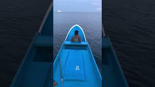
Does the island have a public airport? no.
There is no public and scheduled airport on Pulau Sumanga. The nearest airport is Matahora Airport, located 10 km away.
Does the island have a major port? no.
There are no major ports on Pulau Sumanga. The closest major port is BAUBAU, approximately 113 km away.
The mean population of Pulau Sumanga is 186 per km². Pulau Sumanga is Moderately Inhabited. The island belongs to Indonesia.
Continuing your journey, Pulau Oroho is the next notable island, situated merely km away.
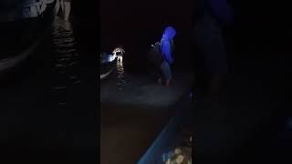
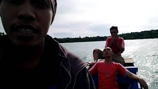
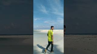
Explore (Pulau Sumanga) | masuk ke dalam pulau tak berpenghuni #pulausumanga #wakatobi


Indonesia is classified as Emerging region: MIKT: Mexico, Indonesia, South Korea, and Turkey – Economies recognized for their development potential and emerging market status. The level of income is Lower middle income.
News – Latest Updates and Headlines from Pulau Sumanga
Stay informed with the most recent news and important headlines from Pulau Sumanga. Here’s a roundup of the latest developments.
Please note: The data used here has been primarily extracted from satellite readings. Deviations from exact values may occur, particularly regarding the height of elevations and population density. Land area and coastline measurements refer to average values at mean high tide.