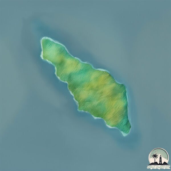
Pulau Tabuhan
Welcome to Pulau Tabuhan, a Tropical island in the Java Sea, part of the majestic Pacific Ocean. This guide offers a comprehensive overview of what makes Pulau Tabuhan unique – from its geography and climate to its population, infrastructure, and beyond. Dive into the details:
- Geography and Size: Explore the island’s size and location.
- Climate and Weather: Weather patterns and temperature.
- Topography and Nature: Uncover the natural wonders of the island.
- Infrastructure and Travelling: Insights on reaching, staying, and making the most of your visit.
- News and Headlines: Latest News.
Geography and size of Pulau Tabuhan
Size: 33.8 km²
Coastline: 30.9 km
Ocean: Pacific Ocean
Sea: Java Sea
Continent: Asia
Pulau Tabuhan is a Medium Island spanning 34 km² with a coastline of 31 km.
Archipel: Greater Sunda Islands – A group of large islands in Southeast Asia, including Borneo, Sumatra, Java, and Sulawesi, known for their rich biodiversity and cultural diversity.
Tectonic Plate: Australia – A major tectonic plate covering Australia, New Zealand, and parts of the Indian and Pacific Oceans, known for its relative stability and occasional seismic activity.
The geographic heart of the island is pinpointed at these coordinates:
Latitude: -5.80346519 / Longitude: 104.82319123
Climate and weather of Pulau Tabuhan
Climate Zone: Tropical
Climate Details: Tropical Rainforest Climate
Temperature: Hot
Climate Characteristics: This climate is typified by heavy rainfall throughout the year, high humidity, and consistently high temperatures, leading to lush rainforests and rich biodiversity. Seasonal temperature variations are minimal.
Topography and nature of Pulau Tabuhan
Timezone: UTC+07:00
Timezone places: Asia/Jakarta
Max. Elevation: 520 m
Mean Elevation: 183 m
Vegetation: Evergreen Broadleaf Forest
Tree Coverage: 86%
The mean elevation is 183 m. The highest elevation on the island reaches approximately 520 meters above sea level. The island is characterized by Plateau: Elevated flatlands rising sharply above the surrounding area, with a maximum elevation over 500 meters but a mean elevation less than 300 meters, forming unique highland areas on islands.
Dominating Vegetation: Evergreen Broadleaf Forest
Characterized by dense, lush canopies of broadleaf trees that retain their leaves year-round. These forests are typically found in tropical and subtropical regions and are known for their high biodiversity. Pulau Tabuhan has a tree cover of 86 %.
Vegetation: 7 vegetation zones – Very Highly Diverse Island
Islands in this range are ecological powerhouses, showcasing a wide array of vegetation zones. Each zone, from lush rainforests to arid scrublands, coastal mangroves to mountainous regions, contributes to a complex and interdependent ecosystem. These islands are often hotspots of biodiversity, supporting numerous species and intricate ecological processes.
Infrastructure and Travelling to Pulau Tabuhan
Does the island have a public airport? no.
There is no public and scheduled airport on Pulau Tabuhan. The nearest airport is Radin Inten II International Airport, located 72 km away.
Does the island have a major port? no.
There are no major ports on Pulau Tabuhan. The closest major port is PANJANG, approximately 64 km away.
The mean population of Pulau Tabuhan is 201 per km². Pulau Tabuhan is Moderately Inhabited. The island belongs to Indonesia.
The name of the island resonates across different cultures and languages. Here is how it is known around the world: Arabic: سومطرة; German: Sumatra; Spanish: Sumatra; French: Sumatra; Portuguese: Sumatra; Russian: Суматра; Chinese: 蘇門答臘
Continuing your journey, Pulau Legundi is the next notable island, situated merely km away.
Menikmati Eksotisme Pulau Tabuhan di Banyuwangi


![A Paradise DESERTED Island in Java? [Pulau Tabuhan]](https://i.ytimg.com/vi/l6ol3xtSwlY/mqdefault.jpg)


Indonesia is classified as Emerging region: MIKT: Mexico, Indonesia, South Korea, and Turkey – Economies recognized for their development potential and emerging market status. The level of income is Lower middle income.
News – Latest Updates and Headlines from Pulau Tabuhan
Stay informed with the most recent news and important headlines from Pulau Tabuhan. Here’s a roundup of the latest developments.
Please note: The data used here has been primarily extracted from satellite readings. Deviations from exact values may occur, particularly regarding the height of elevations and population density. Land area and coastline measurements refer to average values at mean high tide.