Pulau Tobototobu
Welcome to Pulau Tobototobu, a Tropical island in the Java Sea, part of the majestic Pacific Ocean. This guide offers a comprehensive overview of what makes Pulau Tobototobu unique – from its geography and climate to its population, infrastructure, and beyond. Dive into the details:
- Geography and Size: Explore the island’s size and location.
- Climate and Weather: Weather patterns and temperature.
- Topography and Nature: Uncover the natural wonders of the island.
- Infrastructure and Travelling: Insights on reaching, staying, and making the most of your visit.
- News and Headlines: Latest News.
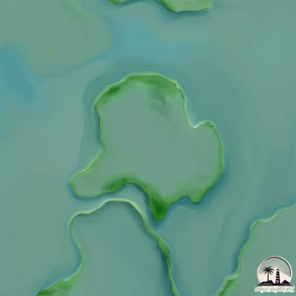
Geography and size of Pulau Tobototobu
Size: 0.885 km²
Coastline: 4.4 km
Ocean: Pacific Ocean
Sea: Java Sea
Continent: Asia
Pulau Tobototobu is a Tiny Island spanning 0.885 km² with a coastline of 4.4 km.
Archipel: Greater Sunda Islands – A group of large islands in Southeast Asia, including Borneo, Sumatra, Java, and Sulawesi, known for their rich biodiversity and cultural diversity.
Tectonic Plate: Sunda – Extends across Southeast Asia, encompassing parts of the Sunda Shelf, known for its interaction with the Australian Plate, contributing to volcanic activity in Indonesia.
The geographic heart of the island is pinpointed at these coordinates:
Latitude: -7.12467864 / Longitude: 115.76639598
Climate and weather of Pulau Tobototobu
Climate Zone: Tropical
Climate Details: Tropical Savanna, Wet
Temperature: Hot
Climate Characteristics: Defined by distinct wet and dry seasons with high temperatures year-round. Pronounced rainfall occurs during the wet season, while the dry season is marked by drought.
Topography and nature of Pulau Tobototobu
Timezone: UTC+07:00
Timezone places: Asia/Jakarta
Max. Elevation: -1 m
Mean Elevation: -1 m
Vegetation: Deciduous Needleleaf Forest
Tree Coverage: 81%
The mean elevation is -1 m. Remarkably, this unique island barely emerges above the sea level, showcasing nature’s fascinating interplay with the ocean. The island is characterized by Plains: Flat, low-lying lands characterized by a maximum elevation of up to 200 meters. On islands, plains are typically coastal lowlands or central flat areas.
Dominating Vegetation: Deciduous Needleleaf Forest
Consists of needleleaf trees that shed their needles annually. This type of forest is less common and can be found in certain cold, northern regions. Pulau Tobototobu has a tree cover of 81 %.
Vegetation: 2 vegetation zones – Low Diversity Island
Islands with two distinct vegetation zones offer slightly more ecological variety. These zones could be due to differences in elevation, moisture, or other environmental factors. While still limited in biodiversity, these islands may offer a contrast between the two zones, such as a coastline with mangroves and an inland area with grassland.
Infrastructure and Travelling to Pulau Tobototobu
Does the island have a public airport? no.
There is no public and scheduled airport on Pulau Tobototobu. The nearest airport is Letkol Wisnu Airstrip, located 170 km away.
Does the island have a major port? no.
There are no major ports on Pulau Tobototobu. The closest major port is CELUKAN BAWANG, approximately 156 km away.
The mean population of Pulau Tobototobu is 522 per km². Pulau Tobototobu is Densely Populated. The island belongs to Indonesia.
Continuing your journey, Pulau Sepanjang is the next notable island, situated merely km away.
Indonesia is classified as Emerging region: MIKT: Mexico, Indonesia, South Korea, and Turkey – Economies recognized for their development potential and emerging market status. The level of income is Lower middle income.
News – Latest Updates and Headlines from Pulau Tobototobu
Stay informed with the most recent news and important headlines from Pulau Tobototobu. Here’s a roundup of the latest developments.
Please note: The data used here has been primarily extracted from satellite readings. Deviations from exact values may occur, particularly regarding the height of elevations and population density. Land area and coastline measurements refer to average values at mean high tide.