Red Island
Welcome to Red Island, a Continental island in the North Atlantic Ocean, part of the majestic Atlantic Ocean. This guide offers a comprehensive overview of what makes Red Island unique – from its geography and climate to its population, infrastructure, and beyond. Dive into the details:
- Geography and Size: Explore the island’s size and location.
- Climate and Weather: Weather patterns and temperature.
- Topography and Nature: Uncover the natural wonders of the island.
- Infrastructure and Travelling: Insights on reaching, staying, and making the most of your visit.
- News and Headlines: Latest News.
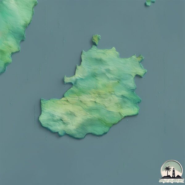
Geography and size of Red Island
Size: 23.1 km²
Coastline: 26.9 km
Ocean: Atlantic Ocean
Sea: North Atlantic Ocean
Continent: North America
Red Island is a Medium Island spanning 23 km² with a coastline of 27 km.
Archipel: –
Tectonic Plate: North America – Covers North America and parts of the Atlantic and Arctic Oceans, characterized by diverse geological features and varying levels of seismic activity.
The geographic heart of the island is pinpointed at these coordinates:
Latitude: 47.38568776 / Longitude: -54.17788031
Climate and weather of Red Island
Climate Zone: Continental
Climate Details: Subarctic Climate
Temperature: Cold Summer
Climate Characteristics: Characterized by long, extremely cold winters and short, cool summers, often found in northern latitudes of North America and Eurasia.
Topography and nature of Red Island
Timezone: UTC-03:30
Timezone places: America/St_Johns
Max. Elevation: 226 m
Mean Elevation: 102 m
Vegetation: Mixed Forest
Tree Coverage: 77%
The mean elevation is 102 m. The highest elevation on the island reaches approximately 226 meters above sea level. The island is characterized by Hills: Gently sloping landforms with rounded tops, having a maximum elevation between 200 and 500 meters. Hills contribute to a varied landscape on islands.
Dominating Vegetation: Mixed Forest
A combination of both deciduous and evergreen trees, often found in transitional zones between forest types. These forests offer a diverse habitat for various wildlife species. Red Island has a tree cover of 77 %.
Vegetation: 12 vegetation zones – Exceptionally Diverse Island
Islands with more than ten vegetation zones are among the most ecologically rich and varied in the world. These islands are akin to miniature continents, boasting an incredible array of ecosystems. The sheer range of habitats, from high peaks to deep valleys, rainforests to deserts, creates a mosaic of life that is unparalleled. They are crucial for conservation and ecological studies.
Infrastructure and Travelling to Red Island
Does the island have a public airport? no.
There is no public and scheduled airport on Red Island. The nearest airport is St. John’s International Airport, located 156 km away.
Does the island have a major port? no.
There are no major ports on Red Island. The closest major port is ARGENTIA, approximately 20 km away.
The mean population of Red Island is 0 per km². Red Island is Uninhabited. The island belongs to Canada.
Continuing your journey, Merasheen is the next notable island, situated merely km away.
RED ISLAND (feat. Yeki, Nuevo, Ack Ibanez)


Canada is classified as Developed region: G7: Group of Seven – Major advanced economies, including Canada, France, Germany, Italy, Japan, the United Kingdom, and the United States. The level of income is High income: OECD.
News – Latest Updates and Headlines from Red Island
Stay informed with the most recent news and important headlines from Red Island. Here’s a roundup of the latest developments.
Please note: The data used here has been primarily extracted from satellite readings. Deviations from exact values may occur, particularly regarding the height of elevations and population density. Land area and coastline measurements refer to average values at mean high tide.