Samos
Welcome to Samos, a Temperate island in the Aegean Sea, part of the majestic Atlantic Ocean. This guide offers a comprehensive overview of what makes Samos unique – from its geography and climate to its population, infrastructure, and beyond. Dive into the details:
- Geography and Size: Explore the island’s size and location.
- Climate and Weather: Weather patterns and temperature.
- Topography and Nature: Uncover the natural wonders of the island.
- Infrastructure and Travelling: Insights on reaching, staying, and making the most of your visit.
- News and Headlines: Latest News.
Geography and size of Samos
Size: 478.6 km²
Coastline: 162.3 km
Ocean: Atlantic Ocean
Sea: Aegean Sea
Continent: Europe
Samos is a Large Island spanning 479 km² with a coastline of 162 km.
Archipel: Mediterranean islands – Encompassing numerous islands in the Mediterranean Sea, each with its own unique culture, history, and natural beauty, from the Balearics to the Greek islands.
Tectonic Plate: Aegean Sea – Located in the eastern Mediterranean, this microplate is characterized by seismic and volcanic activity due to its interaction with the Eurasian and African Plates.
The geographic heart of the island is pinpointed at these coordinates:
Latitude: 37.7334556 / Longitude: 26.81094117
Climate and weather of Samos
Climate Zone: Temperate
Climate Details: Hot-Summer Mediterranean Climate
Temperature: Hot Summer
Climate Characteristics: Characterized by hot, dry summers and mild, wet winters, typical of coastal areas with abundant sunshine.
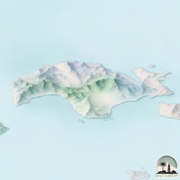
Topography and nature of Samos
Timezone: UTC+02:00
Timezone places: Europe/Mariehamn
Max. Elevation: 1318 m
Mean Elevation: 320 m
Vegetation: Open Woodland
Tree Coverage: 35%
The mean elevation is 320 m. The highest elevation on the island reaches approximately 1318 meters above sea level. The island is characterized by Mountains: High, steeply elevated landforms. Characterized by both a high maximum elevation (over 500 meters) and a high mean elevation, creating rugged, mountainous terrains on islands.
Dominating Vegetation: Open Woodland
Characterized by sparsely distributed trees with open canopy allowing sunlight to penetrate, supporting grasses and shrubs underneath. Often found in drier or transitional environments. Samos has a tree cover of 35 %.
Vegetation: 14 vegetation zones – Exceptionally Diverse Island
Islands with more than ten vegetation zones are among the most ecologically rich and varied in the world. These islands are akin to miniature continents, boasting an incredible array of ecosystems. The sheer range of habitats, from high peaks to deep valleys, rainforests to deserts, creates a mosaic of life that is unparalleled. They are crucial for conservation and ecological studies.
Infrastructure and Travelling to Samos
Does the island have a public airport? yes.
Samos has a public and scheduled airport. The following airports are located on this island: Samos Airport.
Does the island have a major port? yes.
Samos is home to a major port. The following ports are situated on the island: .
The mean population of Samos is 65 per km². Samos is Gently Populated. The island belongs to Greece.
The name of the island resonates across different cultures and languages. Here is how it is known around the world: Arabic: ساموس; German: Samos; Spanish: Samos; French: Samos; Portuguese: Samos; Russian: Самос; Chinese: 萨摩斯岛
Continuing your journey, Nisí Foúrnoi is the next notable island, situated merely km away.
Samos Island , Greece—This is where You NEED to Visit


Greece is classified as Developed region: nonG7: Developed economies outside of the Group of Seven, characterized by high income and advanced economic structures. The level of income is High income: OECD.
News – Latest Updates and Headlines from Samos
Stay informed with the most recent news and important headlines from Samos. Here’s a roundup of the latest developments.
Please note: The data used here has been primarily extracted from satellite readings. Deviations from exact values may occur, particularly regarding the height of elevations and population density. Land area and coastline measurements refer to average values at mean high tide.