San Idelfonso
Welcome to San Idelfonso, a Dry island in the Gulf of California, part of the majestic Pacific Ocean. This guide offers a comprehensive overview of what makes San Idelfonso unique – from its geography and climate to its population, infrastructure, and beyond. Dive into the details:
- Geography and Size: Explore the island’s size and location.
- Climate and Weather: Weather patterns and temperature.
- Topography and Nature: Uncover the natural wonders of the island.
- Infrastructure and Travelling: Insights on reaching, staying, and making the most of your visit.
- News and Headlines: Latest News.
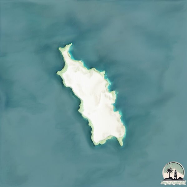
Geography and size of San Idelfonso
Size: 1.03 km²
Coastline: 5.7 km
Ocean: Pacific Ocean
Sea: Gulf of California
Continent: North America
San Idelfonso is a Small Island spanning 1 km² with a coastline of 5.7 km.
Archipel: –
Tectonic Plate: Pacific – The world’s largest tectonic plate, covering much of the Pacific Ocean, known for the Pacific Ring of Fire with extensive seismic and volcanic activity.
The geographic heart of the island is pinpointed at these coordinates:
Latitude: 26.63226443 / Longitude: -111.42996119
Climate and weather of San Idelfonso
Climate Zone: Dry
Climate Details: Hot Deserts Climate
Temperature: Hot
Climate Characteristics: Dominated by extremely hot temperatures, this climate is marked by minimal rainfall and barren landscapes. Nights often experience drastic temperature drops.
Topography and nature of San Idelfonso
Timezone: UTC-07:00
Timezone places: America/Denver
Max. Elevation: -74 m
Mean Elevation: -141 m
Vegetation: Shrubland
Tree Coverage: 30%
The mean elevation is -141 m. Remarkably, this unique island barely emerges above the sea level, showcasing nature’s fascinating interplay with the ocean. The island is characterized by Plains: Flat, low-lying lands characterized by a maximum elevation of up to 200 meters. On islands, plains are typically coastal lowlands or central flat areas.
Dominating Vegetation: Shrubland
Dominated by shrubs and small bushes, these areas are typical in dry, rocky, or sandy environments, as well as in regions with poor soil fertility. San Idelfonso has a tree cover of 30 %.
Vegetation: 2 vegetation zones – Low Diversity Island
Islands with two distinct vegetation zones offer slightly more ecological variety. These zones could be due to differences in elevation, moisture, or other environmental factors. While still limited in biodiversity, these islands may offer a contrast between the two zones, such as a coastline with mangroves and an inland area with grassland.
Infrastructure and Travelling to San Idelfonso
Does the island have a public airport? no.
There is no public and scheduled airport on San Idelfonso. The nearest airport is Loreto International Airport, located 71 km away.
Does the island have a major port? no.
There are no major ports on San Idelfonso. The closest major port is ISLA SAN MARCOS, approximately 95 km away.
The mean population of San Idelfonso is per km². San Idelfonso is . The island belongs to Mexico.
Continuing your journey, Carmen is the next notable island, situated merely km away.
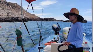
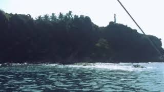
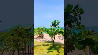
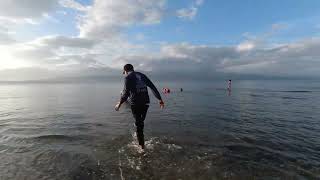
Visite a Isla San Idelfonso. Visiting San Idelfonso Island with Friends


Mexico is classified as Emerging region: MIKT: Mexico, Indonesia, South Korea, and Turkey – Economies recognized for their development potential and emerging market status. The level of income is Upper middle income.
News – Latest Updates and Headlines from San Idelfonso
Stay informed with the most recent news and important headlines from San Idelfonso. Here’s a roundup of the latest developments.
Please note: The data used here has been primarily extracted from satellite readings. Deviations from exact values may occur, particularly regarding the height of elevations and population density. Land area and coastline measurements refer to average values at mean high tide.