San Martin
Welcome to San Martin, a Dry island in the North Pacific Ocean, part of the majestic Pacific Ocean. This guide offers a comprehensive overview of what makes San Martin unique – from its geography and climate to its population, infrastructure, and beyond. Dive into the details:
- Geography and Size: Explore the island’s size and location.
- Climate and Weather: Weather patterns and temperature.
- Topography and Nature: Uncover the natural wonders of the island.
- Infrastructure and Travelling: Insights on reaching, staying, and making the most of your visit.
- News and Headlines: Latest News.
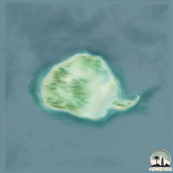
Geography and size of San Martin
Size: 2.691 km²
Coastline: 7 km
Ocean: Pacific Ocean
Sea: North Pacific Ocean
Continent: North America
San Martin is a Small Island spanning 2.7 km² with a coastline of 7 km.
Archipel: –
Tectonic Plate: North America – Covers North America and parts of the Atlantic and Arctic Oceans, characterized by diverse geological features and varying levels of seismic activity.
The geographic heart of the island is pinpointed at these coordinates:
Latitude: 30.48847206 / Longitude: -116.11358683
Climate and weather of San Martin
Climate Zone: Dry
Climate Details: Hot Deserts Climate
Temperature: Hot
Climate Characteristics: Dominated by extremely hot temperatures, this climate is marked by minimal rainfall and barren landscapes. Nights often experience drastic temperature drops.
Topography and nature of San Martin
Timezone: UTC-08:00
Timezone places: America/Los_Angeles
Max. Elevation: 75 m
Mean Elevation: 45 m
Vegetation: Sparse Vegetation
Tree Coverage: 63%
The mean elevation is 45 m. The highest elevation on the island reaches approximately 75 meters above sea level. The island is characterized by Plains: Flat, low-lying lands characterized by a maximum elevation of up to 200 meters. On islands, plains are typically coastal lowlands or central flat areas.
Dominating Vegetation: Sparse Vegetation
These regions have limited plant growth, typically due to extreme conditions like aridity or poor soils. Vegetation is scattered and consists of hardy plant species. San Martin has a tree cover of 63 %.
Vegetation: 5 vegetation zones – Highly Diverse Island
With five different vegetation zones, these islands offer a rich tapestry of ecosystems. The variety could include dense forests, open meadows, wetlands, coastal zones, and more. This level of diversity supports an intricate web of life, with each zone playing a vital role in the overall ecological health and balance of the island.
Infrastructure and Travelling to San Martin
Does the island have a public airport? no.
There is no public and scheduled airport on San Martin. The nearest airport is Ensenada International Airport / El Cipres Air Base, located 154 km away.
Does the island have a major port? no.
There are no major ports on San Martin. The closest major port is ENSENADA, approximately 163 km away.
The mean population of San Martin is 0 per km². San Martin is Uninhabited. The island belongs to Mexico.
Continuing your journey, El Pelicano is the next notable island, situated merely km away.
Best Things To Do in Saint Maarten 4K


Mexico is classified as Emerging region: MIKT: Mexico, Indonesia, South Korea, and Turkey – Economies recognized for their development potential and emerging market status. The level of income is Upper middle income.
News – Latest Updates and Headlines from San Martin
Stay informed with the most recent news and important headlines from San Martin. Here’s a roundup of the latest developments.
Please note: The data used here has been primarily extracted from satellite readings. Deviations from exact values may occur, particularly regarding the height of elevations and population density. Land area and coastline measurements refer to average values at mean high tide.