Sanday Island
Welcome to Sanday Island, a Temperate island in the North Sea, part of the majestic Atlantic Ocean. This guide offers a comprehensive overview of what makes Sanday Island unique – from its geography and climate to its population, infrastructure, and beyond. Dive into the details:
- Geography and Size: Explore the island’s size and location.
- Climate and Weather: Weather patterns and temperature.
- Topography and Nature: Uncover the natural wonders of the island.
- Infrastructure and Travelling: Insights on reaching, staying, and making the most of your visit.
- News and Headlines: Latest News.
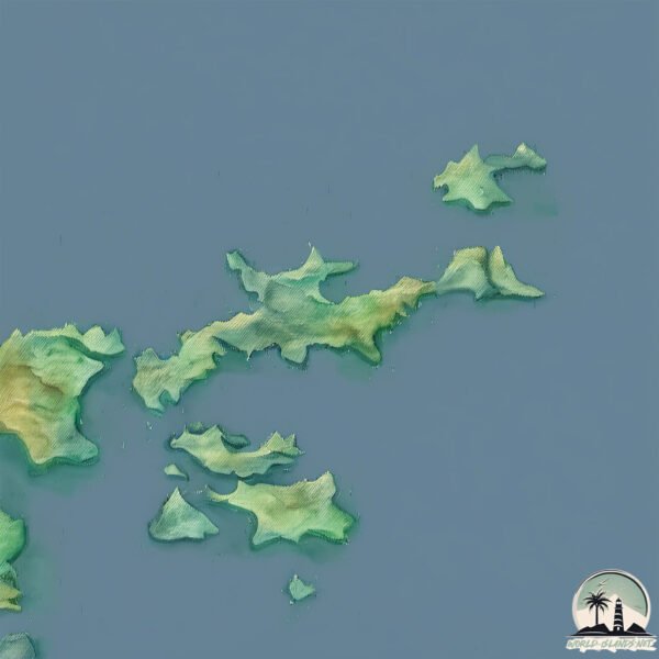
Geography and size of Sanday Island
Size: 54.3 km²
Coastline: 114.6 km
Ocean: Atlantic Ocean
Sea: North Sea
Continent: Europe
Sanday Island is a Medium Island spanning 54 km² with a coastline of 115 km.
Archipel: Orkney Islands – An archipelago off the northeastern coast of Scotland, known for their rich history, unique landscapes, and archaeological sites.
Tectonic Plate: North America – Covers North America and parts of the Atlantic and Arctic Oceans, characterized by diverse geological features and varying levels of seismic activity.
The geographic heart of the island is pinpointed at these coordinates:
Latitude: 59.25816229 / Longitude: -2.56457349
Climate and weather of Sanday Island
Climate Zone: Temperate
Climate Details: Temperate Oceanic Climate
Temperature: Warm Summer
Climate Characteristics: Known for its moderate year-round temperatures with ample rainfall and no dry season. Warm summers are characteristic.
Topography and nature of Sanday Island
Timezone: UTC±00:00
Timezone places: Europe/London
Max. Elevation: 46 m
Mean Elevation: 8 m
Vegetation: Herbaceous Cover
Tree Coverage: 39%
The mean elevation is 8 m. The highest elevation on the island reaches approximately 46 meters above sea level. The island is characterized by Plains: Flat, low-lying lands characterized by a maximum elevation of up to 200 meters. On islands, plains are typically coastal lowlands or central flat areas.
Dominating Vegetation: Herbaceous Cover
Comprising mainly of grasses, herbs, and ferns, these areas are common in prairies, meadows, and savannas, and can vary widely in species composition. Sanday Island has a tree cover of 39 %.
Vegetation: 11 vegetation zones – Exceptionally Diverse Island
Islands with more than ten vegetation zones are among the most ecologically rich and varied in the world. These islands are akin to miniature continents, boasting an incredible array of ecosystems. The sheer range of habitats, from high peaks to deep valleys, rainforests to deserts, creates a mosaic of life that is unparalleled. They are crucial for conservation and ecological studies.
Infrastructure and Travelling to Sanday Island
Does the island have a public airport? yes.
Sanday Island has a public and scheduled airport. The following airports are located on this island: Sanday Airport.
Does the island have a major port? yes.
Sanday Island is home to a major port. The following ports are situated on the island: KETTLETOFT.
The mean population of Sanday Island is 11 per km². Sanday Island is Gently Populated. The island belongs to United Kingdom.
Continuing your journey, Eday is the next notable island, situated merely km away.
Sanday | North Isles | Orkney Islands | Scotland I didn't expect this!


United Kingdom is classified as Developed region: G7: Group of Seven – Major advanced economies, including Canada, France, Germany, Italy, Japan, the United Kingdom, and the United States. The level of income is High income: OECD.
News – Latest Updates and Headlines from Sanday Island
Stay informed with the most recent news and important headlines from Sanday Island. Here’s a roundup of the latest developments.
Please note: The data used here has been primarily extracted from satellite readings. Deviations from exact values may occur, particularly regarding the height of elevations and population density. Land area and coastline measurements refer to average values at mean high tide.