Santa
Welcome to Santa, a Dry island in the South Pacific Ocean, part of the majestic Pacific Ocean. This guide offers a comprehensive overview of what makes Santa unique – from its geography and climate to its population, infrastructure, and beyond. Dive into the details:
- Geography and Size: Explore the island’s size and location.
- Climate and Weather: Weather patterns and temperature.
- Topography and Nature: Uncover the natural wonders of the island.
- Infrastructure and Travelling: Insights on reaching, staying, and making the most of your visit.
- News and Headlines: Latest News.
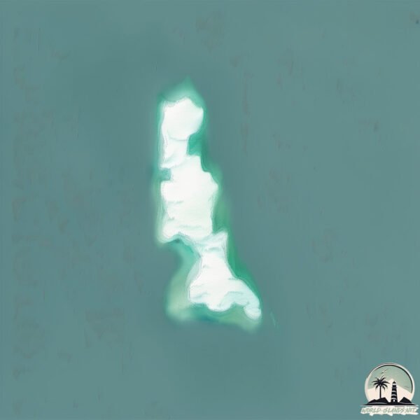
Geography and size of Santa
Size: 1.457 km²
Coastline: 8.7 km
Ocean: Pacific Ocean
Sea: South Pacific Ocean
Continent: South America
Santa is a Small Island spanning 1.5 km² with a coastline of 8.7 km.
Archipel: –
Tectonic Plate: South America – A major plate covering the South American continent and part of the Atlantic Ocean, known for the Andes mountain range and significant seismic and volcanic activity.
The geographic heart of the island is pinpointed at these coordinates:
Latitude: -9.03048309 / Longitude: -78.67611987
Climate and weather of Santa
Climate Zone: Dry
Climate Details: Hot Deserts Climate
Temperature: Hot
Climate Characteristics: Dominated by extremely hot temperatures, this climate is marked by minimal rainfall and barren landscapes. Nights often experience drastic temperature drops.
Topography and nature of Santa
Timezone: UTC-05:00
Timezone places: America/New_York
Max. Elevation: 44 m
Mean Elevation: 30 m
Vegetation: Rocky Terrain
Tree Coverage: 12%
The mean elevation is 30 m. The highest elevation on the island reaches approximately 44 meters above sea level. The island is characterized by Plains: Flat, low-lying lands characterized by a maximum elevation of up to 200 meters. On islands, plains are typically coastal lowlands or central flat areas.
Dominating Vegetation: Rocky Terrain
Landscapes dominated by gravel, rock, and stone, with little to no vegetation. These areas are often found in mountainous regions or deserts. Santa has a tree cover of 12 %.
Vegetation: 3 vegetation zones – Moderately Diverse Island
These islands start to show a broader range of ecological niches. With three vegetation zones, they may offer a mix of ecosystems like coastal areas, inland woods, and perhaps a distinct wetland or dry area. This diversity supports a wider range of flora and fauna, making these islands more ecologically complex than those with minimal diversity.
Infrastructure and Travelling to Santa
Does the island have a public airport? no.
There is no public and scheduled airport on Santa. The nearest airport is FAP Lieutenant Jaime Andres de Montreuil Morales Airport, located 20 km away.
Does the island have a major port? no.
There are no major ports on Santa. The closest major port is PUERTO DE CHIMBOTE, approximately 7 km away.
The mean population of Santa is 1389 per km². Santa is Densely Populated. The island belongs to Peru.
Continuing your journey, San Lorenzo is the next notable island, situated merely km away.
Why is named Christmas Island


Peru is classified as Emerging region: G20: Group of Twenty – Major economies comprising both developed and emerging countries, representing the world’s largest economies. The level of income is Upper middle income.
News – Latest Updates and Headlines from Santa
Stay informed with the most recent news and important headlines from Santa. Here’s a roundup of the latest developments.
Please note: The data used here has been primarily extracted from satellite readings. Deviations from exact values may occur, particularly regarding the height of elevations and population density. Land area and coastline measurements refer to average values at mean high tide.