Santa Ines
Welcome to Santa Ines, a Polar island in the South Pacific Ocean, part of the majestic Pacific Ocean. This guide offers a comprehensive overview of what makes Santa Ines unique – from its geography and climate to its population, infrastructure, and beyond. Dive into the details:
- Geography and Size: Explore the island’s size and location.
- Climate and Weather: Weather patterns and temperature.
- Topography and Nature: Uncover the natural wonders of the island.
- Infrastructure and Travelling: Insights on reaching, staying, and making the most of your visit.
- News and Headlines: Latest News.
Geography and size of Santa Ines
Size: 2729 km²
Coastline: 2777 km
Ocean: Pacific Ocean
Sea: South Pacific Ocean
Continent: South America
Santa Ines is a Very Large Island spanning 2729 km² with a coastline of 2777 km.
Archipel: Andes fueguinos – A subregion of Tierra del Fuego in the southernmost tip of South America, known for its rugged mountain landscapes and remote beauty.
Tectonic Plate: Scotia – Situated in the Southern Ocean, surrounding the Scotia Sea, between South America and Antarctica, known for the Scotia Arc and active seismicity.
The geographic heart of the island is pinpointed at these coordinates:
Latitude: -53.75599693 / Longitude: -72.74264333
Climate and weather of Santa Ines
Climate Zone: Polar
Climate Details: Tundra
Temperature: Cold
Climate Characteristics: The tundra climate features long, extremely cold winters and short, cool summers. Vegetation is limited to mosses, lichens, and small shrubs due to the low temperatures and short growing seasons. Biodiversity is low, but some specialized species thrive.
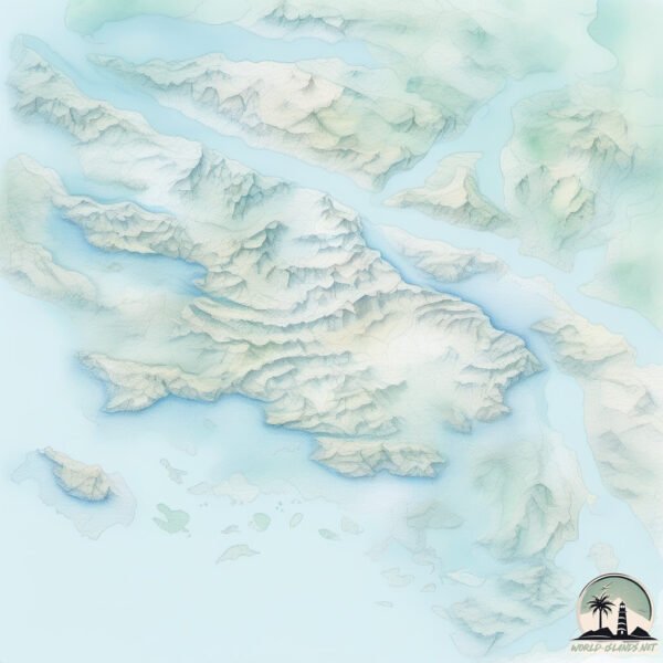
Topography and nature of Santa Ines
Timezone: UTC-04:00
Timezone places: America/La_Paz
Max. Elevation: 1208 m
Mean Elevation: 319 m
Vegetation: Snow and Ice Covered
Tree Coverage: 28%
The mean elevation is 319 m. The highest elevation on the island reaches approximately 1208 meters above sea level. The island is characterized by Mountains: High, steeply elevated landforms. Characterized by both a high maximum elevation (over 500 meters) and a high mean elevation, creating rugged, mountainous terrains on islands.
Dominating Vegetation: Snow and Ice Covered
These areas are permanently or seasonally covered in snow and ice, with little to no vegetation, such as polar regions and high mountains. Santa Ines has a tree cover of 28 %.
Vegetation: 14 vegetation zones – Exceptionally Diverse Island
Islands with more than ten vegetation zones are among the most ecologically rich and varied in the world. These islands are akin to miniature continents, boasting an incredible array of ecosystems. The sheer range of habitats, from high peaks to deep valleys, rainforests to deserts, creates a mosaic of life that is unparalleled. They are crucial for conservation and ecological studies.
Infrastructure and Travelling to Santa Ines
Does the island have a public airport? no.
There is no public and scheduled airport on Santa Ines. The nearest airport is President Carlos Ibañez del Campo International Airport, located 168 km away.
Does the island have a major port? no.
There are no major ports on Santa Ines. The closest major port is CALETA MINA ELENA, approximately 117 km away.
The mean population of Santa Ines is 7 per km². Santa Ines is Gently Populated. The island belongs to Chile.
Continuing your journey, Guardia Marina Zanartu is the next notable island, situated merely km away.
Nearing the Glacier, Santa Ines Island


Chile is classified as Emerging region: G20: Group of Twenty – Major economies comprising both developed and emerging countries, representing the world’s largest economies. The level of income is Upper middle income.
News – Latest Updates and Headlines from Santa Ines
Stay informed with the most recent news and important headlines from Santa Ines. Here’s a roundup of the latest developments.
Social Media Posts about Santa Ines
Please note: The data used here has been primarily extracted from satellite readings. Deviations from exact values may occur, particularly regarding the height of elevations and population density. Land area and coastline measurements refer to average values at mean high tide.