St. Ignace
Welcome to St. Ignace, a Continental island in the Hudson Bay, part of the majestic Atlantic Ocean. This guide offers a comprehensive overview of what makes St. Ignace unique – from its geography and climate to its population, infrastructure, and beyond. Dive into the details:
- Geography and Size: Explore the island’s size and location.
- Climate and Weather: Weather patterns and temperature.
- Topography and Nature: Uncover the natural wonders of the island.
- Infrastructure and Travelling: Insights on reaching, staying, and making the most of your visit.
- News and Headlines: Latest News.
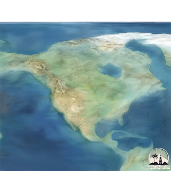
Geography and size of St. Ignace
Size: 37.9 km²
Coastline: 49.9 km
Ocean: Atlantic Ocean
Sea: Hudson Bay
Continent: North America
St. Ignace is a Medium Island spanning 38 km² with a coastline of 50 km.
Archipel: Alexander Archipelago – A group of about 1,100 islands off the southeast coast of Alaska, USA, known for their temperate rainforests and indigenous Tlingit culture.
Tectonic Plate: North America – Covers North America and parts of the Atlantic and Arctic Oceans, characterized by diverse geological features and varying levels of seismic activity.
The geographic heart of the island is pinpointed at these coordinates:
Latitude: 48.14134712 / Longitude: -86.34700422
Climate and weather of St. Ignace
Climate Zone: Continental
Climate Details: Warm-Summer Humid Continental Climate
Temperature: Warm Summer
Climate Characteristics: Features warm summers and cold winters with consistent precipitation, common in higher latitudes.
Topography and nature of St. Ignace
Timezone: UTC-05:00
Timezone places: America/New_York
Max. Elevation: 356 m
Mean Elevation: 181 m
Vegetation: Cultivated Land
Tree Coverage: 35%
The mean elevation is 181 m. The highest elevation on the island reaches approximately 356 meters above sea level. The island is characterized by Hills: Gently sloping landforms with rounded tops, having a maximum elevation between 200 and 500 meters. Hills contribute to a varied landscape on islands.
Dominating Vegetation: Cultivated Land
Areas dedicated to agricultural activities, growing crops like grains, vegetables, and fruits. These lands are usually human-modified landscapes. St. Ignace has a tree cover of 35 %.
Vegetation: 11 vegetation zones – Exceptionally Diverse Island
Islands with more than ten vegetation zones are among the most ecologically rich and varied in the world. These islands are akin to miniature continents, boasting an incredible array of ecosystems. The sheer range of habitats, from high peaks to deep valleys, rainforests to deserts, creates a mosaic of life that is unparalleled. They are crucial for conservation and ecological studies.
Infrastructure and Travelling to St. Ignace
Does the island have a public airport? no.
There is no public and scheduled airport on St. Ignace. The nearest airport is Montréal / Saint-Hubert Airport, located 65 km away.
Does the island have a major port? no.
There are no major ports on St. Ignace. The closest major port is SOREL, approximately 1 km away.
The mean population of St. Ignace is 51 per km². St. Ignace is Gently Populated. The island belongs to Canada.
Continuing your journey, Île de Grâce is the next notable island, situated merely km away.
around St Ignace Island, Lake Superior in da gadda davida


Canada is classified as Developed region: G7: Group of Seven – Major advanced economies, including Canada, France, Germany, Italy, Japan, the United Kingdom, and the United States. The level of income is High income: OECD.
News – Latest Updates and Headlines from St. Ignace
Stay informed with the most recent news and important headlines from St. Ignace. Here’s a roundup of the latest developments.
Please note: The data used here has been primarily extracted from satellite readings. Deviations from exact values may occur, particularly regarding the height of elevations and population density. Land area and coastline measurements refer to average values at mean high tide.