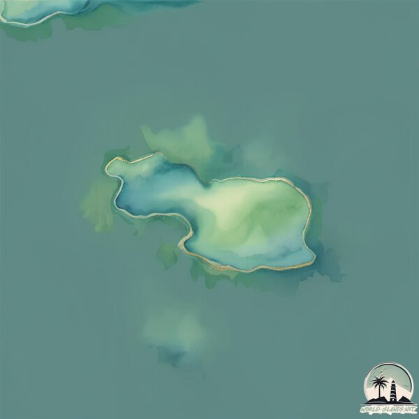
Stora Skallran
Welcome to Stora Skallran, a Continental island in the Gulf of Bothnia, part of the majestic Atlantic Ocean. This guide offers a comprehensive overview of what makes Stora Skallran unique – from its geography and climate to its population, infrastructure, and beyond. Dive into the details:
- Geography and Size: Explore the island’s size and location.
- Climate and Weather: Weather patterns and temperature.
- Topography and Nature: Uncover the natural wonders of the island.
- Infrastructure and Travelling: Insights on reaching, staying, and making the most of your visit.
- News and Headlines: Latest News.
Geography and size of Stora Skallran
Size: 0.133 km²
Coastline: 1.8 km
Ocean: Atlantic Ocean
Sea: Gulf of Bothnia
Continent: Europe
Stora Skallran is a Tiny Island spanning 0.133 km² with a coastline of 1.8 km.
Archipel: –
Tectonic Plate: Eurasia – One of the world’s largest tectonic plates, the Eurasian Plate covers a significant portion of Europe and Asia. It’s characterized by diverse geological features, including the Ural Mountains, the European Plain, and the Himalayas formed from its collision with the Indian Plate.
The geographic heart of the island is pinpointed at these coordinates:
Latitude: 59.93747353 / Longitude: 22.57190324
Climate and weather of Stora Skallran
Climate Zone: Continental
Climate Details: Warm-Summer Humid Continental Climate
Temperature: Warm Summer
Climate Characteristics: Features warm summers and cold winters with consistent precipitation, common in higher latitudes.
Topography and nature of Stora Skallran
Timezone: UTC+02:00
Timezone places: Europe/Helsinki
Max. Elevation: 384 m
Mean Elevation: 147 m
Vegetation: Open Woodland
Tree Coverage: 86%
The mean elevation is 147 m. The highest elevation on the island reaches approximately 384 meters above sea level. The island is characterized by Hills: Gently sloping landforms with rounded tops, having a maximum elevation between 200 and 500 meters. Hills contribute to a varied landscape on islands.
Dominating Vegetation: Open Woodland
Characterized by sparsely distributed trees with open canopy allowing sunlight to penetrate, supporting grasses and shrubs underneath. Often found in drier or transitional environments. Stora Skallran has a tree cover of 86 %.
Vegetation: 1 vegetation zones – Minimal Diversity Island
These islands exhibit the most basic level of ecological diversity, often characterized by a single dominant vegetation type. This could be due to extreme environmental conditions, limited land area, or significant human impact. They represent unique ecosystems where specific species have adapted to thrive in these singular environments.
Infrastructure and Travelling to Stora Skallran
Does the island have a public airport? no.
There is no public and scheduled airport on Stora Skallran. The nearest airport is Turku Airport, located 72 km away.
Does the island have a major port? no.
There are no major ports on Stora Skallran. The closest major port is HANKO, approximately 44 km away.
The mean population of Stora Skallran is per km². Stora Skallran is . The island belongs to Finland.
Continuing your journey, Vanoxa is the next notable island, situated merely km away.
What A Wonderful World- Gunhild Carling Live and Sarza in Stora Skallran


Finland is classified as Developed region: nonG7: Developed economies outside of the Group of Seven, characterized by high income and advanced economic structures. The level of income is High income: OECD.
News – Latest Updates and Headlines from Stora Skallran
Stay informed with the most recent news and important headlines from Stora Skallran. Here’s a roundup of the latest developments.
Please note: The data used here has been primarily extracted from satellite readings. Deviations from exact values may occur, particularly regarding the height of elevations and population density. Land area and coastline measurements refer to average values at mean high tide.