Summer
Welcome to Summer, a Polar island in the Beaufort Sea, part of the majestic Arctic Ocean. This guide offers a comprehensive overview of what makes Summer unique – from its geography and climate to its population, infrastructure, and beyond. Dive into the details:
- Geography and Size: Explore the island’s size and location.
- Climate and Weather: Weather patterns and temperature.
- Topography and Nature: Uncover the natural wonders of the island.
- Infrastructure and Travelling: Insights on reaching, staying, and making the most of your visit.
- News and Headlines: Latest News.
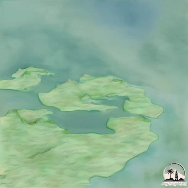
Geography and size of Summer
Size: 33.8 km²
Coastline: 69.9 km
Ocean: Arctic Ocean
Sea: Beaufort Sea
Continent: North America
Summer is a Medium Island spanning 34 km² with a coastline of 70 km.
Archipel: –
Tectonic Plate: North America – Covers North America and parts of the Atlantic and Arctic Oceans, characterized by diverse geological features and varying levels of seismic activity.
The geographic heart of the island is pinpointed at these coordinates:
Latitude: 69.57570512 / Longitude: -133.92175651
Climate and weather of Summer
Climate Zone: Polar
Climate Details: Tundra
Temperature: Cold
Climate Characteristics: The tundra climate features long, extremely cold winters and short, cool summers. Vegetation is limited to mosses, lichens, and small shrubs due to the low temperatures and short growing seasons. Biodiversity is low, but some specialized species thrive.
Topography and nature of Summer
Timezone: UTC-07:00
Timezone places: America/Denver
Max. Elevation: 29 m
Mean Elevation: 6 m
Vegetation: Herbaceous Cover
Tree Coverage: 76%
The mean elevation is 6 m. The highest elevation on the island reaches approximately 29 meters above sea level. The island is characterized by Plains: Flat, low-lying lands characterized by a maximum elevation of up to 200 meters. On islands, plains are typically coastal lowlands or central flat areas.
Dominating Vegetation: Herbaceous Cover
Comprising mainly of grasses, herbs, and ferns, these areas are common in prairies, meadows, and savannas, and can vary widely in species composition. Summer has a tree cover of 76 %.
Vegetation: 4 vegetation zones – Diverse Island
Four distinct vegetation zones mark these islands as ecologically diverse. They might feature varied landscapes such as forests, beaches, grasslands, and rocky areas. Such diversity reflects the island’s complex ecological interactions and varied habitats, which can support a rich array of wildlife and plant species.
Infrastructure and Travelling to Summer
Does the island have a public airport? no.
There is no public and scheduled airport on Summer. The nearest airport is Tuktoyaktuk / James Gruben Airport, located 88 km away.
Does the island have a major port? no.
There are no major ports on Summer. The closest major port is TUKTOYAKTUK, approximately 91 km away.
The mean population of Summer is 0 per km². Summer is Uninhabited. The island belongs to Canada.
Continuing your journey, Hendrickson is the next notable island, situated merely km away.
Summer Island Resort Maldives 🌴 Peaceful retreat in paradise #maldives


Canada is classified as Developed region: G7: Group of Seven – Major advanced economies, including Canada, France, Germany, Italy, Japan, the United Kingdom, and the United States. The level of income is High income: OECD.
News – Latest Updates and Headlines from Summer
Stay informed with the most recent news and important headlines from Summer. Here’s a roundup of the latest developments.
Please note: The data used here has been primarily extracted from satellite readings. Deviations from exact values may occur, particularly regarding the height of elevations and population density. Land area and coastline measurements refer to average values at mean high tide.