Tidra
Welcome to Tidra, a Dry island in the North Atlantic Ocean, part of the majestic Atlantic Ocean. This guide offers a comprehensive overview of what makes Tidra unique – from its geography and climate to its population, infrastructure, and beyond. Dive into the details:
- Geography and Size: Explore the island’s size and location.
- Climate and Weather: Weather patterns and temperature.
- Topography and Nature: Uncover the natural wonders of the island.
- Infrastructure and Travelling: Insights on reaching, staying, and making the most of your visit.
- News and Headlines: Latest News.
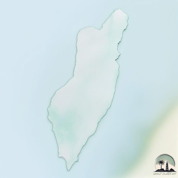
Geography and size of Tidra
Size: 197.9 km²
Coastline: 78.4 km
Ocean: Atlantic Ocean
Sea: North Atlantic Ocean
Continent: Africa
Tidra is a Large Island spanning 198 km² with a coastline of 78 km.
Archipel: –
Tectonic Plate: North America – Covers North America and parts of the Atlantic and Arctic Oceans, characterized by diverse geological features and varying levels of seismic activity.
The geographic heart of the island is pinpointed at these coordinates:
Latitude: 19.73613015 / Longitude: -16.4022913
Climate and weather of Tidra
Climate Zone: Dry
Climate Details: Hot Deserts Climate
Temperature: Hot
Climate Characteristics: Dominated by extremely hot temperatures, this climate is marked by minimal rainfall and barren landscapes. Nights often experience drastic temperature drops.
Topography and nature of Tidra
Timezone: UTC±00:00
Timezone places: Europe/Lisbon
Max. Elevation: 6 m
Mean Elevation: 2 m
Vegetation: Sparse Vegetation
Tree Coverage: 1%
The mean elevation is 2 m. The highest elevation on the island reaches approximately 6 meters above sea level. The island is characterized by Plains: Flat, low-lying lands characterized by a maximum elevation of up to 200 meters. On islands, plains are typically coastal lowlands or central flat areas.
Dominating Vegetation: Sparse Vegetation
These regions have limited plant growth, typically due to extreme conditions like aridity or poor soils. Vegetation is scattered and consists of hardy plant species. Tidra has a tree cover of 1 %.
Vegetation: 11 vegetation zones – Exceptionally Diverse Island
Islands with more than ten vegetation zones are among the most ecologically rich and varied in the world. These islands are akin to miniature continents, boasting an incredible array of ecosystems. The sheer range of habitats, from high peaks to deep valleys, rainforests to deserts, creates a mosaic of life that is unparalleled. They are crucial for conservation and ecological studies.
Infrastructure and Travelling to Tidra
Does the island have a public airport? no.
There is no public and scheduled airport on Tidra. The nearest airport is Nouadhibou International Airport, located 140 km away.
Does the island have a major port? no.
There are no major ports on Tidra. The closest major port is NOUADHIBOU, approximately 140 km away.
The mean population of Tidra is 0 per km². Tidra is Uninhabited. The island belongs to Mauritania.
Continuing your journey, Gouk is the next notable island, situated merely km away.
The Island of Tidra Remembered


Mauritania is classified as Least developed region: Countries that exhibit the lowest indicators of socioeconomic development, with the lowest Human Development Index ratings. The level of income is Low income.
News – Latest Updates and Headlines from Tidra
Stay informed with the most recent news and important headlines from Tidra. Here’s a roundup of the latest developments.
Please note: The data used here has been primarily extracted from satellite readings. Deviations from exact values may occur, particularly regarding the height of elevations and population density. Land area and coastline measurements refer to average values at mean high tide.