Todos Santos
Welcome to Todos Santos, a Dry island in the North Pacific Ocean, part of the majestic Pacific Ocean. This guide offers a comprehensive overview of what makes Todos Santos unique – from its geography and climate to its population, infrastructure, and beyond. Dive into the details:
- Geography and Size: Explore the island’s size and location.
- Climate and Weather: Weather patterns and temperature.
- Topography and Nature: Uncover the natural wonders of the island.
- Infrastructure and Travelling: Insights on reaching, staying, and making the most of your visit.
- News and Headlines: Latest News.
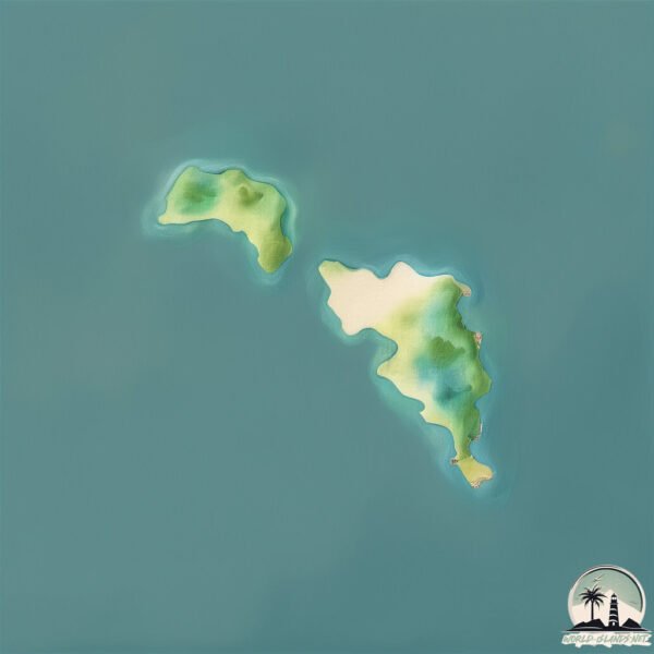
Geography and size of Todos Santos
Size: 0.894 km²
Coastline: 5.7 km
Ocean: Pacific Ocean
Sea: North Pacific Ocean
Continent: North America
Todos Santos is a Tiny Island spanning 0.894 km² with a coastline of 5.7 km.
Archipel: –
Tectonic Plate: Pacific – The world’s largest tectonic plate, covering much of the Pacific Ocean, known for the Pacific Ring of Fire with extensive seismic and volcanic activity.
The geographic heart of the island is pinpointed at these coordinates:
Latitude: 31.80367332 / Longitude: -116.79503133
Climate and weather of Todos Santos
Climate Zone: Dry
Climate Details: Cold Semi-Arid (Steppe) Climate
Temperature: Cold
Climate Characteristics: Characterized by hot summers and cold winters, this climate is typically found on the edges of continental zones. It receives sufficient precipitation to avoid desert conditions.
Topography and nature of Todos Santos
Timezone: UTC-08:00
Timezone places: America/Los_Angeles
Max. Elevation: 7 m
Mean Elevation: -1 m
Vegetation: Shrubland
Tree Coverage: 62%
The mean elevation is -1 m. The highest elevation on the island reaches approximately 7 meters above sea level. The island is characterized by Plains: Flat, low-lying lands characterized by a maximum elevation of up to 200 meters. On islands, plains are typically coastal lowlands or central flat areas.
Dominating Vegetation: Shrubland
Dominated by shrubs and small bushes, these areas are typical in dry, rocky, or sandy environments, as well as in regions with poor soil fertility. Todos Santos has a tree cover of 62 %.
Vegetation: 4 vegetation zones – Diverse Island
Four distinct vegetation zones mark these islands as ecologically diverse. They might feature varied landscapes such as forests, beaches, grasslands, and rocky areas. Such diversity reflects the island’s complex ecological interactions and varied habitats, which can support a rich array of wildlife and plant species.
Infrastructure and Travelling to Todos Santos
Does the island have a public airport? no.
There is no public and scheduled airport on Todos Santos. The nearest airport is Ensenada International Airport / El Cipres Air Base, located 20 km away.
Does the island have a major port? no.
There are no major ports on Todos Santos. The closest major port is ENSENADA, approximately 18 km away.
The mean population of Todos Santos is 0 per km². Todos Santos is Uninhabited. The island belongs to Mexico.
Continuing your journey, San Clemente is the next notable island, situated merely km away.
Todos Santos Island XXL 30 50ft


Mexico is classified as Emerging region: MIKT: Mexico, Indonesia, South Korea, and Turkey – Economies recognized for their development potential and emerging market status. The level of income is Upper middle income.
News – Latest Updates and Headlines from Todos Santos
Stay informed with the most recent news and important headlines from Todos Santos. Here’s a roundup of the latest developments.
Please note: The data used here has been primarily extracted from satellite readings. Deviations from exact values may occur, particularly regarding the height of elevations and population density. Land area and coastline measurements refer to average values at mean high tide.