Ua Huka
Welcome to Ua Huka, a Tropical island in the South Pacific Ocean, part of the majestic Pacific Ocean. This guide offers a comprehensive overview of what makes Ua Huka unique – from its geography and climate to its population, infrastructure, and beyond. Dive into the details:
- Geography and Size: Explore the island’s size and location.
- Climate and Weather: Weather patterns and temperature.
- Topography and Nature: Uncover the natural wonders of the island.
- Infrastructure and Travelling: Insights on reaching, staying, and making the most of your visit.
- News and Headlines: Latest News.
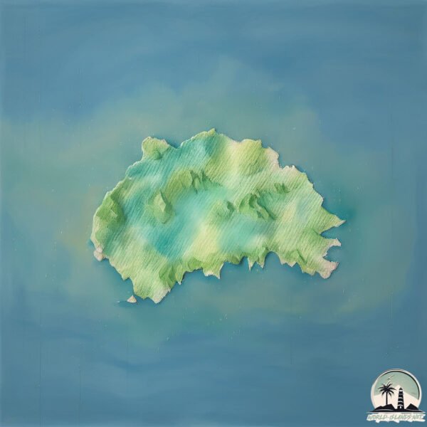
Geography and size of Ua Huka
Size: 86.3 km²
Coastline: 71.5 km
Ocean: Pacific Ocean
Sea: South Pacific Ocean
Continent: Oceania
Ua Huka is a Medium Island spanning 86 km² with a coastline of 72 km.
Archipel: Marquesas Islands – Part of French Polynesia, these islands are known for their rugged, mountainous landscapes, rich Polynesian culture, and historical significance in art and literature.
Tectonic Plate: South America – A major plate covering the South American continent and part of the Atlantic Ocean, known for the Andes mountain range and significant seismic and volcanic activity.
The geographic heart of the island is pinpointed at these coordinates:
Latitude: -8.90761165 / Longitude: -139.5543971
Climate and weather of Ua Huka
Climate Zone: Tropical
Climate Details: Tropical Rainforest Climate
Temperature: Hot
Climate Characteristics: This climate is typified by heavy rainfall throughout the year, high humidity, and consistently high temperatures, leading to lush rainforests and rich biodiversity. Seasonal temperature variations are minimal.
Topography and nature of Ua Huka
Timezone: UTC-09:30
Timezone places: Pacific/Marquesas
Max. Elevation: 776 m
Mean Elevation: 232 m
Vegetation: Evergreen Broadleaf Forest
Tree Coverage: 31%
The mean elevation is 232 m. The highest elevation on the island reaches approximately 776 meters above sea level. The island is characterized by Plateau: Elevated flatlands rising sharply above the surrounding area, with a maximum elevation over 500 meters but a mean elevation less than 300 meters, forming unique highland areas on islands.
Dominating Vegetation: Evergreen Broadleaf Forest
Characterized by dense, lush canopies of broadleaf trees that retain their leaves year-round. These forests are typically found in tropical and subtropical regions and are known for their high biodiversity. Ua Huka has a tree cover of 31 %.
Vegetation: 12 vegetation zones – Exceptionally Diverse Island
Islands with more than ten vegetation zones are among the most ecologically rich and varied in the world. These islands are akin to miniature continents, boasting an incredible array of ecosystems. The sheer range of habitats, from high peaks to deep valleys, rainforests to deserts, creates a mosaic of life that is unparalleled. They are crucial for conservation and ecological studies.
Infrastructure and Travelling to Ua Huka
Does the island have a public airport? yes.
Ua Huka has a public and scheduled airport. The following airports are located on this island: Ua Huka Airport.
Does the island have a major port? no.
There are no major ports on Ua Huka. The closest major port is BAIE TAIOHAE, approximately 52 km away.
The mean population of Ua Huka is 6 per km². Ua Huka is Gently Populated. The island belongs to France.
Continuing your journey, Nuku Hiva is the next notable island, situated merely km away.
The Marquesas: Ua Huka - wild horses, museums, arboretums & hikes to temples aboard the Aranui.


France is classified as Developed region: G7: Group of Seven – Major advanced economies, including Canada, France, Germany, Italy, Japan, the United Kingdom, and the United States. The level of income is High income: OECD.
News – Latest Updates and Headlines from Ua Huka
Stay informed with the most recent news and important headlines from Ua Huka. Here’s a roundup of the latest developments.
Please note: The data used here has been primarily extracted from satellite readings. Deviations from exact values may occur, particularly regarding the height of elevations and population density. Land area and coastline measurements refer to average values at mean high tide.