Wangi-wangi Island
Welcome to Wangi-wangi Island, a Tropical island in the Banda Sea, part of the majestic Pacific Ocean. This guide offers a comprehensive overview of what makes Wangi-wangi Island unique – from its geography and climate to its population, infrastructure, and beyond. Dive into the details:
- Geography and Size: Explore the island’s size and location.
- Climate and Weather: Weather patterns and temperature.
- Topography and Nature: Uncover the natural wonders of the island.
- Infrastructure and Travelling: Insights on reaching, staying, and making the most of your visit.
- News and Headlines: Latest News.
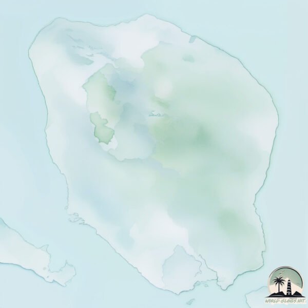
Geography and size of Wangi-wangi Island
Size: 158.7 km²
Coastline: 55.3 km
Ocean: Pacific Ocean
Sea: Banda Sea
Continent: Asia
Wangi-wangi Island is a Large Island spanning 159 km² with a coastline of 55 km.
Archipel: Malay Archipelago – The world’s largest archipelago, located between mainland Southeast Asia and Australia, known for its immense biodiversity and cultural diversity.
Tectonic Plate: Sunda – Extends across Southeast Asia, encompassing parts of the Sunda Shelf, known for its interaction with the Australian Plate, contributing to volcanic activity in Indonesia.
The geographic heart of the island is pinpointed at these coordinates:
Latitude: -5.31197199 / Longitude: 123.58403238
Climate and weather of Wangi-wangi Island
Climate Zone: Tropical
Climate Details: Tropical Savanna, Wet
Temperature: Hot
Climate Characteristics: Defined by distinct wet and dry seasons with high temperatures year-round. Pronounced rainfall occurs during the wet season, while the dry season is marked by drought.
Topography and nature of Wangi-wangi Island
Timezone: UTC+08:00
Timezone places: Australia/Perth
Max. Elevation: 204 m
Mean Elevation: 43 m
Vegetation: Agricultural Mosaic
Tree Coverage: 31%
The mean elevation is 43 m. The highest elevation on the island reaches approximately 204 meters above sea level. The island is characterized by Hills: Gently sloping landforms with rounded tops, having a maximum elevation between 200 and 500 meters. Hills contribute to a varied landscape on islands.
Dominating Vegetation: Agricultural Mosaic
A mix of cropland and natural vegetation, often seen in rural landscapes where agricultural fields are interspersed with patches of natural habitats. Wangi-wangi Island has a tree cover of 31 %.
Vegetation: 11 vegetation zones – Exceptionally Diverse Island
Islands with more than ten vegetation zones are among the most ecologically rich and varied in the world. These islands are akin to miniature continents, boasting an incredible array of ecosystems. The sheer range of habitats, from high peaks to deep valleys, rainforests to deserts, creates a mosaic of life that is unparalleled. They are crucial for conservation and ecological studies.
Infrastructure and Travelling to Wangi-wangi Island
Does the island have a public airport? yes.
Wangi-wangi Island has a public and scheduled airport. The following airports are located on this island: Matahora Airport.
Does the island have a major port? no.
There are no major ports on Wangi-wangi Island. The closest major port is RAHA ROADSTEAD, approximately 99 km away.
The mean population of Wangi-wangi Island is 186 per km². Wangi-wangi Island is Moderately Inhabited. The island belongs to Indonesia.
Continuing your journey, Pulau Oroho is the next notable island, situated merely km away.
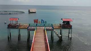
Wakatobi_Wangi Wangi : Wangi wangi island


Indonesia is classified as Emerging region: MIKT: Mexico, Indonesia, South Korea, and Turkey – Economies recognized for their development potential and emerging market status. The level of income is Lower middle income.
News – Latest Updates and Headlines from Wangi-wangi Island
Stay informed with the most recent news and important headlines from Wangi-wangi Island. Here’s a roundup of the latest developments.
Please note: The data used here has been primarily extracted from satellite readings. Deviations from exact values may occur, particularly regarding the height of elevations and population density. Land area and coastline measurements refer to average values at mean high tide.