Wanua Seha Labo
Welcome to Wanua Seha Labo, a Tropical island in the Molukka Sea, part of the majestic Pacific Ocean. This guide offers a comprehensive overview of what makes Wanua Seha Labo unique – from its geography and climate to its population, infrastructure, and beyond. Dive into the details:
- Geography and Size: Explore the island’s size and location.
- Climate and Weather: Weather patterns and temperature.
- Topography and Nature: Uncover the natural wonders of the island.
- Infrastructure and Travelling: Insights on reaching, staying, and making the most of your visit.
- News and Headlines: Latest News.
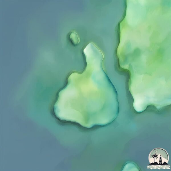
Geography and size of Wanua Seha Labo
Size: 0.421 km²
Coastline: 2.9 km
Ocean: Pacific Ocean
Sea: Molukka Sea
Continent: Oceania
Wanua Seha Labo is a Tiny Island spanning 0.421 km² with a coastline of 2.9 km.
Archipel: –
Tectonic Plate: Sunda – Extends across Southeast Asia, encompassing parts of the Sunda Shelf, known for its interaction with the Australian Plate, contributing to volcanic activity in Indonesia.
The geographic heart of the island is pinpointed at these coordinates:
Latitude: 2.11596777 / Longitude: 125.35028601
Climate and weather of Wanua Seha Labo
Climate Zone: Tropical
Climate Details: Tropical Rainforest Climate
Temperature: Hot
Climate Characteristics: This climate is typified by heavy rainfall throughout the year, high humidity, and consistently high temperatures, leading to lush rainforests and rich biodiversity. Seasonal temperature variations are minimal.
Topography and nature of Wanua Seha Labo
Timezone: UTC+08:00
Timezone places: Australia/Perth
Max. Elevation: 10 m
Mean Elevation: 1 m
Vegetation: Deciduous Needleleaf Forest
Tree Coverage: 9%
The mean elevation is 1 m. The highest elevation on the island reaches approximately 10 meters above sea level. The island is characterized by Plains: Flat, low-lying lands characterized by a maximum elevation of up to 200 meters. On islands, plains are typically coastal lowlands or central flat areas.
Dominating Vegetation: Deciduous Needleleaf Forest
Consists of needleleaf trees that shed their needles annually. This type of forest is less common and can be found in certain cold, northern regions. Wanua Seha Labo has a tree cover of 9 %.
Vegetation: 1 vegetation zones – Minimal Diversity Island
These islands exhibit the most basic level of ecological diversity, often characterized by a single dominant vegetation type. This could be due to extreme environmental conditions, limited land area, or significant human impact. They represent unique ecosystems where specific species have adapted to thrive in these singular environments.
Infrastructure and Travelling to Wanua Seha Labo
Does the island have a public airport? no.
There is no public and scheduled airport on Wanua Seha Labo. The nearest airport is Sam Ratulangi Airport, located 78 km away.
Does the island have a major port? no.
There are no major ports on Wanua Seha Labo. The closest major port is BITUNG, approximately 78 km away.
The mean population of Wanua Seha Labo is 299 per km². Wanua Seha Labo is Moderately Inhabited. The island belongs to Indonesia.
Continuing your journey, Pulau Biaro is the next notable island, situated merely km away.
Indonesia is classified as Emerging region: MIKT: Mexico, Indonesia, South Korea, and Turkey – Economies recognized for their development potential and emerging market status. The level of income is Lower middle income.
News – Latest Updates and Headlines from Wanua Seha Labo
Stay informed with the most recent news and important headlines from Wanua Seha Labo. Here’s a roundup of the latest developments.
Please note: The data used here has been primarily extracted from satellite readings. Deviations from exact values may occur, particularly regarding the height of elevations and population density. Land area and coastline measurements refer to average values at mean high tide.