White Cockade
Welcome to White Cockade, a Continental island in the Labrador Sea, part of the majestic Atlantic Ocean. This guide offers a comprehensive overview of what makes White Cockade unique – from its geography and climate to its population, infrastructure, and beyond. Dive into the details:
- Geography and Size: Explore the island’s size and location.
- Climate and Weather: Weather patterns and temperature.
- Topography and Nature: Uncover the natural wonders of the island.
- Infrastructure and Travelling: Insights on reaching, staying, and making the most of your visit.
- News and Headlines: Latest News.
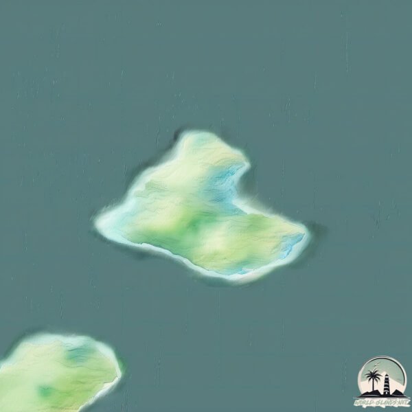
Geography and size of White Cockade
Size: 2.128 km²
Coastline: 7 km
Ocean: Atlantic Ocean
Sea: Labrador Sea
Continent: North America
White Cockade is a Small Island spanning 2.1 km² with a coastline of 7 km.
Archipel: –
Tectonic Plate: North America – Covers North America and parts of the Atlantic and Arctic Oceans, characterized by diverse geological features and varying levels of seismic activity.
The geographic heart of the island is pinpointed at these coordinates:
Latitude: 54.58484855 / Longitude: -57.13947708
Climate and weather of White Cockade
Climate Zone: Continental
Climate Details: Subarctic Climate
Temperature: Cold Summer
Climate Characteristics: Characterized by long, extremely cold winters and short, cool summers, often found in northern latitudes of North America and Eurasia.
Topography and nature of White Cockade
Timezone: UTC-04:00
Timezone places: America/La_Paz
Max. Elevation: 45 m
Mean Elevation: 29 m
Vegetation: Wetland
Tree Coverage: 61%
The mean elevation is 29 m. The highest elevation on the island reaches approximately 45 meters above sea level. The island is characterized by Plains: Flat, low-lying lands characterized by a maximum elevation of up to 200 meters. On islands, plains are typically coastal lowlands or central flat areas.
Dominating Vegetation: Wetland
These areas are saturated with water, either permanently or seasonally, and support aquatic plants. Wetlands are important for biodiversity and water filtration. White Cockade has a tree cover of 61 %.
Vegetation: 5 vegetation zones – Highly Diverse Island
With five different vegetation zones, these islands offer a rich tapestry of ecosystems. The variety could include dense forests, open meadows, wetlands, coastal zones, and more. This level of diversity supports an intricate web of life, with each zone playing a vital role in the overall ecological health and balance of the island.
Infrastructure and Travelling to White Cockade
Does the island have a public airport? no.
There is no public and scheduled airport on White Cockade. The nearest airport is Cartwright Airport, located 100 km away.
Does the island have a major port? no.
There are no major ports on White Cockade. The closest major port is BLANC SABLON, approximately 351 km away.
The mean population of White Cockade is 0 per km². White Cockade is Uninhabited. The island belongs to Canada.
Continuing your journey, George is the next notable island, situated merely km away.
The White Cockade / Petronella / The Duke And Duchess Of Edinburgh / Staten Island / The...


Canada is classified as Developed region: G7: Group of Seven – Major advanced economies, including Canada, France, Germany, Italy, Japan, the United Kingdom, and the United States. The level of income is High income: OECD.
News – Latest Updates and Headlines from White Cockade
Stay informed with the most recent news and important headlines from White Cockade. Here’s a roundup of the latest developments.
Please note: The data used here has been primarily extracted from satellite readings. Deviations from exact values may occur, particularly regarding the height of elevations and population density. Land area and coastline measurements refer to average values at mean high tide.