Welcome to Hmau Bhi Kyun, a Tropical island in the Andaman or Burma Sea, part of the majestic Indian Ocean. This guide offers a comprehensive overview of what makes Hmau Bhi Kyun unique – from its geography and climate to its population, infrastructure, and beyond. Dive into the details:
Size: 90.3 km² Coastline: 58.8 km Ocean: Indian Ocean Sea: Andaman or Burma Sea Continent: Asia
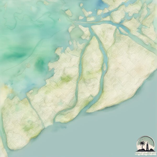
Hmau Bhi Kyun is a Medium Island spanning 90 km² with a coastline of 59 km.
Archipel: –
Tectonic Plate: India – A major tectonic plate that initially moved northward at a rapid pace before colliding with the Eurasian Plate. This collision is responsible for the uplift of the Himalayas and the Tibetan Plateau.
The geographic heart of the island is pinpointed at these coordinates: Latitude: 16.27972865 / Longitude: 95.91557881
Climate and weather of Hmau Bhi Kyun
Climate Zone: Tropical Climate Details: Tropical Monsoon Climate Temperature: Hot
Climate Characteristics: Characterized by heavy rainfall, high humidity, and uniformly high temperatures, but with a distinct short dry season. It features a seasonal reversal of prevailing wind directions.