North Caicos
Welcome to North Caicos, a Tropical island in the North Atlantic Ocean, part of the majestic Atlantic Ocean. This guide offers a comprehensive overview of what makes North Caicos unique – from its geography and climate to its population, infrastructure, and beyond. Dive into the details:
- Geography and Size: Explore the island’s size and location.
- Climate and Weather: Weather patterns and temperature.
- Topography and Nature: Uncover the natural wonders of the island.
- Infrastructure and Travelling: Insights on reaching, staying, and making the most of your visit.
Geography and size of North Caicos
Size: 207.185 km²
Coastline: 108.2 km
Ocean: Atlantic Ocean
Sea: North Atlantic Ocean
Continent: North America
North Caicos is a Large Island spanning 207.2 km² with a coastline of 108.2 km.
Archipel: Bahama Islands – An archipelago in the Atlantic Ocean, known for their stunning beaches, coral reefs, and vibrant culture.
Tectonic Plate: Eurasia – One of the world’s largest tectonic plates, the Eurasian Plate covers a significant portion of Europe and Asia. It’s characterized by diverse geological features, including the Ural Mountains, the European Plain, and the Himalayas formed from its collision with the Indian Plate.
The geographic heart of the island is pinpointed at these coordinates:
Latitude: 21.88169682 / Longitude: -71.96355364
Climate and weather of North Caicos
Climate Zone: Tropical
Climate Details: Tropical Savanna, Wet
Temperature: Hot
Climate Characteristics: Defined by distinct wet and dry seasons with high temperatures year-round. Pronounced rainfall occurs during the wet season, while the dry season is marked by drought.
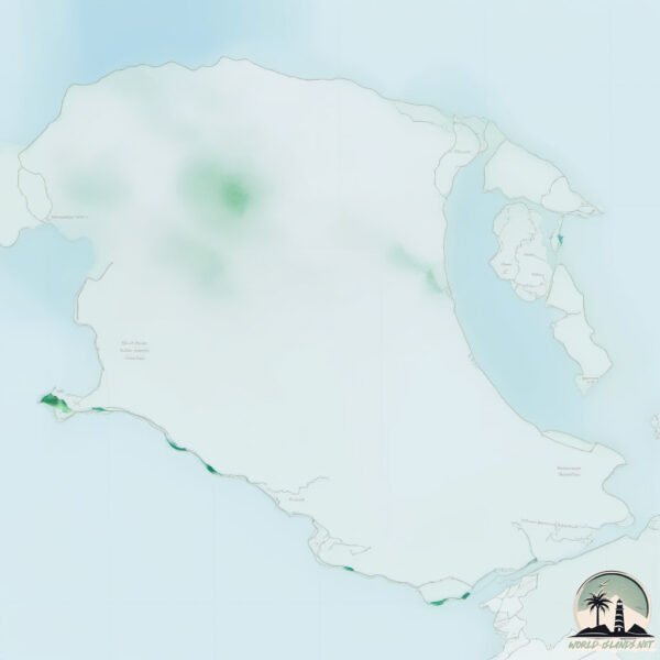
Topography and nature of North Caicos
Timezone: UTC-05:00
Timezone places: America/New_York
Max. Elevation: 17 m
Mean Elevation: 3 m
Vegetation: Open Woodland
Tree Coverage: 89%
The mean elevation is 3 m. The highest elevation on the island reaches approximately 17 meters above sea level. The island is characterized by Plains: Flat, low-lying lands characterized by a maximum elevation of up to 200 meters.
Dominating Vegetation: Open Woodland
Characterized by sparsely distributed trees with open canopy allowing sunlight to penetrate, supporting grasses and shrubs underneath. Often found in drier or transitional environments. North Caicos has a tree cover of 89 %.
Vegetation: 15 vegetation zones – Exceptionally Diverse Island
With more than ten vegetation zones, this island ranks among the most ecologically varied, resembling a miniature continent. Its incredible range of habitats, from peaks to valleys, fosters a diverse mosaic of life that is unparalleled.
Infrastructure and Travelling to North Caicos
The mean population of North Caicos is 5 per km². North Caicos is Gently Populated. The island belongs to United Kingdom.
United Kingdom is classified as Developed region: G7: Group of Seven – Major advanced economies, including Canada, France, Germany, Italy, Japan, the United Kingdom, and the United States. The level of income is High income: OECD.
Continuing your journey, is the next notable island, situated merely km away.
Does the island have a public airport with scheduled flights? yes.
North Caicos has a public and scheduled airport. The following airports are located on this island: North Caicos Airport.
Does the island have a major port? no.
There are no major ports on North Caicos. The closest major port is COCKBURN HARBOR, approximately 51 km away.
Please note: The data used here has been primarily extracted from satellite readings. Deviations from exact values may occur, particularly regarding population density, the height of elevations, land area, and coastline measurements. The latter refers to average values at mean high tide.